A few spotty showers this morning have since moved off the coast.
Clouds linger behind through the morning hours with some peeks of sunshine developing by the afternoon. Get ready for the spring preview today with high temperatures stretching into the low to mid 50s this afternoon (similar to last weekend’s warmth).
High pressure strengthens to our south Thursday, with much warmer weather expected. We may even set record high temperatures tomorrow with highs stretching into the 60s for southern New England.

Boston’s forecasted high temperature is 63°, which is at least 23° warmer than the normal for this time of the year and just two degrees shy of the record high of 65° back in 1990. Northern New England, high temperatures will still be well above normal into the 40s.
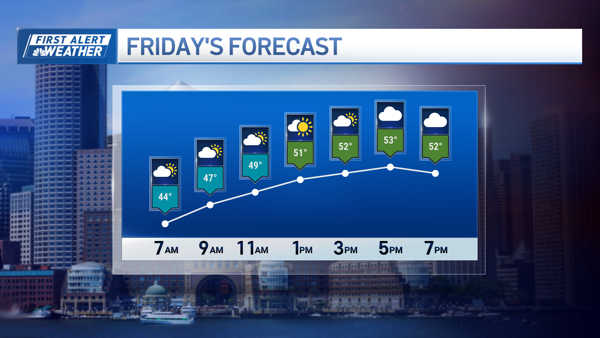
A few rain showers could spur up by Thursday evening along a weak cold front that slides into northern New England by the late evening. This front may bring cooler weather to parts of Maine and eastern Massachusetts Friday morning.
Friday’s high temperatures stretch into the lower 50s, but the rollercoaster ride of temperatures increase for the first half of the weekend ahead of the next front. This front is more potent and slides in on Saturday with downpours likely late and at night, possibly a thunderstorm. A southeasterly wind will change to out of the south ahead of the front and will become gusty by the afternoon. High temperatures on Saturday again reach in the 50s to low 60s.
Local
In-depth news coverage of the Greater Boston Area.
By Sunday, that front moves out to sea and ushers in colder, drier weather behind it for the second half of the weekend besides a few snow showers in the mountains. Seasonable high temperatures for Sunday afternoon with highs in the 40s south, and 30s north.
Monday and Tuesday remain dry, with closer to normal high temperatures for this time of year, however Wednesday is the day to watch with a chance for snow north, and rain south. An area of wintry mix could possibly form between these two areas.


