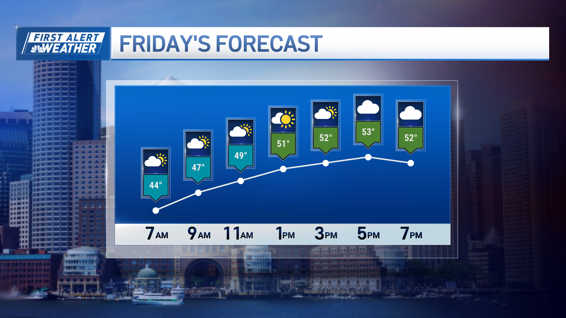
The front that resulted in many lightning strikes Friday, and unequal amounts of rainfall ranging from near zero to an inch, is now offshore.
The heat wave is behind us, and a beautiful summer weekend is ahead.
High pressure from Canada with the gusty winds from the northwest is ushering in drier air from north to south. Temperatures cooled Friday night to the 40s near the Canadian border to near 65 at the South Coast.
Most of us start our Saturday in the 50s with a perfectly sunny sky.
The wind will tend to decrease by midday, it will come in from off the ocean keeping the beaches in the 70s, inland we go to 80 degrees with full on sunshine for our Saturday.
Flooding, Damage From Friday Storms
It will be another comfortable night for sleeping Saturday night with very little wind. There will be dew in the grass Sunday morning with a low temperature in the 40s and 50s once again.
Local
In-depth news coverage of the Greater Boston Area.
High pressure moves off to the east of us Sunday afternoon allowing for a return flow from the south, a little cooler at the beach, but in the mid-80s inland with another sunny day.
It now looks like the heat is going to come back for a day or two Monday and Tuesday, high temperature close to 90 degrees with moderate humidity.
By the middle of next week we're going to be watching another front from Canada come at us from the north, and perhaps a new tropical system developing off North Carolina approaching from the south.
Meanwhile way out in the Atlantic Ocean, Beryl defied all odds and became a hurricane, we will be tracking throughout the weekend as it heads toward the Caribbean. It may impact the Lesser Antilles by Sunday.


