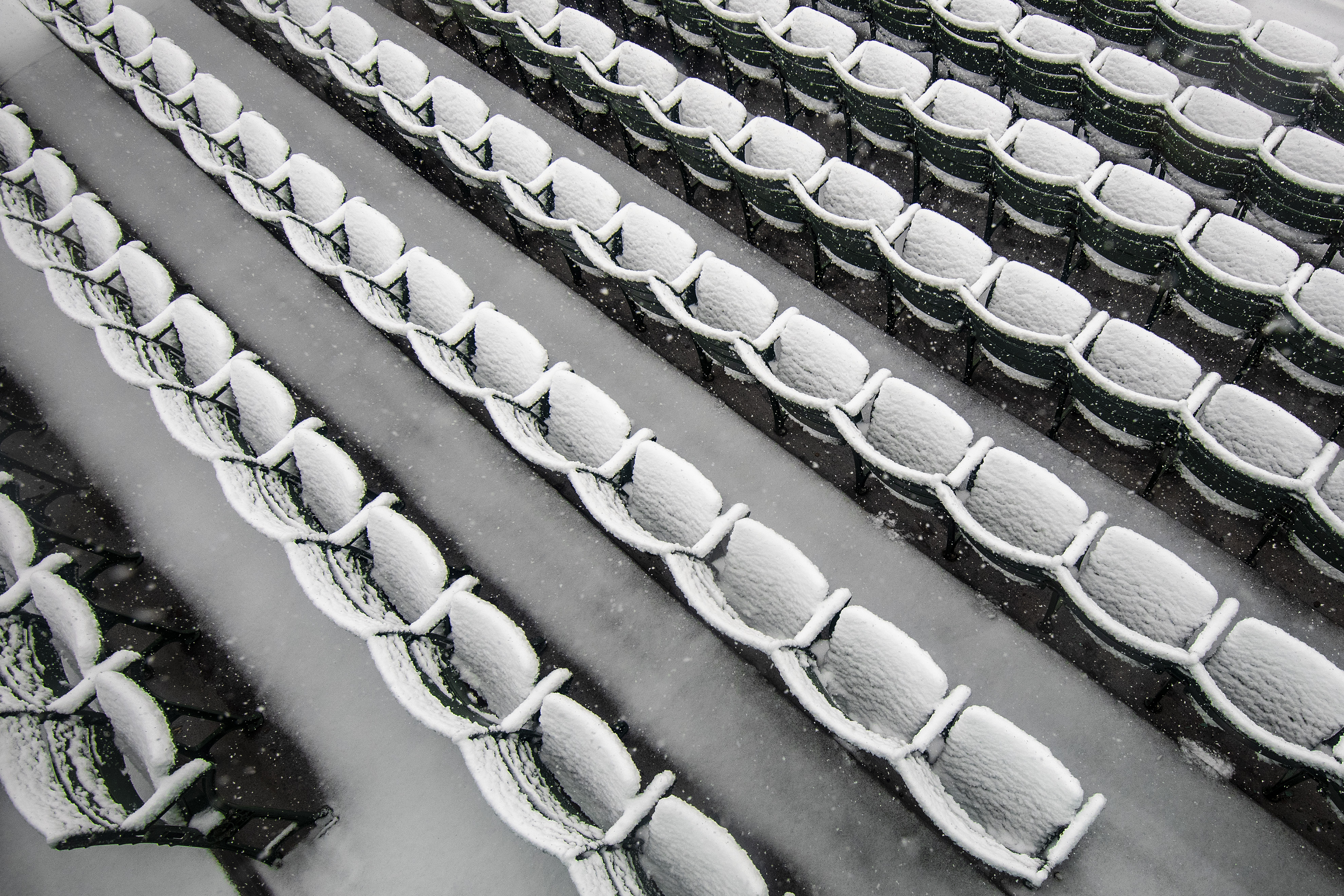
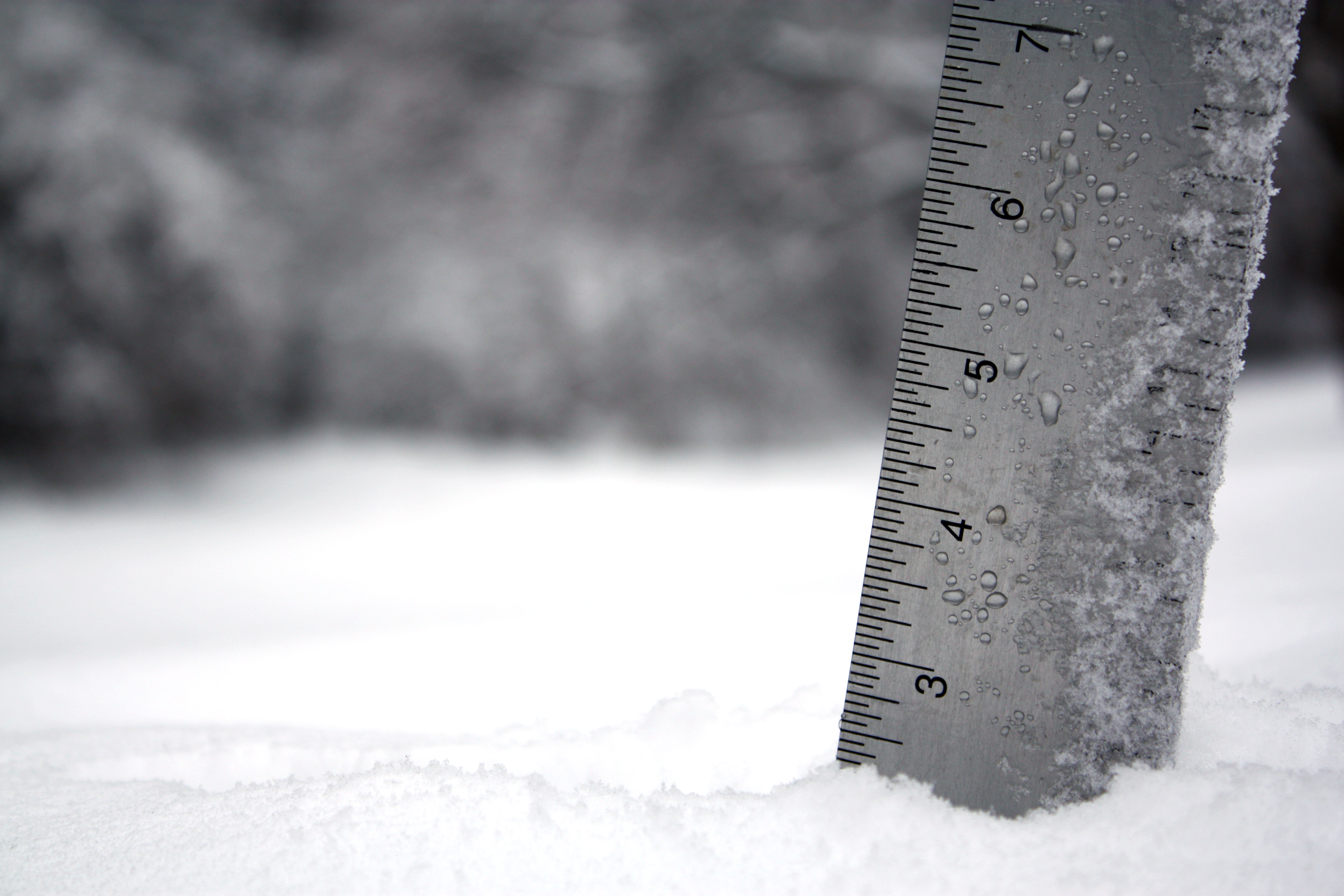
April snow in New England isn’t uncommon and Friday saw some areas pick up half a foot, while others just got a coating on the ground.
With these spring storms we always get a few surprises and one of them was early this morning when the snow was accumulating in northeastern Connecticut, while it was raining in southern New Hampshire. Then, even as the sun got higher in the sky, rain changed to snow around Boston and southern New Hampshire about 9 a.m.
Yes, the sun higher in the sky usually makes a difference in spring storms, but apparently not so much today.
The wind will ramp up along the North Shore and Boston with gusts up to 50 mph, with some areas in danger of losing power.
Get Boston local news, weather forecasts, lifestyle and entertainment stories to your inbox. Sign up for NBC Boston’s newsletters.
Showers will continue Friday evening while heavy snow will continue in the higher elevations and the wintry mix will go back and forth at lower elevations.
The storm will weaken and slowly move east and out to sea Friday night and Saturday. An upper-level low will keep cold air aloft, so with daytime heating both weekend days, instability clouds will form with a few mixed showers Saturday and Sunday. Our best chance of sunshine is near the south coast and toward the border with New York and western New England.
Temperatures Saturday are going to be in the 40s, back into the low 50s in spots on Sunday, when we have breaks of sunshine.
There is going to be a strong storm in the Great Lakes with snow near Chicago on Tuesday. We will be on the front side of that, with the wind from the southwest pushing us to near 70 degrees Tuesday, which is the best day of the week to enjoy the outdoors.
That system will come to New England on Wednesday, with a chance for rain and snow lasting into Thursday. As of now, next weekend is trending a tad milder with highs near 60.
Make sure to stay tuned to our First Alert 10-Day Forecast for the latest updates.


