Rain falls across all of southern New England as low pressure develops across eastern Massachusetts.
We are expecting up to 2 inches of snow from the Interstate 495 corridor east to Interstate 95, 3 to 6 inches across northern Massachusetts, 6 inches to a foot from the New Hampshire border north into southern New Hampshire and Vermont and up to 1-1/2 feet across central and northern New Hampshire and Maine.
Speed limits on the western part of the Massachusetts Turnpike and the southern portion of the Maine Turnpike have been reduced due to the inclement weather. New Hampshire officials are urging motorists to stay off the roads after 6 p.m. if possible.
Though it's school vacation for most, a handful of schools have cancelled classes and several courts in Massachusetts are also closing early due to the snow.
By Thursday night, slight changes have been made to the forecast. As cold air races its way into the area, snow will shift into the I-495 corridor by 9 p.m., with the heavy rainfall we experienced in the afternoon shifting to heavy snow or a wintry mix in areas, which will make for reduced visibility and slippery driving conditions.
Pockets of very heavy snow will continue into southern New Hampshire and north central Massachusetts through this evening with snowfall rates at 1 to 2 inches per hour possible.
Local
In-depth news coverage of the Greater Boston Area.
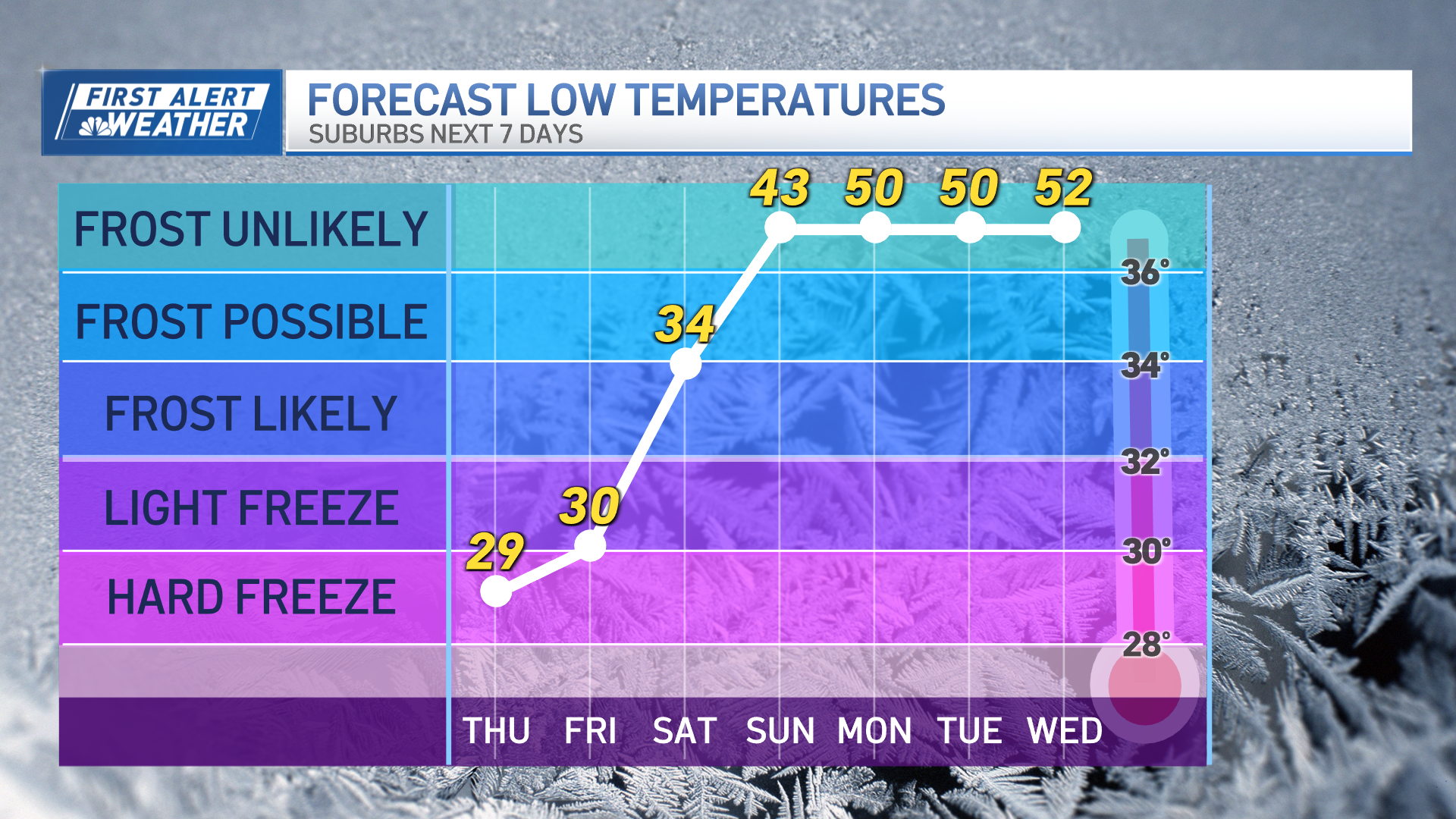
The system will continue its track north and east, hugging the New England coastline, and the rain/snow will end for most of New England, besides the threat for snow to continue into the Crown of Maine through Friday morning. Lows will bottom out in the mid to upper 20s for most locations, which could allow for some refreezing overnight into southern New England.
High winds are also expected overnight, with wind gusts up to 50 mph expected along the coast. Some power outages could occur through Friday morning.
Friday features a few clouds and snow showers early before sunny skies move in for the remainder of the day. Gusty winds diminish late morning and highs will peak around 30 degrees north to the low 40s south.
Another weather system approaches from the Great Lakes on New Year's Eve. The first half of the day will feature partly cloudy skies before clouds build in during the afternoon. A fast-moving clipper system brings the threat of snow showers during the evening as it passes overhead. Highs will be in the mid 20s north and mid to upper 30s south.
The clipper moves away from the region by New Year's Day as high pressure noses into the region behind it. We're expecting mostly sunny skies with highs moderating into the 30s north and mid 40s south.
Looking ahead into the start of the work week, high pressure slides offshore toward the Canadian Maritimes on Monday as another weather system approaches from the southeast.
By Tuesday, the system is right over the region, bringing cloudy skies and some precipitation with it. Highs on Monday and Tuesday will be in the 30s to the north and the 40s south.


