Skip to content
Main Navigation
Search
Search for:
Local
Weather
Investigations
Videos
Sports
U.S. & World
Traffic
Newsletters
Live TV
Trending
24/7 streaming news
Karen Read trial
'Mazzulla' docuseries
Ana Walshe podcast
Paris Olympics
Kwani Has Questions
@Issue
NBC Sports Boston
Expand
Brockton
1 hour ago
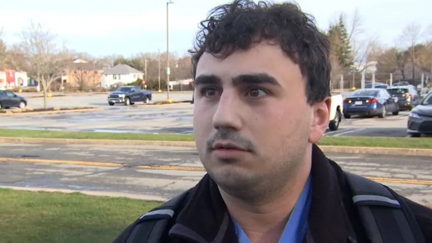
Pickup truck crashes into home, lands on top of cars in Brockton; driver flees
Karen Read
4 hours ago
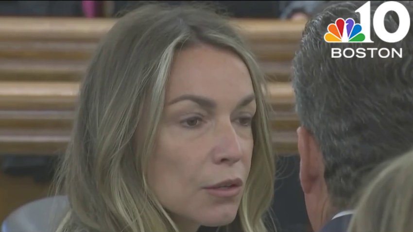
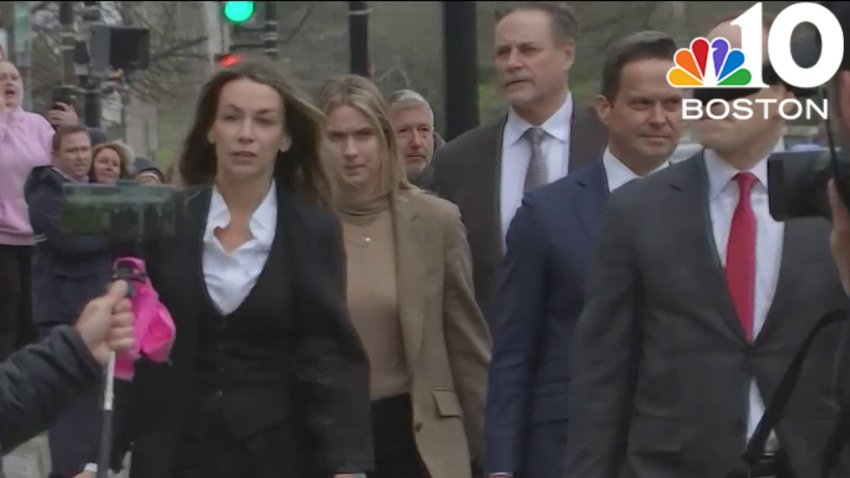
With 4 jurors still to be chosen, selection in Karen Read case continues next week
forecast
1 hour ago
Rain to start the weekend, but it ends with lots of sunshine
Donald Trump
2 hours ago
Selection of alternate jurors resumes Friday in Donald Trump's hush money trial
Beverly
2 hours ago
One person hospitalized after fire in Beverly
Boston Business Journal
3 hours ago
The first apartments at Suffolk Downs can now be rented
Taylor Swift
4 hours ago
‘The Alchemy' lyrics meaning: Is the Taylor Swift song about Travis Kelce?
boston restaurant talk
3 hours ago
Renowned Israeli baker Uri Scheft to open third Bakey location in Newton Centr...
Boston
2 hours ago
Construction has resumed on South Station Tower project after fire
Massachusetts
4 hours ago
Mid-April tax collections up in Mass., but state downplays significance
Local
See all
Formula One
1 hour ago
PHOTOS: Inside Boston's exclusive F1 Arcade Bar
Restaurants
2 hours ago
Wahlburgers at South Bay in Dorchester has apparently closed
John Tomase
3 hours ago
From Maye to Harrison, what Red Sox would do with Patriots' No. 3 pick
Most Read
Restaurants
Wahlburgers at South Bay in Dorchester has apparently closed
Massachusetts
Man asks for ‘Thirty' iced on wife's birthday cake, goes viral for head-scratching result
Taylor Swift
‘The Alchemy' lyrics meaning: Is the Taylor Swift song about Travis Kelce?
Beverly
One person hospitalized after fire in Beverly
Massachusetts
Two 7-Eleven stores robbed at gunpoint on South Shore, police say
Boston
New York Times releases list of the best restaurants in Boston
Boston Business Journal
3 hours ago
The first apartments at Suffolk Downs can now be rented
Taylor Swift
4 hours ago
‘The Alchemy' lyrics meaning: Is the Taylor Swift song about Travis Kelce?
boston restaurant talk
3 hours ago
Renowned Israeli baker Uri Scheft to open third Bakey location in Newton Centr...
Boston
2 hours ago
Construction has resumed on South Station Tower project after fire
Massachusetts
4 hours ago
Mid-April tax collections up in Mass., but state downplays significance
Top Videos
See all
Karen Read Trial
See all
local
6 hours ago
Four more jurors needed for Karen Read murder trial
local
Apr 18
Day 3: Jury selection continues in the Karen Read trial
local
Apr 18
Karen Read trial: Five more jurors need before opening statements
Patriots
See all
Boston Sports Tonight
Apr 18
Breer: Why Pats met with Michael Penix, Drake Maye interest and more
Arbella Early Edition
16 hours ago
Breer: Patriots ‘inquired' about A.J. Brown trade with Eagles
Next Pats Podcast
21 hours ago
Why Spencer Rattler should be on Patriots' radar if they trade down
Hub Today
See all
Health & Wellness
22 hours ago
Age-appropriate skincare for teens and tweens
Paris
Apr 17
Derek's tips and advice for traveling to Paris
France
Apr 17
A delicious lesson in French cuisine
France
Apr 17
Learning about French cheese with Formaggio Kitchen
Hotels
Apr 17
Celebrating in style at the St. Regis Residences
Responds
See all
NBC10 Boston Responds
Apr 17
Solar panel problem resolved by NBC10 Boston
Investigations
See all
nbc10 investigators
Jun 5, 2023
How to submit tips to the NBC10 Investigators
investigations
Apr 11
Ipswich firefighter's overtime pay for hazmat response sparks controversy
To Catch a Contractor
Apr 10
Nurse moonlighting as contractor accused of financially gouging homeowners
Massachusetts
Mar 22
‘R u alive?' Texts show parents' fear in search for daughter who died of overdose
Decision 2024
See all
Joe Biden
20 hours ago
Kennedy family makes ‘crystal clear' its Biden endorsement in attempt to deflate RFK Jr.'s candidacy
Donald Trump
17 hours ago
12 jurors have been picked for Donald Trump's hush money trial; selection of alternates ongoing
Iran
Apr 18
Congress moving swiftly on bipartisan action to punish Iran after revenge attack on Israel
@Issue
See all
@Issue
Apr 14
@Issue: Biden allies hope abortion measures help beat Trump
@Issue
Apr 7
Addressing a mental health crisis in Boston
@Issue
Apr 5
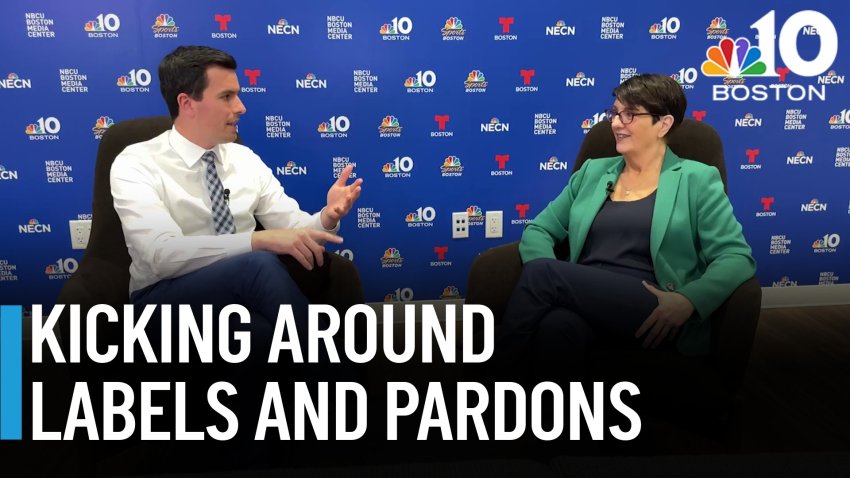
Taking@Issue: No-labels no more in 2024, marijuana pardons, and a soccer stadium debate
U.S. & World
See all
Music & Musicians
36 mins ago
Mandisa, ‘American Idol' singer and Grammy winner, dies at 47
artificial intelligence
38 mins ago
Olympic organizers unveil strategy for using artificial intelligence in sports
LGBTQ
1 hour ago
Biden's new Title IX rules protect LGBTQ+ students, but transgender sports rule still on hold
Tesla
2 hours ago
Tesla recalls Cybertrucks due to faulty pedal that can stick and accelerate unintentionally
Indiana
2 hours ago
Ex-Indiana teacher accused of encouraging classmates to beat up 7-year-old with disabilities
News
Entertainment
Mariska Hargitay helps little girl reunite with mom after she's mistaken for real-life cop
4 hours ago
Taylor Swift shocks fans by dropping second ‘Tortured Poets Department' album
Watch
•
4 hours ago
Prince William shares promise about Kate Middleton amid cancer diagnosis
Watch
•
12 hours ago
Boston Business Journal
Wayfair's first branded store has an opening date
21 hours ago
Get a sneak peek inside F1 Arcade's new Boston location
21 hours ago
Mass General Gets OK to Add Nearly 100 Beds
Apr 18
Boston Restaurant Talk
Owners of Giacomo's and Riccardo's in Boston's North End opening North End Lobster Company
21 hours ago
Here's what will replace Cafe Beirut in Jamaica Plain
22 hours ago
New Greek eatery to open in ormer Out of the Blue space in Somerville's Davis Square
Apr 18
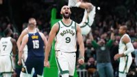
Celtics
Celtics need to make TD Garden a homecourt advantage in 2024 playoffs
Watch
•
19 hours ago
White, Celtics ready to prove they can thrive in playoff crunch time
Watch
•
21 hours ago
‘Mazzulla' docuseries: How C's coach developed his competitive spirit
Watch
•
Apr 17
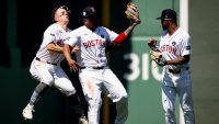
Red Sox
Trying to make sense of a historically bad Red Sox lineup
Watch
•
21 hours ago
There's no defense for how Red Sox keep costing themselves in field
Watch
•
Apr 15
Cora shares good news on Devers, bad news on Whitlock
Watch
•
Apr 17
bruins
Bruins vs. Leafs first-round playoff preview, odds and prediction
Watch
•
2 hours ago
Bruins playoff lineup projection 3.0: McAvoy, Lindholm on top pairing?
Watch
•
4 hours ago
Bruins-Leafs playoff schedule: Dates, times, TV channel for first round
Watch
•
5 hours ago
Close Menu
Search for:
Meet the Team
Local
Weather
School Closings
Weather Alerts
Climate 2023
Investigations
NBC10 Boston Responds
Submit a tip
Video
Health
Traffic
NBC Sports Boston
Sports
Celtics
New England Patriots
Bruins
Red Sox
Entertainment
Hub Today
About NBC10 Boston
Our News Standards
TV Listings
Submit a Tip
Submit a Consumer Complaint
Submit Photos and Video
Newsletters
Download Our Apps
Cozi TV
Follow Us
Facebook
Instagram
TikTok
Contact Us