Skip to content
Main Navigation
Search
Search for:
Local
Weather
Investigations
Videos
Sports
U.S. & World
Traffic
Newsletters
Live TV
Trending
24/7 streaming news
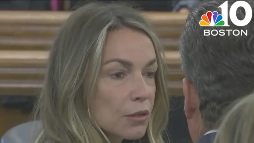
Karen Read trial
'Mazzulla' docuseries
Ana Walshe podcast
Paris Olympics
Kwani Has Questions
@Issue
NBC Sports Boston
Expand
Canton
1 hour ago
Understanding the Karen Read trial: Who killed John O'Keefe?
Weymouth
1 hour ago
Large police presence seen at carnival at Weymouth High School
Brockton
3 hours ago
Pickup truck crashes into home, lands on top of cars in Brockton; driver flees
Donald Trump
3 hours ago
Final jurors seated for Trump's hush money case, with opening statements set for Monda...
Karen Read
4 hours ago
Why is Karen Read's defense team concerned with the jury box?
Karen Read
14 hours ago
With 4 jurors still to be chosen, selection in Karen Read case continues next week
Taylor Swift
2 hours ago
Taylor Swift's ‘The Tortured Poets Department' is here. Is it poetry? This is what exp...
Boston
3 hours ago
Boston businesses excited for Celtics' and Bruins' playoff runs
food & drink
7 hours ago
New beer hall is slated to open in Medford this summer
New Hampshire
8 hours ago
NH school employee charged with possession of child sex abuse images
Local
See all
46 mins ago
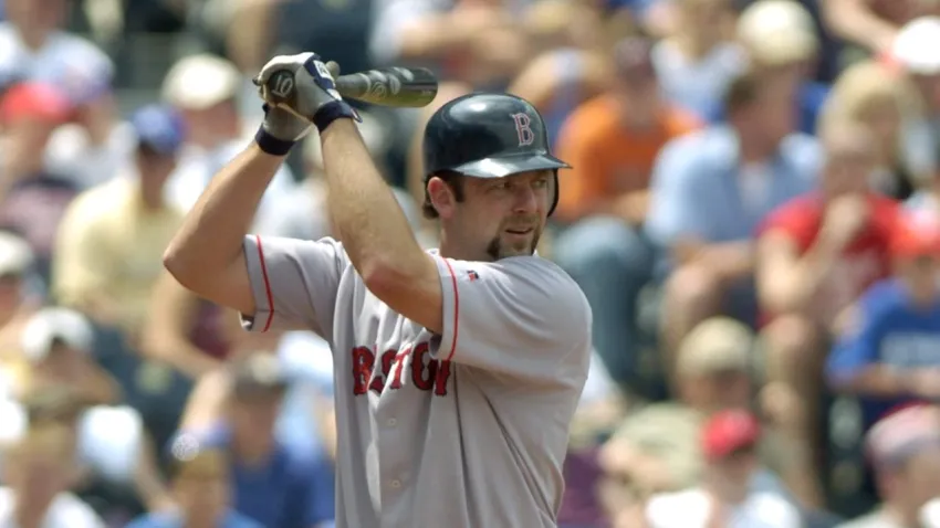
2004 World Series champion Dave McCarty dies at 54
Boston Celtics
51 mins ago
Celtics vs. Heat first-round playoff preview, odds and prediction
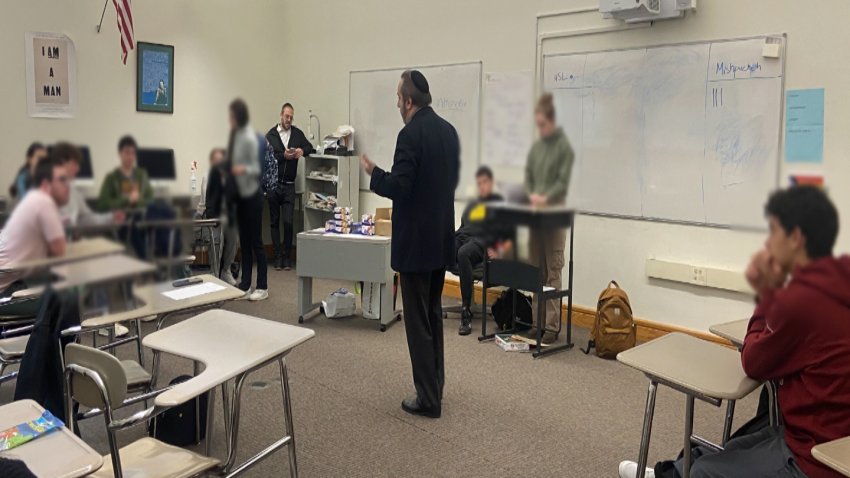
antisemitism
5 hours ago
Creating safe spaces for Jewish teenagers amid rising antisemitism reports
Most Read
Weymouth
Large police presence seen at carnival at Weymouth High School
Restaurants
Wahlburgers at South Bay in Dorchester has apparently closed
Canton
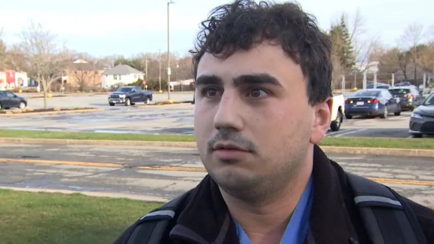
Understanding the Karen Read trial: Who killed John O'Keefe?
Massachusetts
Man asks for ‘Thirty' iced on wife's birthday cake, goes viral for head-scratching result
Boston
New York Times releases list of the best restaurants in Boston
Massachusetts
Two 7-Eleven stores robbed at gunpoint on South Shore, police say
Karen Read
14 hours ago
With 4 jurors still to be chosen, selection in Karen Read case continues next week
Taylor Swift
2 hours ago
Taylor Swift's ‘The Tortured Poets Department' is here. Is it poetry? This is what exp...
Boston
3 hours ago
Boston businesses excited for Celtics' and Bruins' playoff runs
food & drink
7 hours ago
New beer hall is slated to open in Medford this summer
New Hampshire
8 hours ago
NH school employee charged with possession of child sex abuse images
Top Videos
See all
Karen Read Trial
See all
local
16 hours ago
Four more jurors needed for Karen Read murder trial
local
Apr 18
Day 3: Jury selection continues in the Karen Read trial
local
Apr 18
Karen Read trial: Five more jurors need before opening statements
Patriots
See all
Next Pats Podcast
7 hours ago
Scouting the best WR options for Patriots at No. 34 overall
Boston Sports Tonight
Apr 18
Breer: Why Pats met with Michael Penix, Drake Maye interest and more
John Tomase
13 hours ago
From Maye to Harrison, what Red Sox would do with Patriots' No. 3 pick
Hub Today
See all
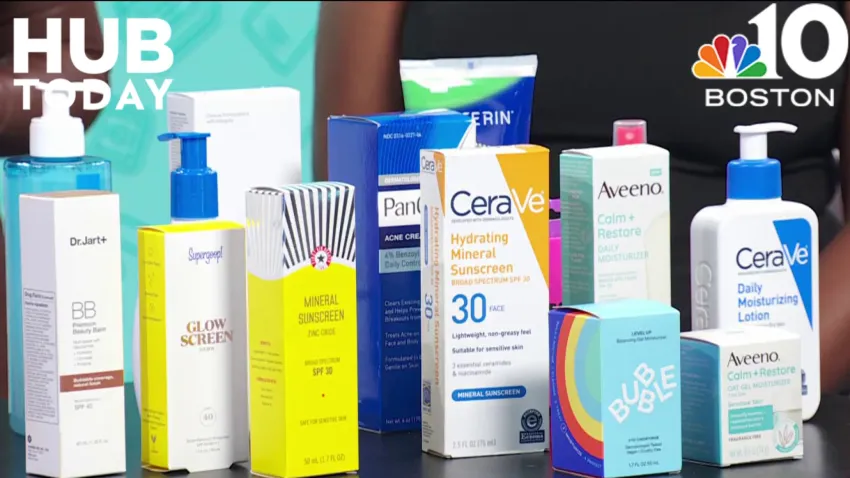
Health & Wellness
Apr 18
Age-appropriate skincare for teens and tweens
Paris
Apr 17
Derek's tips and advice for traveling to Paris
France
Apr 17
A delicious lesson in French cuisine
France
Apr 17
Learning about French cheese with Formaggio Kitchen
Hotels
Apr 17
Celebrating in style at the St. Regis Residences
Responds
See all
NBC10 Boston Responds
Apr 17
Solar panel problem resolved by NBC10 Boston
Investigations
See all
nbc10 investigators
Jun 5, 2023
How to submit tips to the NBC10 Investigators
investigations
Apr 11
Ipswich firefighter's overtime pay for hazmat response sparks controversy
To Catch a Contractor
Apr 10
Nurse moonlighting as contractor accused of financially gouging homeowners
Massachusetts
Mar 22
‘R u alive?' Texts show parents' fear in search for daughter who died of overdose
Decision 2024
See all
capitol riot
5 hours ago
Proud Boys group leader sentenced to over 5 years in prison for attacking police during Capitol riot
Ukraine
6 hours ago
House tees up votes on $95 billion in foreign aid bills | Analysis
politics
7 hours ago
FULL VIDEO: Checking in with Kristen Welker on the big news stories this week
@Issue
See all
@Issue
Apr 14
@Issue: Biden allies hope abortion measures help beat Trump
@Issue
Apr 7
Addressing a mental health crisis in Boston
@Issue
Apr 5
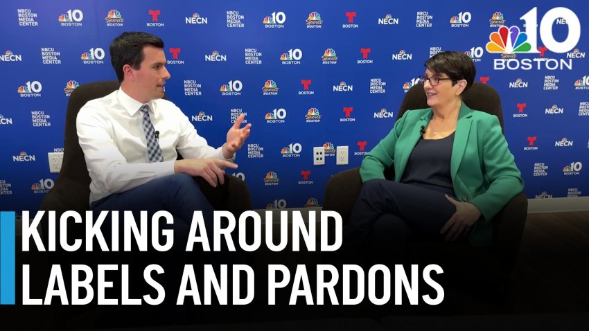
Taking@Issue: No-labels no more in 2024, marijuana pardons, and a soccer stadium debate
U.S. & World
See all
Economy
3 hours ago
Car insurance rates are nuts right now. Here's how to lower your bill when cash is tight
Colleges & Universities
1 hour ago
USC cancels commencement speakers amid criticism over decision to stop valedictorian's speech
food & drink
3 hours ago
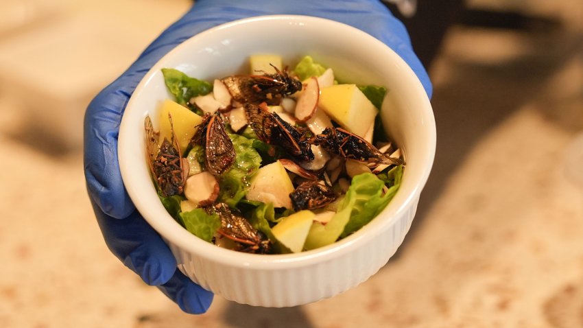
Would you eat a cicada salad? This New Orleans café has the insect-based dish on its menu
air travel
5 hours ago
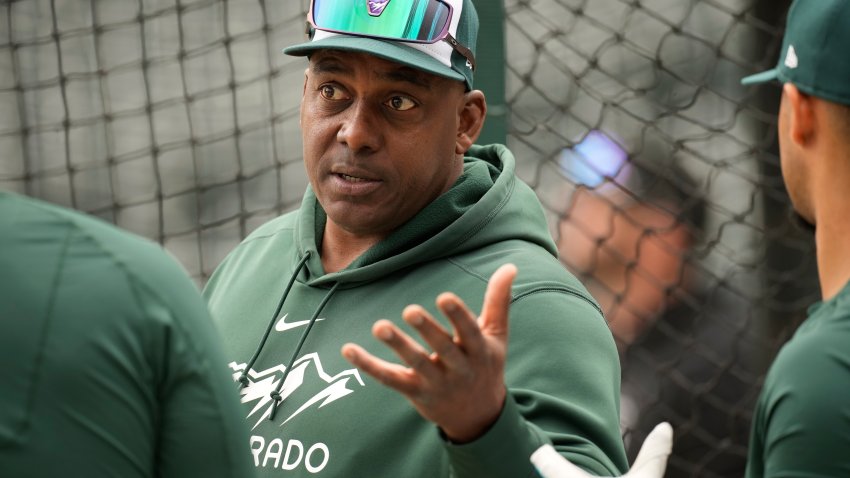
Federal officials are investigating a Rockies coach's cockpit visit during a United flight
Donald Trump
48 mins ago
Man sets himself on fire outside Manhattan courthouse where Trump faces hush money case
News
Entertainment
Blake Lively, Donna Kelce and more support Taylor Swift's new album
3 mins ago
Morgan Wallen addresses arrest over alleged chair-throwing incident
Watch
•
27 mins ago
Untangling Taylor Swift's goodbye to Joe Alwyn in ‘So Long, London'
6 hours ago
Boston Business Journal
The first apartments at Suffolk Downs can now be rented
13 hours ago
Wayfair's first branded store has an opening date
Apr 18
Get a sneak peek inside F1 Arcade's new Boston location
Apr 18
Boston Restaurant Talk
Wahlburgers at South Bay in Dorchester has apparently closed
12 hours ago
Renowned Israeli baker Uri Scheft to open third Bakey location in Newton Centre
13 hours ago
Owners of Giacomo's and Riccardo's in Boston's North End opening North End Lobster Company
Apr 18
Celtics
2024 NBA playoff simulation: Celtics' title quest has dramatic ending
Watch
•
7 hours ago
Celtics need to make TD Garden a homecourt advantage in 2024 playoffs
Watch
•
Apr 18
Mazzulla's take on revolving doors sums up his unique mindset
Watch
•
7 hours ago
Red Sox
Trying to make sense of a historically bad Red Sox lineup
Watch
•
Apr 18
There's no defense for how Red Sox keep costing themselves in field
Watch
•
Apr 15
Cora shares good news on Devers, bad news on Whitlock
Watch
•
Apr 17
bruins
Bruins vs. Leafs first-round playoff preview, odds and prediction
Watch
•
12 hours ago
Bruins playoff lineup projection 3.0: McAvoy, Lindholm on top pairing?
Watch
•
14 hours ago
Bruins-Leafs playoff schedule: Dates, times, TV channel for first round
Watch
•
15 hours ago
Close Menu
Search for:
Meet the Team
Local
Weather
School Closings
Weather Alerts
Climate 2023
Investigations
NBC10 Boston Responds
Submit a tip
Video
Health
Traffic
NBC Sports Boston
Sports
Celtics
New England Patriots
Bruins
Red Sox
Entertainment
Hub Today
About NBC10 Boston
Our News Standards
TV Listings
Submit a Tip
Submit a Consumer Complaint
Submit Photos and Video
Newsletters
Download Our Apps
Cozi TV
Follow Us
Facebook
Instagram
TikTok
Contact Us