Skip to content
Main Navigation
Search
Search for:
Local
Weather
Investigations
Videos
Sports
U.S. & World
Traffic
Newsletters
Live TV
Trending
24/7 streaming news
Trump trial
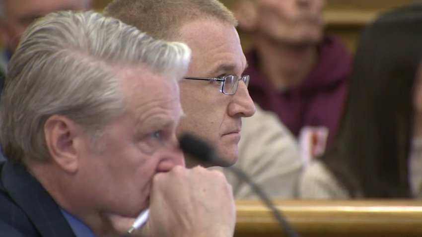
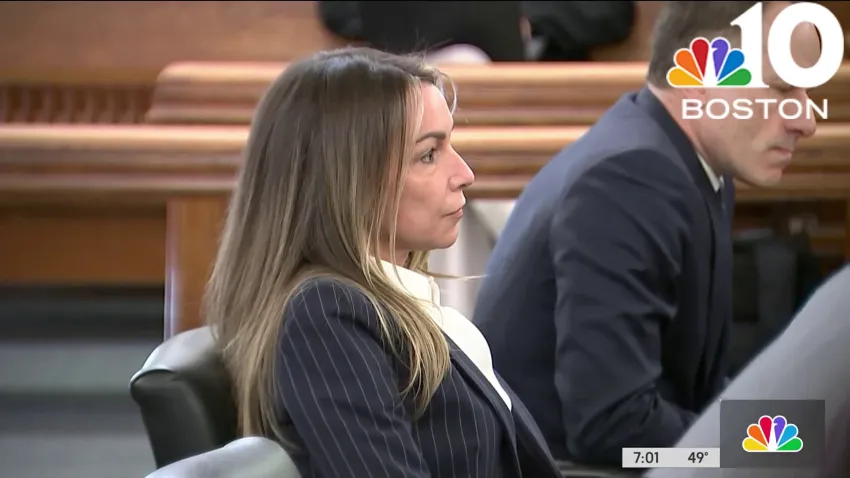
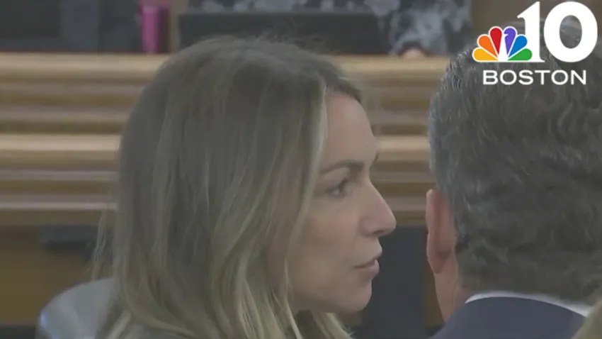
Karen Read trial
'Mazzulla' docuseries
Ana Walshe podcast
Paris Olympics
Kwani Has Questions
@Issue
NBC Sports Boston
Expand
travel
3 hours ago
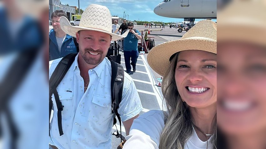
US tourists face 12 years in prison for accidentally bringing ammo to Caribbean island
Massachusetts
12 hours ago
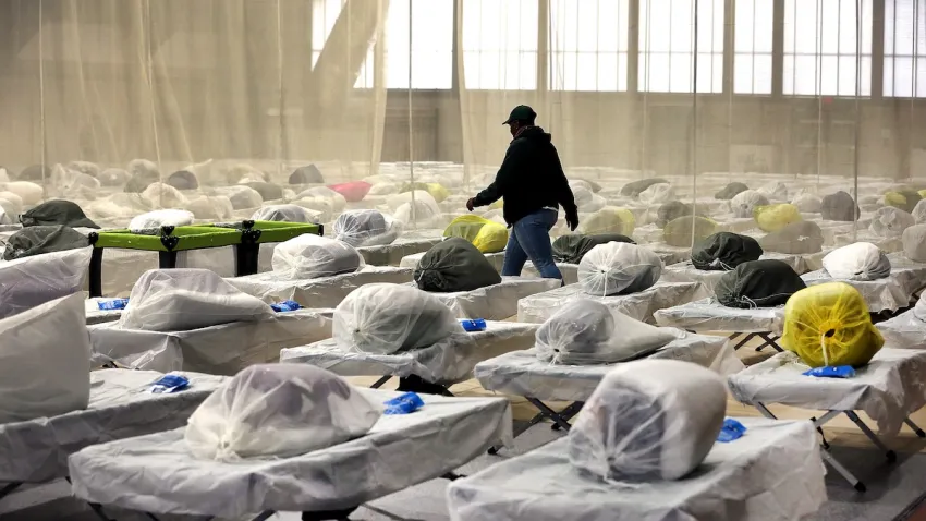
Homeless shelters in Mass. raise concerns as lawmakers consider historic limit to family stays
Israel-Hamas War
1 hour ago
Student protests divide college campuses as violence in Gaza persists
Congress
14 mins ago
Senate overwhelmingly passes aid for Ukraine, Israel and Taiwan with big bipartisan vo...
Cape Cod
1 hour ago
Cape Cod woman's death sparks battle over whether her horse should live
Nick Goss
14 hours ago
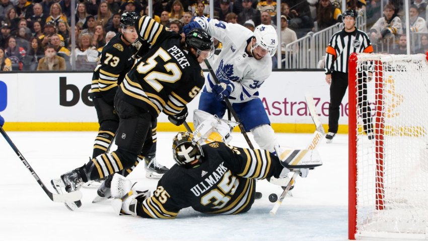
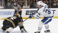
Four areas Bruins must improve entering pivotal Game 3 vs. Maple Leafs
Israel-Hamas War
2 hours ago
Protests roiling US colleges escalate with arrests, new encampments and closures
indecent assault
2 hours ago
Unlicensed chiropractor denies allegations he assaulted 2 women at his Somervi...
New Hampshire
2 hours ago
Manchester police officer arrested on domestic violence charges
Framingham
8 hours ago
Man found dead behind Framingham shopping center identified as restaurant work...
Local
See all
John Tomase
4 hours ago
With shades of Ellsbury, Casas injury could be a killer for Red Sox
Boston
5 hours ago
Serious crash on Mass. Pike in Brighton backs up highway
car crash
2 hours ago
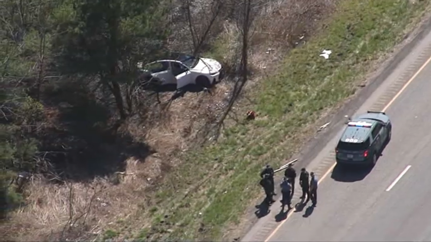
3 people, including 15-year-old driver, charged in police chase that ended in crash on...
Most Read
travel
US tourists face 12 years in prison for accidentally bringing ammo to Caribbean island
news
The income a family of 4 needs to live comfortably in every U.S. state
Cape Cod
Cape Cod woman's death sparks battle over whether her horse should live
Boston
Five arrested and charged with drug trafficking in Boston
Boston
Here's when to see Tuesday night's full pink moon
Boston
Serious crash on Mass. Pike in Brighton backs up highway
Nick Goss
14 hours ago
Four areas Bruins must improve entering pivotal Game 3 vs. Maple Leafs
Israel-Hamas War
2 hours ago
Protests roiling US colleges escalate with arrests, new encampments and closures
indecent assault
2 hours ago
Unlicensed chiropractor denies allegations he assaulted 2 women at his Somervi...
New Hampshire
2 hours ago
Manchester police officer arrested on domestic violence charges
Framingham
8 hours ago
Man found dead behind Framingham shopping center identified as restaurant work...
Top Videos
See all
Karen Read Trial
See all
Dedham
3 hours ago
After court appearance, ‘Turtleboy' says case against him ‘can't succeed on the merits'
Karen Read
Apr 22
Discussion and analysis as jury selection continues in Karen Read trial
local
Apr 22
Karen Read trial: Jury selection continues Monday
Patriots
See all
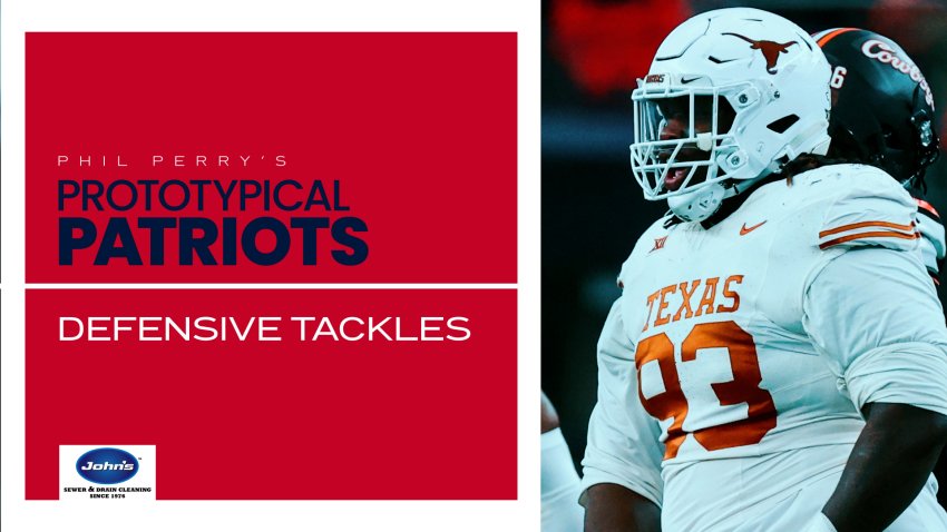
Phil Perry
11 hours ago
Prototypical Patriots: Defensive tackle fits in 2024 draft class
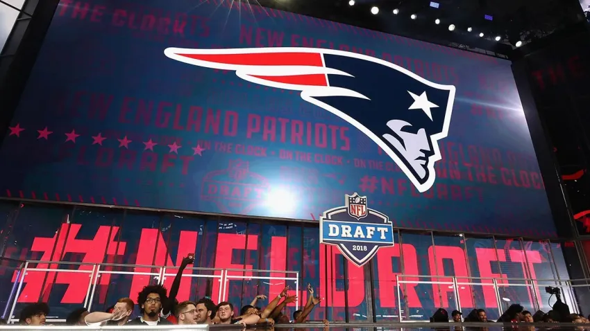
New England Patriots
5 hours ago
What will Patriots do with No. 3 pick? Tracking the latest reports
Sports Sunday
Apr 22
Breer: Why Patriots are ‘unlikely' to trade No. 3 pick in draft
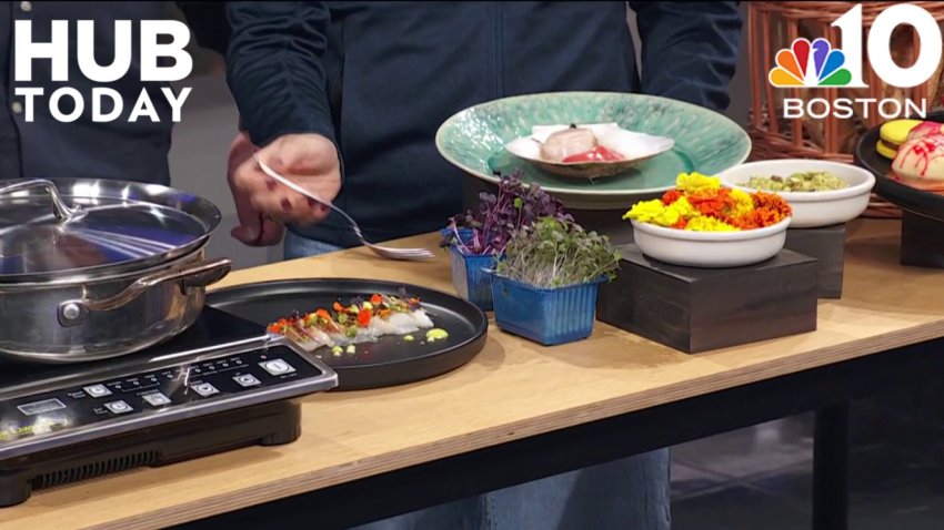
Hub Today
See all
Sponsored Content
5 hours ago
Rombauer Vineyards celebrates the joy of wine
Health & Wellness
Apr 18
Age-appropriate skincare for teens and tweens
Paris
Apr 17
Derek's tips and advice for traveling to Paris
France
Apr 17
A delicious lesson in French cuisine
France
Apr 17
Learning about French cheese with Formaggio Kitchen
Responds
See all
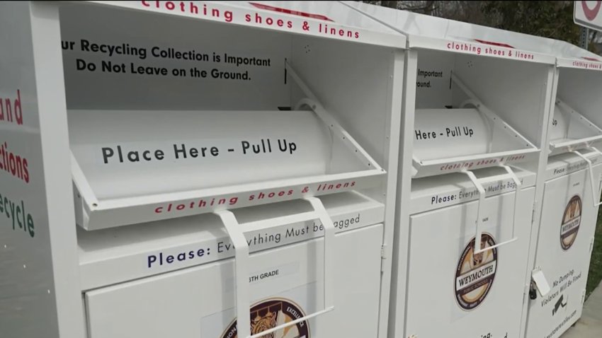
Earth Day
Apr 22
Green ways to get rid of your unwanted clothes and textiles
Investigations
See all
nbc10 investigators
Jun 5, 2023
How to submit tips to the NBC10 Investigators
investigations
Apr 11
Ipswich firefighter's overtime pay for hazmat response sparks controversy
To Catch a Contractor
Apr 10
Nurse moonlighting as contractor accused of financially gouging homeowners
Massachusetts
Mar 22
‘R u alive?' Texts show parents' fear in search for daughter who died of overdose
Decision 2024
See all
Tennessee
4 hours ago
Tennessee lawmakers pass bill to allow armed teachers, a year after deadly Nashville shooting
Donald Trump
6 hours ago
National Enquirer made up the story about Ted Cruz's father and Lee Harvey Oswald, former publisher says
Pennsylvania
7 hours ago
What to watch for in Tuesday's Pennsylvania primaries
@Issue
See all
@Issue
Apr 21
@Issue: Trump “hush money” trial underway
@Issue
Apr 14
@Issue: Biden allies hope abortion measures help beat Trump
@Issue
Apr 7
Addressing a mental health crisis in Boston
U.S. & World
See all
TikTok
7 mins ago
Senate passes bill forcing TikTok's parent company to sell or face ban
Health
54 mins ago
Bird flu virus found in pasteurized milk, though officials maintain supply is safe
decision 2024
2 hours ago
Former Rep. George Santos ends comeback bid for Congress after raising no money
Military
3 hours ago
Korean War veteran from Minnesota will finally get his Purple Heart medal, 73 years late
Crime and Courts
4 hours ago
Someone fishing with magnet reels in new evidence in Georgia couple's slaying
News
Entertainment
Megan Thee Stallion accused of forcing a cameraman to watch her have sex
37 mins ago
WNBA star Kelsey Plum and Giants' Darren Waller file for divorce after 1 year of marriage
5 hours ago
Fan-favorite cookie chain Crumbl is now offering mini versions of its treats
6 hours ago
Boston Business Journal
The first apartments at Suffolk Downs can now be rented
Apr 19
Wayfair's first branded store has an opening date
Apr 18
Get a sneak peek inside F1 Arcade's new Boston location
Apr 18
Boston Restaurant Talk
Providence restaurant expanding into Cambridge: report
Apr 22
Night Shift Brewing to open pop-up beer garden in downtown Boston
Apr 21
Wahlburgers at South Bay in Dorchester has apparently closed
Apr 19
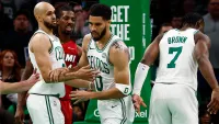
Celtics
Celtics' handling of Game 1 dust-up with Heat sends perfect message
Watch
•
Apr 22
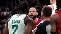
What Jaylen Brown told Caleb Martin after hard foul on Jayson Tatum
Watch
•
6 hours ago
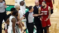
Caleb Martin responds to critics after hard foul on Jayson Tatum
Watch
•
7 hours ago
Red Sox
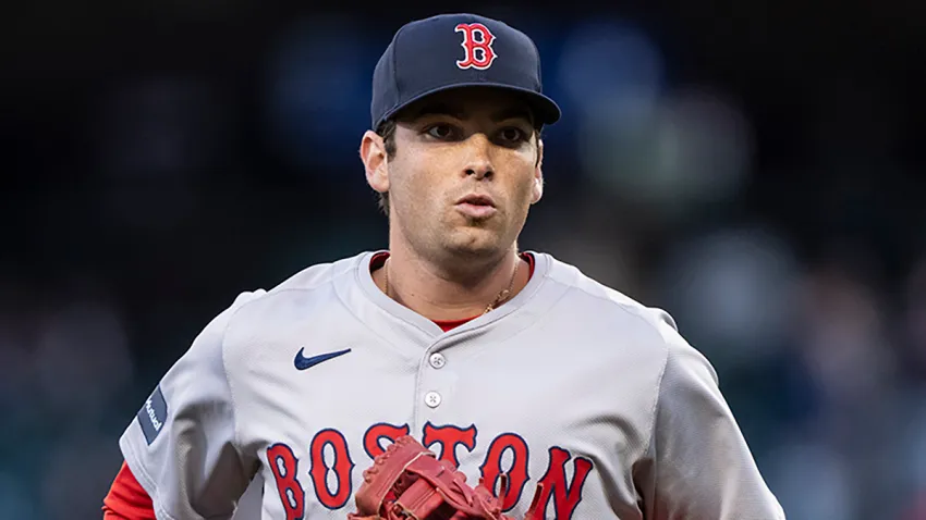
Kutter Crawford has come out of nowhere to become MLB's best pitcher
Watch
•
10 hours ago
In praise of gritty Red Sox, who keep surprising amid myriad injuries
Watch
•
Apr 22
Trying to make sense of a historically bad Red Sox lineup
Watch
•
Apr 18
bruins
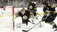
‘Terrific' Ullmark was Bruins' best player in Game 2 loss to Leafs
Watch
•
14 hours ago
Game 2 takeaways: Matthews shines, Leafs beat Bruins to even series
Watch
•
14 hours ago
Watch Pavel Zacha set up David Pastrnak goal with amazing no-look pass
Watch
•
Apr 22
Close Menu
Search for:
Meet the Team
Local
Weather
School Closings
Weather Alerts
Climate 2023
Investigations
NBC10 Boston Responds
Submit a tip
Video
Health
Traffic
NBC Sports Boston
Sports
Celtics
New England Patriots
Bruins
Red Sox
Entertainment
Hub Today
About NBC10 Boston
Our News Standards
TV Listings
Submit a Tip
Submit a Consumer Complaint
Submit Photos and Video
Newsletters
Download Our Apps
Cozi TV
Follow Us
Facebook
Instagram
TikTok
Contact Us
 Contact Us