Over the coming days, waves of clouds will fill the sky of New England from time to time, varying in both altitude and amount of coverage, but all caused by the same process: milder air moving into New England, colliding with exiting chill.
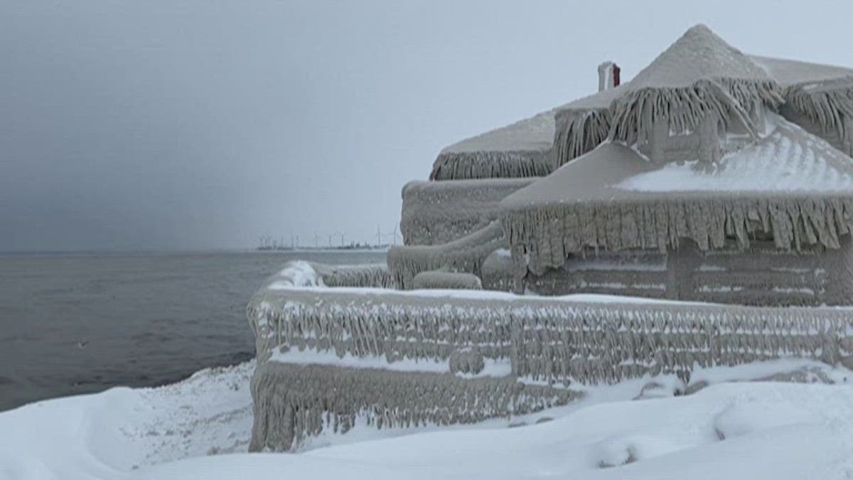
Wednesday is a great example: clouds will fill the sky for most of the day across most of New England, with snow showers from time to time across northern New England. Those areas could accumulate a coating to 1 inch of fresh snow.
Farther south, central and southern New England sit closer to an area of high pressure, or fair weather, anchored south of New England along the East Coast, keeping the air dry enough for little more than an isolated flurry.
Cloud cover will remain variable Wednesday overnight, keeping lows around 30 degrees south and in the 20s north, with a quiet wind, then again Thursday morning.
Get Boston local news, weather forecasts, lifestyle and entertainment stories to your inbox. Sign up for NBC Boston’s newsletters.
With each round of clouds representing a new push of milder air, it’s no surprise our Thursday forecast is for high temperatures well into the 40s regionwide, except for the Crown of Maine, which sits just north of the milder air. Up there, steady snow much of Thursday will accumulate two to four inches.
More rounds of variable clouds are expected Thursday night and Friday as the atmosphere continues to warm in response to a steady southwest breeze, with daytime high temperatures Friday reaching or exceeding 50 degrees for some and set to jump into the 50s for most on both weekend days.
All of this warmth comes ahead of two follow-up storms in the central United States that march northeast across the Great Lakes and into Ontario, with a counter-clockwise flow of wind around the center of each storm promoting a southwest breeze in New England to feed mild air north and, eventually, following up with increasing moisture for raindrops.
The rain is slated to begin late Saturday, arriving from southwest to northeast during the afternoon and early evening, though the far northern mountains may see a separate round of isolated showers from time to time during the day. That said, most of New England salvages a good part of Saturday as dry, albeit under cloudy skies with temperatures into the 50s.
Rain should continue through New Year’s Eve, with rain regionwide in New England at midnight, and carry into Sunday morning, with rain, not snow, even in the northern ski areas.
New Year’s Day starts with rain but should dry during the afternoon in the southern half of New England, with showers lasting longer in northern New England and perhaps ending as a few snow showers in the higher summits. If current forecast timing holds – and it’s always a bit tenuous when looking for timing to the hour days out – the rain should stop at Gillette Stadium before the Patriots take to the field against the Dolphins with temperatures in the 50s.
Regardless, the Bruins’ NHL Winter Classic game at Fenway Monday looks fair, dry and mild, with highs near 50 degrees!
None of these temperatures are records – those are in the 60s – but certainly are far above our normal highs in the upper 30s.
This warmer-than-normal pattern will persist through next week, with more mild showers and temperatures around 60° in our First Alert 10-day forecast by midweek next week.