The worst of the storm is hitting this morning, in terms of wind and rain. The second phase of the storm is no picnic either, as the cold air blasts its way into New England.
See school closings and severe weather alerts in your area.
First up, the rain. Torrents of it are falling this morning as the winds howl from the southeast.
With the rain is wind. Gusts could be up to (and a bit over) 60 along the coast. Expect 40-50 elsewhere in this burst.
Get Boston local news, weather forecasts, lifestyle and entertainment stories to your inbox. Sign up for NBC Boston’s newsletters.
A rare hurricane-force wind warning was issued along the southeastern coast of Maine, the National Weather Service said.
The rain will taper off mid-morning, then we’ll have a lull or pause in the wind and rain.
We’ll start it up again by early afternoon with a line of heavy rain and strong wind. This will be much quicker, and after it passes, the cold pours in.
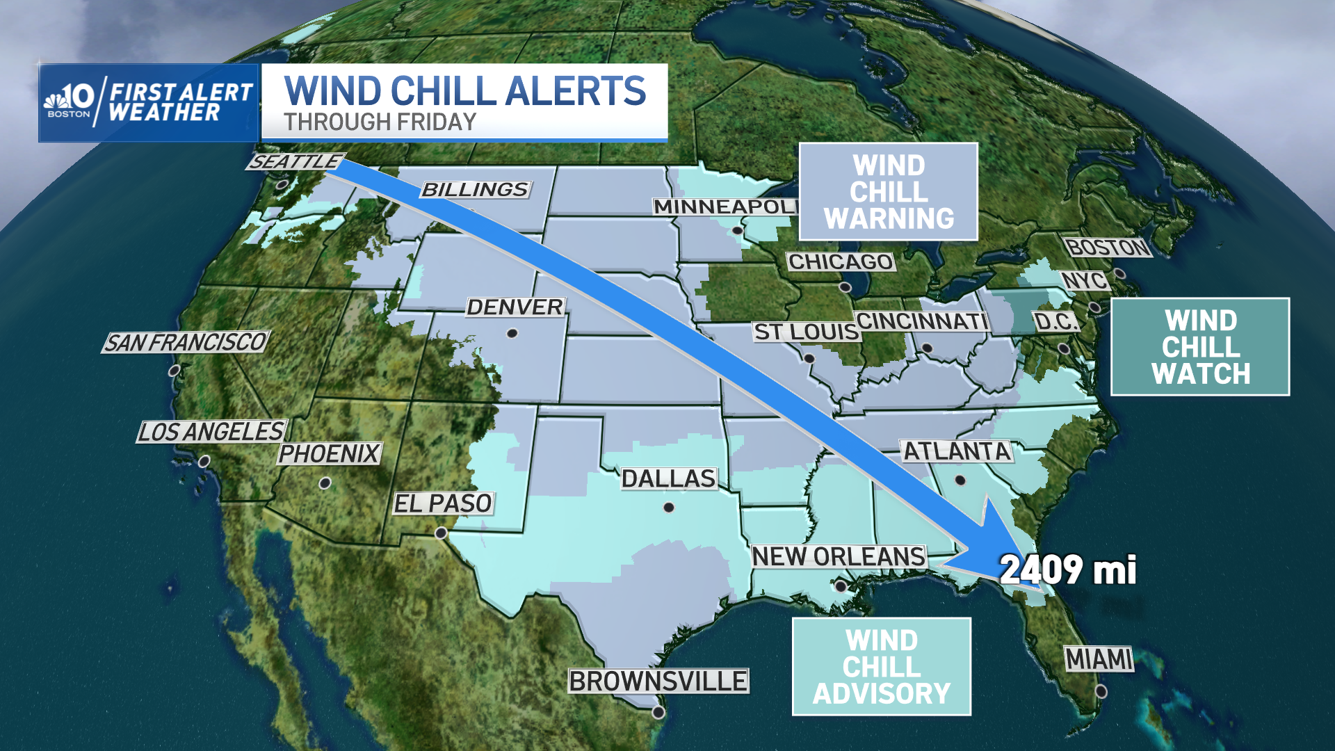
This is the same cold air that’s been sequestered in the Plains since last weekend that finally broke loose with this immense storm. It’s this cold that will send our temps spiraling downward after a very mild morning.
The debate has raged about whether we’ll cool down and freeze the roads before they have a chance to dry with the gusty wind. I don’t think it’s as much of a horse race as many think.
The cold has been underestimated (in speed and intensity) by the guidance in the last two days. That means it’s likely to rush in sooner and drop the temps faster.
That not to say we’ll go to glaze ice right away. Some spots will be able to dry enough that they won’t be slick, others may see some slick spots, but rest assured, they will all be treated ASAP with these cold headlines.
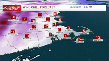
Winds continue through Saturday with gusts of nearly 40 at times. The wind chill will remain in the single digits and low teens.
Less wind for Christmas, but still cold. Ample sun and dry roads both days.
We’re on-air, online and on social covering the storm.
Be safe and Happy Holidays!