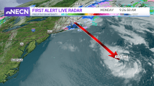
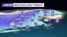
Areas of snow and wintry mix continue to fall across parts of New England Monday as a distant storm wiggles well southeast of the region. In fact, the storm center itself it nearly 500 miles away – but it’s impressive!
Satellite imagery clearly shows this area of low pressure, with an eye feature spinning over the ocean.
The storm will continue to strengthen and move into eastern Nova Scotia by pre-dawn Tuesday. This primary low will continue to lose its grip on us, but a secondary, weaker low will work into the Gulf of Maine through Monday afternoon, bringing more wintry precipitation to parts of the region.
Get Boston local news, weather forecasts, lifestyle and entertainment stories to your inbox. Sign up for NBC Boston’s newsletters.
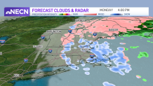
You may have noticed that the precipitation is coming in waves and bands, rather than a big organized area, as it rotates in from northeast to southwest.
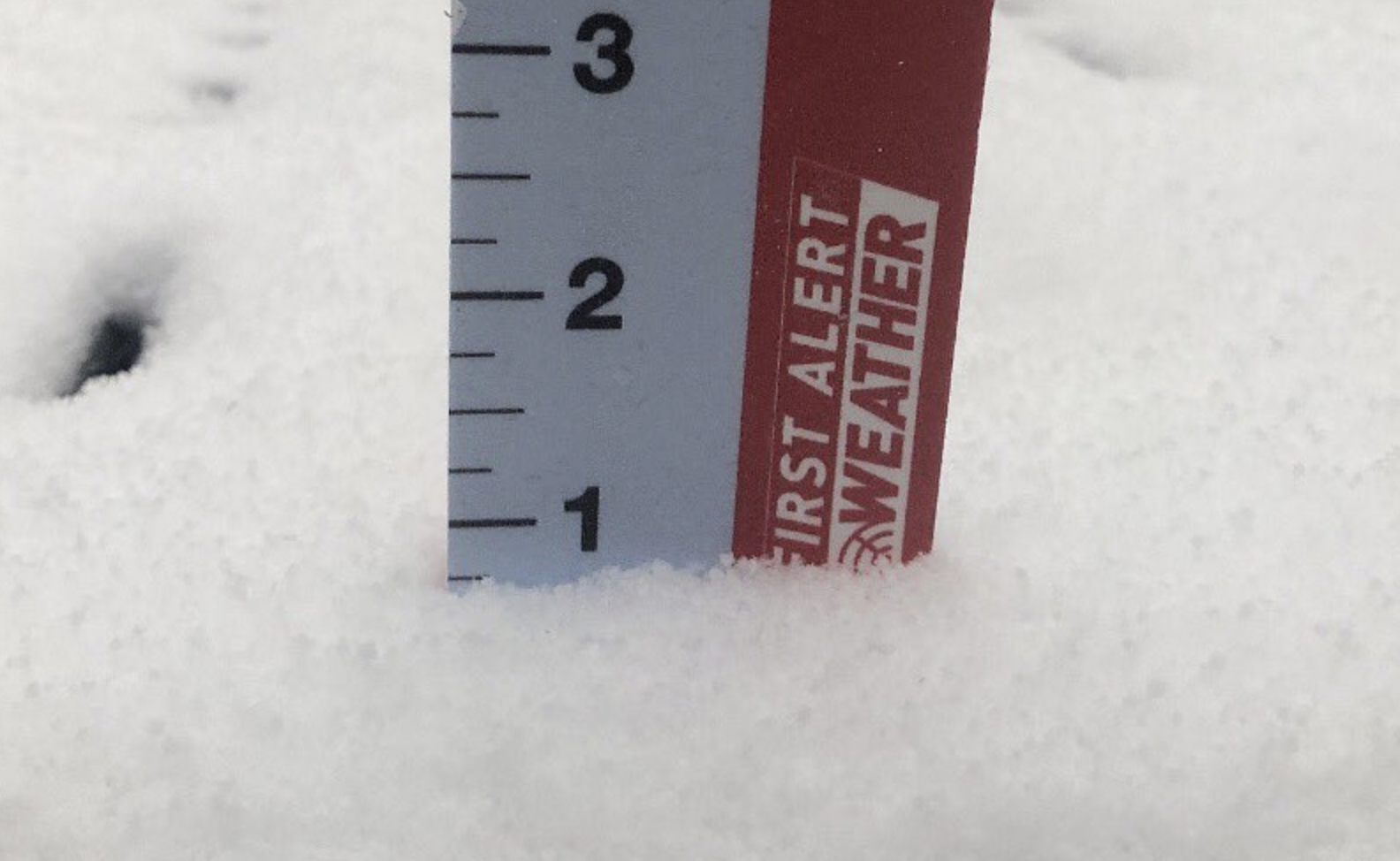
So for the remainder of the afternoon, areas of snow will back westward into central and southern New England again, dropping an additional coating to 1 inch (isolated 2 inches) in spots before breaking apart and tapering off during the early evening.
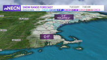
Northern and central Maine will see areas of snow and sleet adding up to 2-4 inches, with isolated higher amounts. Isolated outages may result in eastern and northern portions of the Pine Tree state.
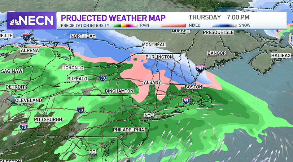
Meanwhile, a warming trend begins Tuesday and continues through midweek. Our next storm system arrives later Thursday and lingers into Friday with a rain/snow line likely in central or northern New England.
My early call on the weekend is that Saturday is the pick, with brighter skies and highs near 40. By Sunday, our active pattern brings yet another chance of rain and snow that bears watching and will likely linger into Monday of next week.