
Our weather pattern is much more winter-like as we wrap up our last few days of meteorological winter. Meteorological spring begins on March 1, and some would argue that it feels spring-ish by next Wednesday with temps in the 40s — and more spring snow systems.
Gusty Winds and Falling Temperatures in New England
First, as we head into the weekend, our temperatures continue to fall on this Friday. A gusty west wind will be up to 40 mph in parts of higher terrain areas. And in those spots — the Berkshires, Worcester Hills — we picked up some ice accumulation from the last 24 hours.
Get Boston local news, weather forecasts, lifestyle and entertainment stories to your inbox. Sign up for NBC Boston’s newsletters.
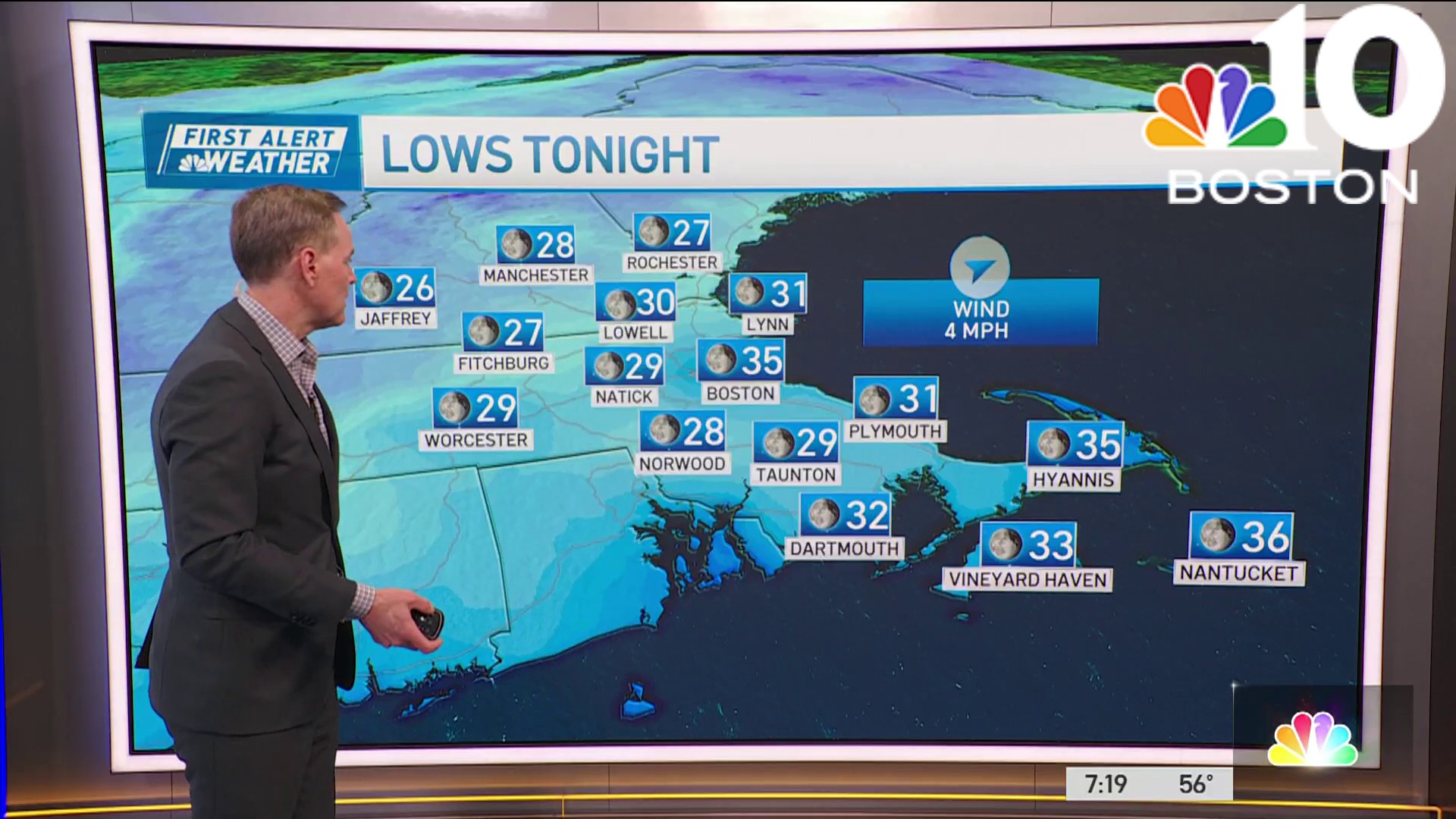
This means some isolated areas of damage or outages may occur. Winds will be around 30 mph around eastern Massachusetts and then the wind subsides a bit after sunset. During the day, our “feels like” temps will be in the teens and temps fall. Overnight we drop to the single digits and teens south. Wind chills will be below zero for Saturday morning.
Chance of Flurries Over the Weekend
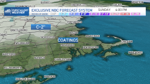
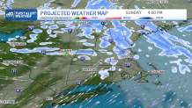
Highs on Saturday will stay in the mid 20s and teens up north. A weak system will give us a chance for some flurries in the afternoon with a mix of clouds and sun. On Sunday our temps return to more normal, in the upper 30s. Another weak system brings in scattered snow showers and this time scattered coatings to 2 inches of snow will be possible for all of New England. Higher elevations on the higher end of the snow range.
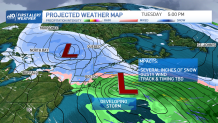
Several Inches of Snow Possible Next Week
Monday starts off dry with temps in the mid 30s and increasing clouds. A low pressure system heads in from the Great Lakes late overnight and into Tuesday morning. As it moves far north of New England, a coastal low develops to our south. This means we have the chance to see several inches of snow! Or rain. It all depends on that track of the coastal low.
Plus, wind gusts could be as high as 50 mph at the coast, from the east northeast on Tuesday. Tides are running astronomically low, but there still could be some issues with increased wave heights. Stay tuned to updates on this storm track and timing. Either way, we do have a First Alert day for Tuesday.
More mild temps head in for midweek and beyond, with highs returning to the low to mid 40s. Plus an elongated storm system sets up just south of New England for the end of next week and that means another chance for a wintry mix and repeated chance for precipitation Thursday through Saturday.
Be prepared for your day and week ahead. Sign up for our weather newsletter.
