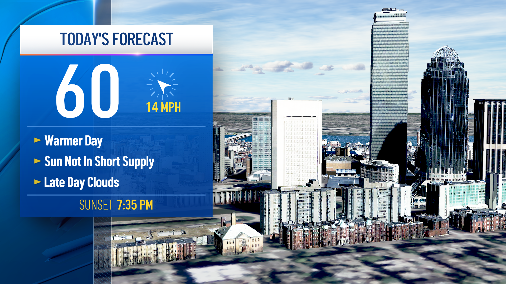
An absolutely stunning day of sunshine and dry air will make for wonderful spring weather in New England with high temperatures in the 60s, but there are some fairly typical dry spring weather drawbacks to be aware of: high pollen count, very high brush fire danger and a high UV index.
The high pollen count now consists largely of maple, juniper and poplar, with maple leading the way in prompting allergic response from those who suffer from seasonal allergies – making both those suffering and those around them a bit nervous with so much attention to any symptoms of unwell folks are feeling, but keep in mind ‘tis the season for allergic reactions.
With our spring sun getting stronger by the day, the ultraviolet index now is approaching high, and with limited sunshine lately outside of Monday and today, most of our skin isn’t used to this much of the sun’s energy and getting a sunburn can weaken the immune system, so sunblock is necessary for all members of the family spending time outside.
Although spring brings high brush fire danger at times owing to no leaves on the trees yet, dry recent weather and dry, dead brush on the ground from last year, “very high” brush fire danger days are more rare – about a handful per year and today is one of them.
Today isn’t the day for burning brush, and even carelessly tossed cigarettes can start brush fires during dry conditions like this. Showers will decrease both the pollen count and the brush fire danger Wednesday morning, and should even mix with wet snowflakes on the northern edge of the precipitation from southern Vermont to the Monadnock Region of New Hampshire to north-central and northwest Massachusetts with little falling farther north and about one to two tenths of an inch of morning plain rain showers elsewhere in southern New England.
Wednesday afternoon should bring emerging sunshine but there’s no question a northeast wind both off of the ocean and carrying cooler air from Canada will make for a very different feeling day with highs in the 40s to around 50 degrees.
Thursday starts dry, but afternoon rain moves in for southern New England, likely to be wet snow and rain in northern New England that will trend to all snow for interior northern New England Thursday night into Friday, with a major winter storm of 6 to 12 inches of heavy, wet snow and strong wind coupling for a swath of power outages for interior central, northern and eastern Maine.
Weather Stories
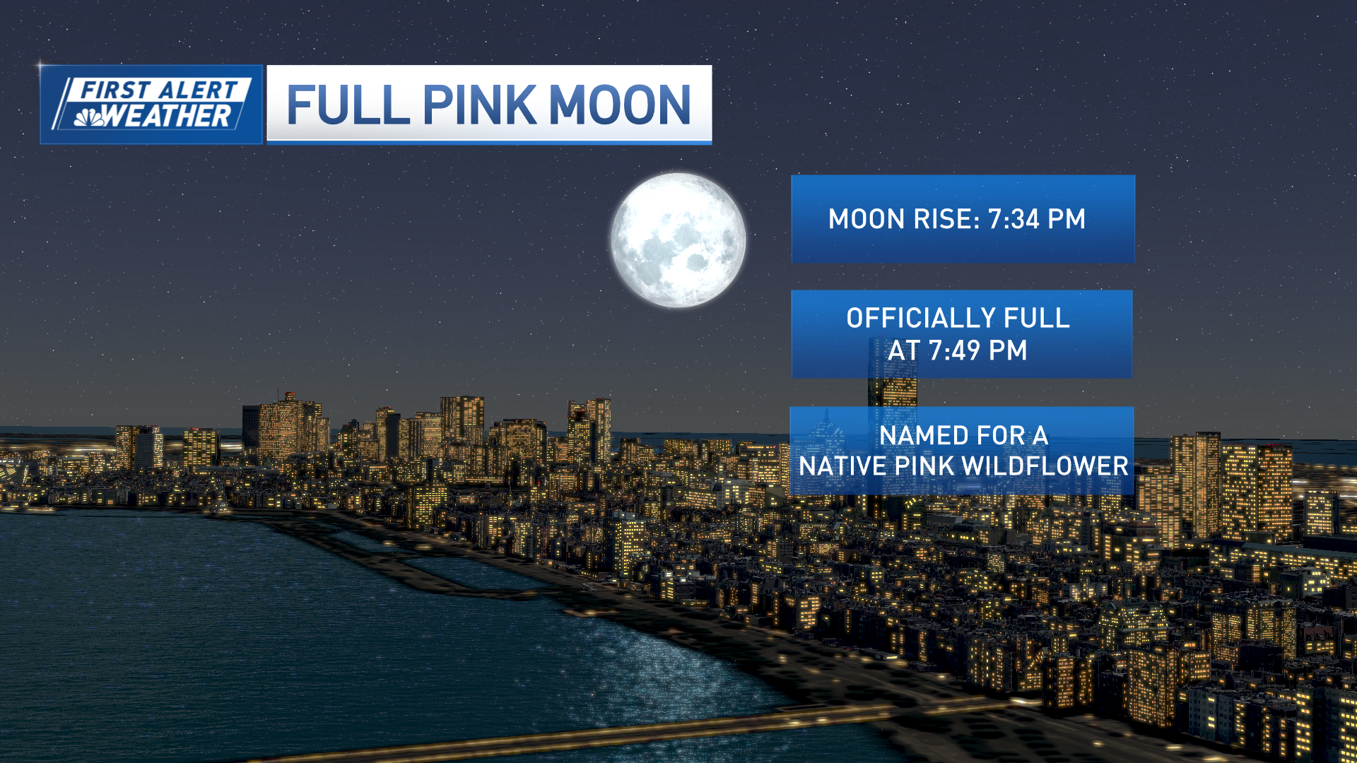
With tides running astronomically high owing to this week’s perigean full moon or “Supermoon,” some minor coastal flooding was already possible without a storm, but this storm along the Maine coast will exacerbate those issues and if the tide matches up with the strongest onshore wind, substantial coastal flooding would be possible particularly from Penobscot Bay, downeast at the Thursday midnight or Friday midday high tide.
Farther south and west in most of New England, Friday brings a busy breeze and only lingering scattered showers ahead of drier air for the holiday weekend. A major rain storm with wind and warmth appears to be shaping up for Monday with at least a couple of inches of rain possible before some drying toward midweek next week in the exclusive First Alert 10-day forecast.


