A chilly mix of sun and clouds continues through sunset.
Our weather will get worse before it gets better due to a blocking pattern in the North Atlantic. We could also call it a Greenland Block.
Think of it is a traffic jam in the steering currents high in the sky. The weather system that came into New England Sunday stalled, and is going to take several more days before it completely gives up influence on our weather.
A strong storm east of the mid-Atlantic this afternoon is slowing it's forward progress and will soon merge with our stalled system south of Nova Scotia.
A gigantic storm is going to form in the northwest Atlantic from this merger. We are going to see periods rain and snow back from west to east late Wednesday and Thursday from this powerhouse cyclone.
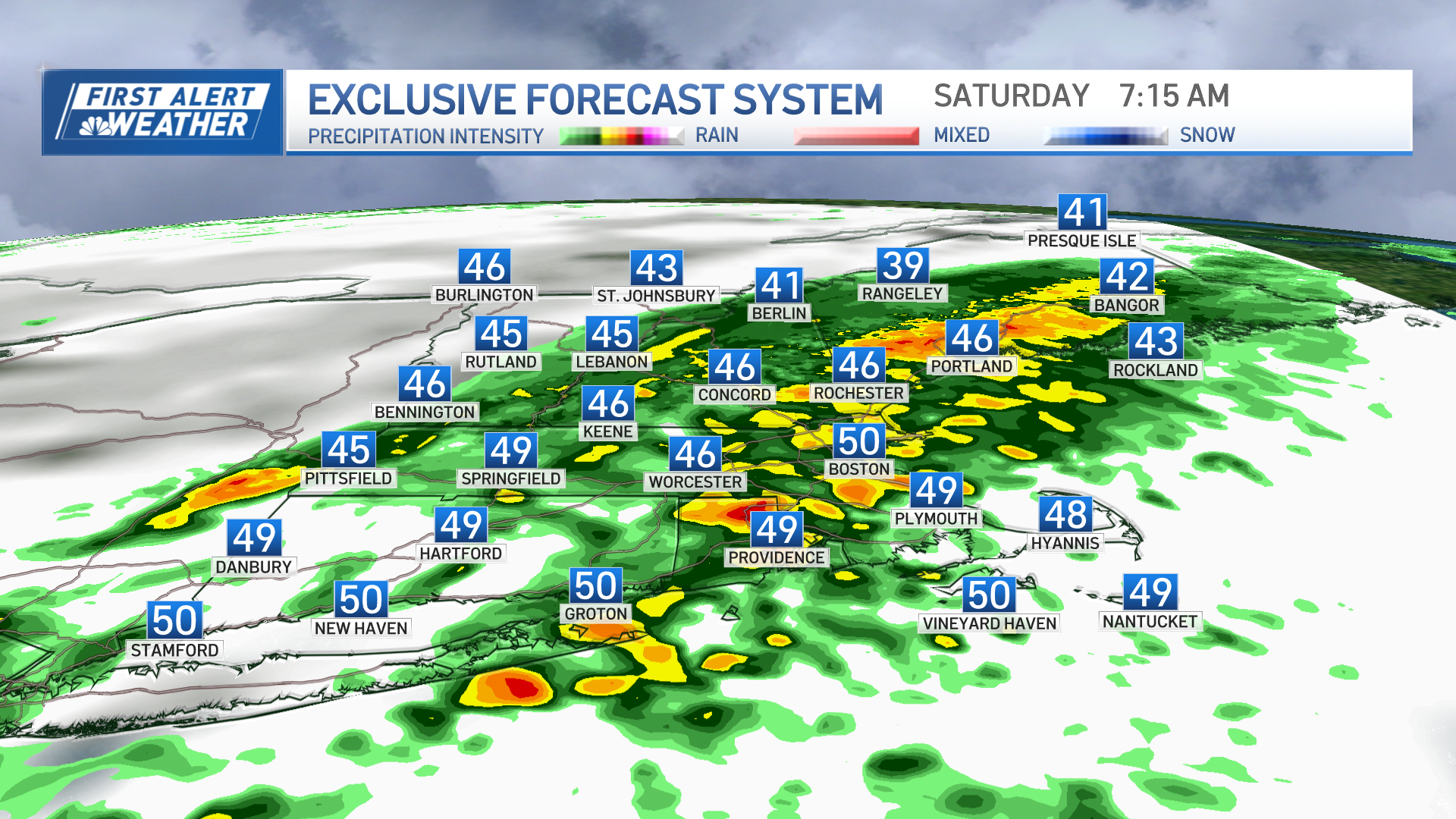
A mix of rain and snow has developed in northern Maine and spreading south this evening and overnight.
We also have warmer air coming in from the north, that's what can happen in a blocking pattern, that means most of us are wet and not white. The mountain tops may get a few inches of snow, otherwise around a quarter to half-inch of rain is possible in the eastern New England, drier in western New England.
Weather Stories
Highs tomorrow will mostly be in the 40s. Wind at the coast may gust 40-50 mph with pounding 10-15 seas and erosion at high tide.
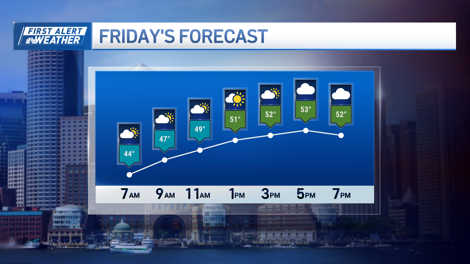
The ocean storm will wobble in our direction, and then slowly ease back toward the east Friday with slow drying. Temperatures will remain on the cooler side in the 40s to lower 50s.
The weekend looks mostly dry, but we are going to have light wind with a low level inversion with patchy low clouds or fog each morning. We may have some frost too. It's a tough call and how much sunshine we see each afternoon, but we are optimistic the temperatures do warm back to the 50s as seen in our First Alert 10-Day Forecast.


