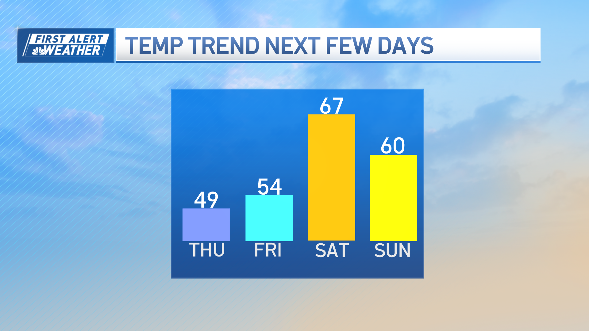
Our cool start to the week will continue into the day tomorrow.
High pressure situated over Lake Champlain will keep the wind direction onshore, keeping the coast cool in inland locations milder. Rainfall chances are very low all the way through the weekend.
As high pressure slides off the coast we will pick up a southwest wind direction. Temperatures begin warming quickly by Wednesday.
Eighty-degree warmth will make a return by Thursday and parts of New England may see a heatwave starting Friday and continuing into Monday. It's still too early to iron out the details, but this looks like the hottest stretch so far this season.
Places like Boston, Worcester and Providence are still waiting for the first 90-degree day of the season. Meanwhile, in northern New England, some communities have had two or three days already.
The heat will break with showers and thunderstorms by Monday. That means we will go another week without seeing significant rainfall.
Weather Stories
It's likely that parts of central New England will see moderate drought conditions develop. Yes, we saw thunderstorms last Thursday, but the rainfall was relatively scattered and too heavy, which caused runoff.
At this point, it does not appear that this pattern will change anytime soon. It's interesting to note that part to the minute Lantic will miss out on this episode of heat, because we are expecting an area of soaking rain south of Philadelphia.


