
The drought monitor updated this morning and we have gone virtually unchanged for a week. The drought didn't worsen or change for most of New England, however, the rainfall we had on Tuesday didn't completely get counted so next week's update will be more promising with 1-3 inches of rain from Tuesday and another 1-2 inches possible Friday into Saturday.
The showers begin to show up around northwestern New England this evening and slowly start to spread eastward.
While western New England starts off with scattered showers Friday, the eastern half remains pretty dry. A gusty south wind again boosts our temperatures to the upper 60s or near 70 before the rain heads in. Areas north and west stay in the 50s under showers and clouds. The rain will be very hit or miss by the afternoon around Boston.
More on Climate Change

By Friday evening, the rain picks up in intensity and in coverage. The rain continues to pick up overnight into Saturday morning. There's a chance for a rumble or two of thunder.
By late Saturday morning, the rain shuts off from west to east. The rain should get out of Boston by noon time Saturday and the last bit of rain lingers in Maine in the afternoon.
Saturday morning we may see gusts across Cape Cod and coast of Maine pushing 40 mph, before shutting down quickly as the rain heads out. Mountain light snow is possible too for Saturday around the Persidentials as the cold air filters in. Around an inch to 1.5 inch of rain is likely.
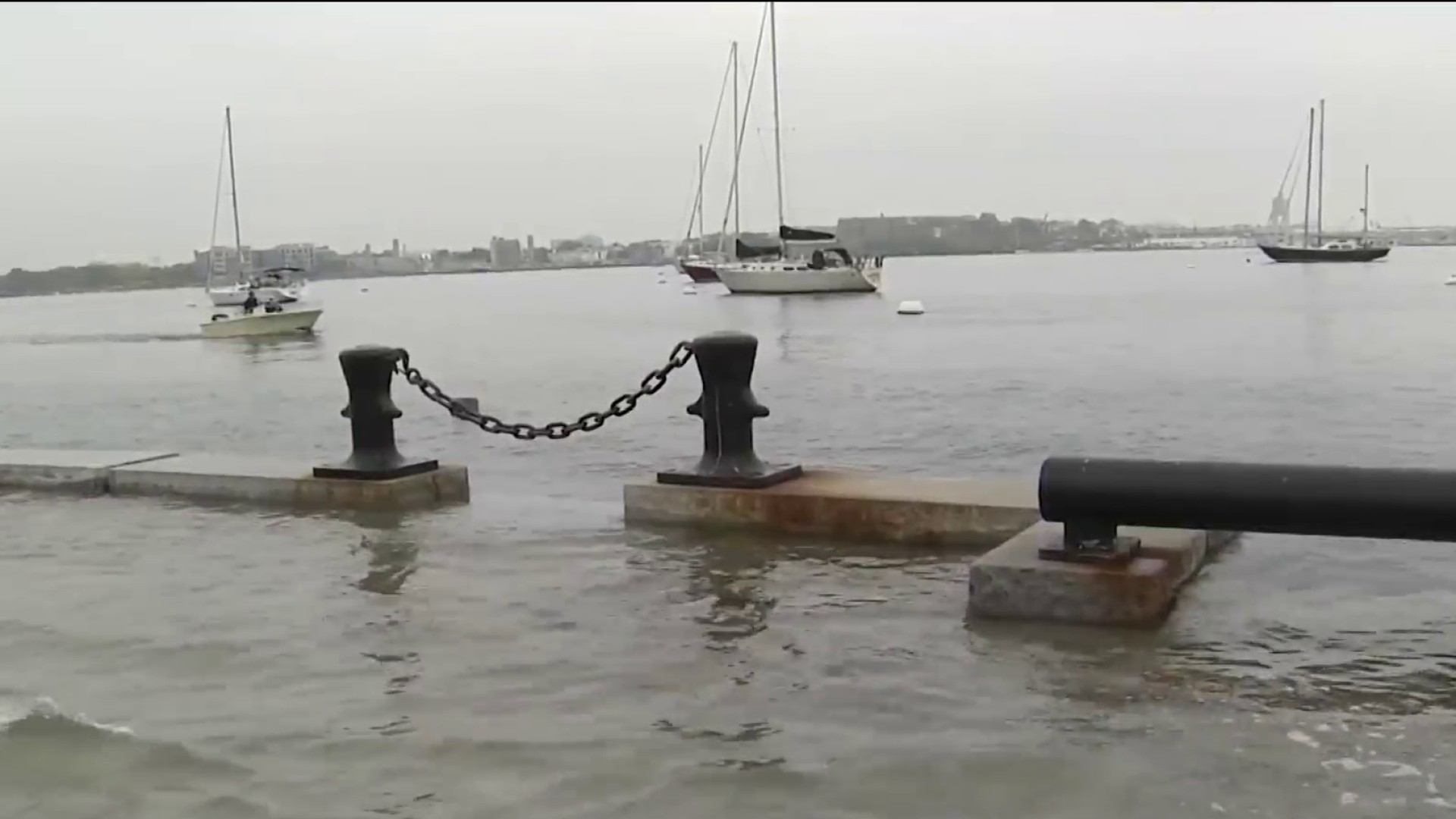
If we get a little onshore wind Saturday morning due to a low developing along the axis of rain, this could bring in some minor splash over or coastal flooding. Tides are running astronomically high Saturday through early next week so it wouldn't take much to see shore road inundation.
Sunday will be dry and cool with highs in the low 60s.
Next week we have repeated shower chances every other day or so as quick systems move through. Highs remain in the 60s through the rest of the 10-day forecast.
