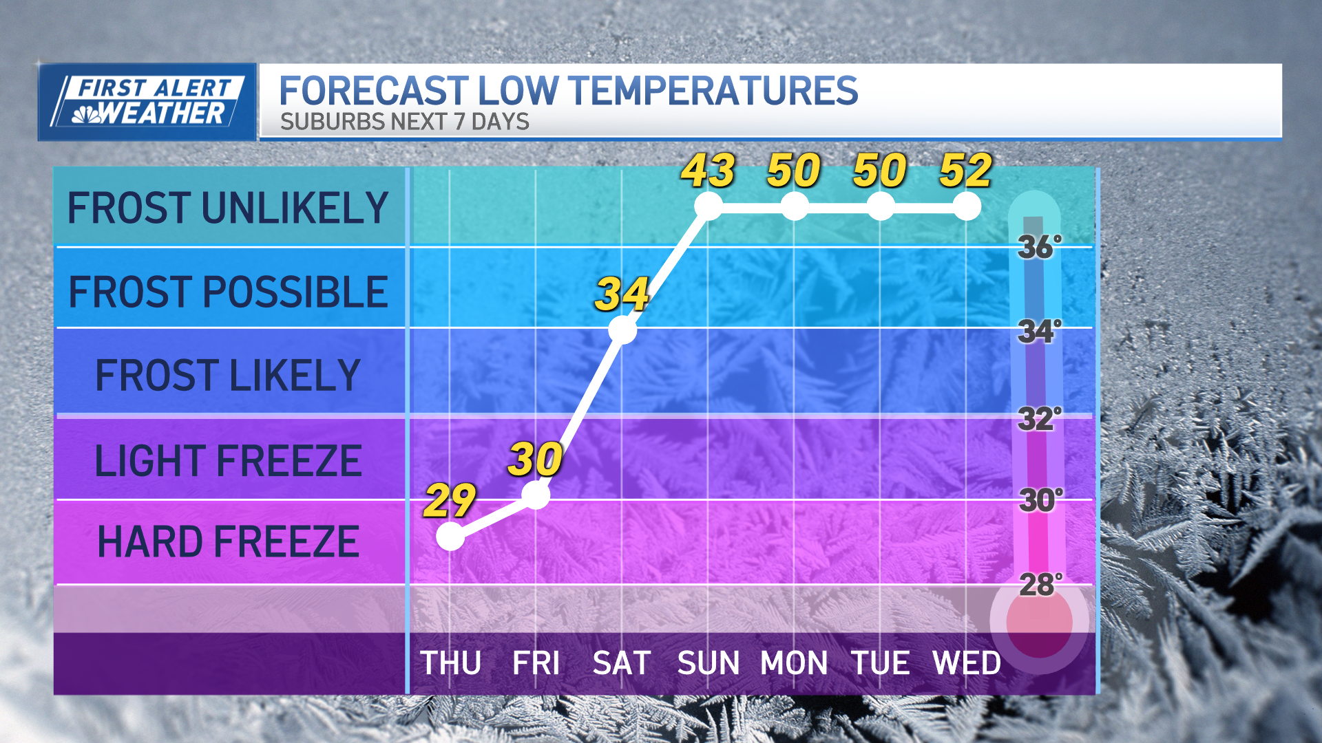
Clouds will continue to increase this afternoon and thicken, ahead of a weak cold front that will trigger some showers especially across Southern New England around dinner time.
This front will stall, and it will bring on and off showers Monday evening. We will then have an area of low pressure develop along the front that may bring a better chance for rain Tuesday night into Wednesday.
Rainfall totals range between half inch to one inch and a half-this will certainly continue to chip away at the rainfall deficit across the region. This front will also create a challenge in temperatures this week because to the north and east of this stalled boundary, highs will in the 50s, with even the chance of some upper 40s near the coast, while areas south and west will be in the 60s to around 70.
Get Boston local news, weather forecasts, lifestyle and entertainment stories to your inbox. Sign up for NBC Boston’s newsletters.
We turn mostly sunny on Thursday with highs in the 60s to around 70 and then by Friday, there’s a chance a coastal storm develops off the Mid-Atlantic which could bring rain and wind.
As of today, the storm is tracking well to our south which means the rain could be out by Saturday morning.
Stay tuned to our First Alert 10-Day forecast for the latest weather updates.
Local
In-depth news coverage of the Greater Boston Area.


