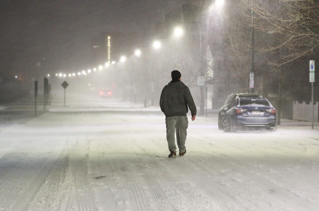
We’re starting off the work week on a frigid note as temperatures start off in the single digits south, with a few spots below 0, and below 0 temperatures across much of the north.
For some areas, it's the coldest morning of the year. Heavy jackets, gloves, and hats are a must for the kids at the bus stops this morning as light westerly winds make it feel below 0!
Much of today will be mostly sunny and cold, but a tad warmer than yesterday as high pressure remains over the region. The only exception is across the northern mountains where we could see a few snow showers this morning into the early afternoon.
Sign up for our Breaking newsletter to get the most urgent news stories in your inbox.
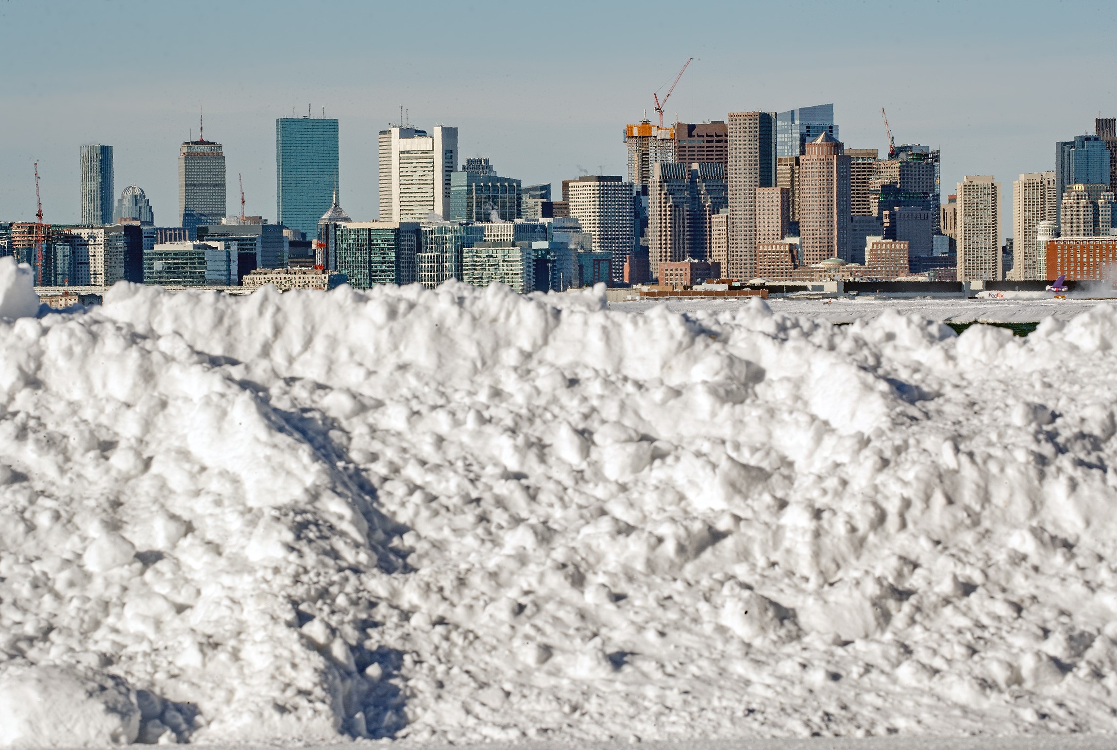
Get Boston local news, weather forecasts, lifestyle and entertainment stories to your inbox. Sign up for NBC Boston’s newsletters.
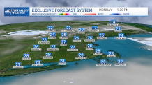
Highs will reach the upper 20s to 30 south, 20s north. A few clouds around tonight, with temps dropping off quickly, especially inland. Lows mostly in the teens south, few single digits away from the coast, single digits north.
High pressure will loosen its grip on the region Tuesday. As it moves east, we could also see an onshore flow developing, which may bring along some snow showers and flurries along the coast. It's something to keep an eye on, but not expecting much in the way of accumulations at this point. Highs low to mid 30s south, mid to upper 20s north.
The cold air takes a break from New England Wednesday and especially Thursday as we see temps reaching the 40s south, but remains colder across the north country. A frontal system will reach the region by Thursday bringing with it snow, sleet, and the chance for freezing rain for portions of central and northern New England, a plain rain south.
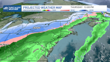
We’ll have to watch it closely Thursday night as it slips southward and low pressure develops along it Friday. At the same time, colder air will be moving south so we could see rain change to snow from north to south. We’ll be keeping a watch on it!
Have a great day!