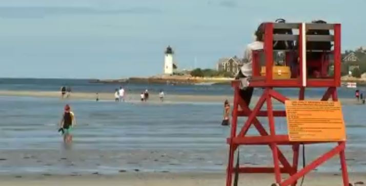
High pressure is off to our east and this means another cool, dry Monday night and comfortable day tomorrow.
Lows will dip into the 40s north, 50s south. Some areas across the North Country may again see frosty conditions and lows in the 30s!
A few clouds will move across southern New England and a couple of sprinkles will pass by the south coast, but most will stay dry. Areas of patchy fog will develop too, creating visibility issues for the morning drive.
Tuesday will be very similar to today with highs in the 70s and some areas approaching 80 inland with cooler temperatures at the coast. Mostly sunny to partly cloudy skies and low dewpoints prevail too.
Wednesday is our transition day as a warm front approaches and a low-pressure system heads in from the Great Lakes. The humidity increases from the southwest as highs remain in the 70s and clouds increase. The rain chance should be across western New England late in the day, so most stay dry.
Read About Climate Change
Wednesday night the showers and storms become numerous as a cold front heads south. The font doesn't completely move through though, so Thursday pop-up storms are possible again.
Sometime Thursday into Friday another cold front actually does move through so then we see the rain and storms end by later Friday. Highs Thursday into Friday reach the mid-80s with soupy air and a continuation of summer.
Labor Day weekend looks dry and seasonable as highs are forecast to be in the upper 70s. The humidity again retreats and it will feel almost fall-ish.


