Although a few showers will fall in New England on Wednesday, rain won’t be the feature of the day. Rather, showers will remain isolated to widely scattered, mostly developing in central, western and northern New England, and will tend to wane toward evening.
The showers are developing from south to north as a tangible change in air arrives, with increasing humidity indicated by a rise in dew points to the middle and upper 60s, feeling more like summer as astronomical fall begins at 3:21 p.m. Wednesday afternoon.
Slow-moving bands of rain and thunder across the Ohio Valley and Great Lakes will remain sluggish, so most of the day in New England brings only a few showers or a thunderstorm, particularly during the afternoon, but the vast majority of New England sees far more dry time than wet with some breaks of sun, continued humidity and high temperatures near 80 degrees, making for a summer feeling.
Get Boston local news, weather forecasts, lifestyle and entertainment stories to your inbox. Sign up for NBC Boston’s newsletters.
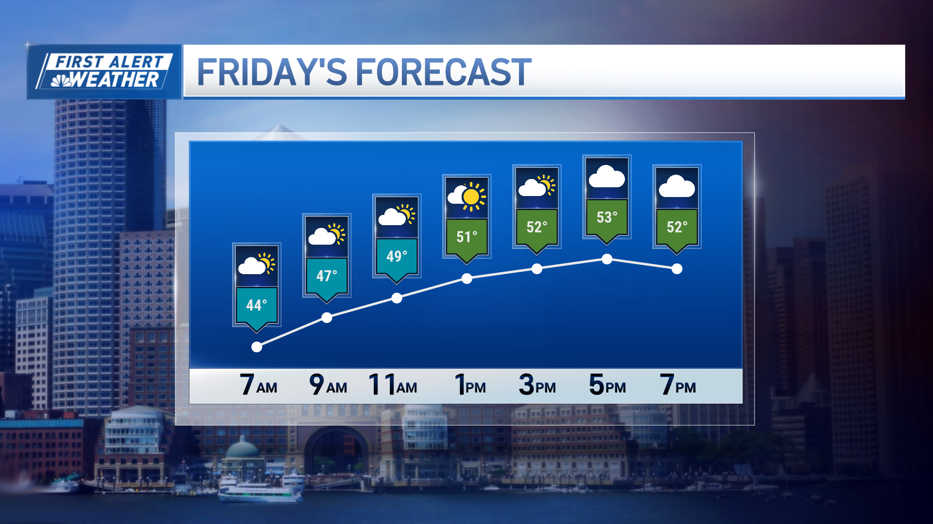
The cold front slowly prodding east into warmth and humidity, overturning that air for periodic showers, rain and thunder, arrives to New England on Friday for an unsettled finish to the week. While the actual number of hours spent raining may again be a bit limited, the tropical humidity feeding these storms raises the potential for locally torrential downpours and perhaps even a few damaging storms depending on the exact timing of the cold front’s arrival.
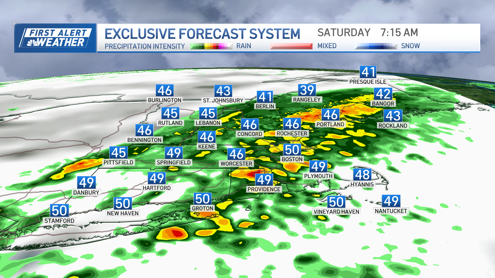
The concern is that with this cold front moving so slowly, showers or rain may very well linger into Saturday, particularly in the morning and particularly in eastern New England. This possibility has grown in the last couple of days as the forecast speed of the cold front has continued to decrease and our exclusive, built-in-house NBC Forecast System has increased from a 20% chance of Saturday showers early in the week to a 50 to 60% chance as of this Wednesday writing.
So… while from three days out we still need to work on the finer details like exactly what time the showers will end, from this vantage point is seems like Sunday surely should be the pick of the weekend.
Weather Stories
Once nicer weather arrives Sunday, the pleasant air sticks around for most of next week with the early call for dry conditions with the exception of one midweek disturbance that will elevate the chance of showers around next Wednesday in our exclusive First Alert 10-day forecast.


