
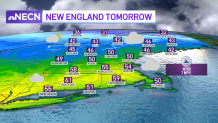
Our spring air continues all week long. Even our overnight low temperatures aren’t too bad. Most of southern New England will stay above freezing and in the low 40s in city centers.
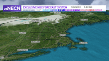
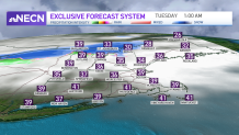
A near stationary front is draped across central New England the next few days so waves of precipitation will move through from time to time. No major issues, but tonight for example, we will see 1-2” of snow in the far north country overnight.
Get Boston local news, weather forecasts, lifestyle and entertainment stories to your inbox. Sign up for NBC Boston’s newsletters.
Some light showers will move through Tuesday night, but there’s very little in terms of rainfall expected. Perhaps enough to get the pavement wet. Meanwhile, temps continue to rise this week, to the 50s and low 60s by Thursday.
Scattered showers will pass across southern New England Thursday afternoon and evening, so watch for some rain around Boston. Temps continue to rise into Friday, with highs in the 60s at the coast thank to a sea breeze to 70s inland.
Weather Stories
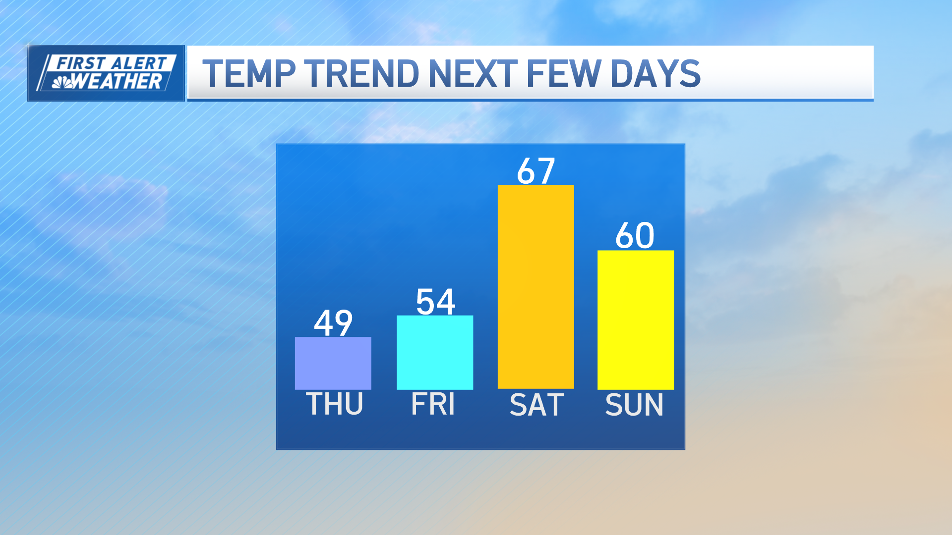

Another storm system may bring in some rain for Saturday with temps in the upper 50s as a low pressure system heads in from the Great Lakes. Sunday we see highs in the mid 50s and for now it looks like we dry off. Sunday is our first day of Astronomical Spring and it will feel like it! More spring temps are on the way next week as we stay in the 50s.
