Another afternoon of heat advisories and warnings have been issued in New England, with heat indices greater than 100 degrees in southern and central New England. We are also tracking small but intense thunderstorms.
Not everyone will see thunder, but with temperatures in the 90s and dew point temperatures in the 70s indicating plenty of moisture in the air, any storms that develop will have the potential to grow strong off the heat and humidity with torrential downpours, lightning and locally strong or damaging wind gusts.
Storms won't reach the south coast until night when most of them will be weakening as the cold front driving them slow.
They will slow so much that humid air is unlikely to be completely replaced on the Cape and Islands and immediate south coast, though the rest of New England will feel a pleasant difference with much more comfortable air Wednesday, even as temperatures still rise to 90 degrees.
Another disturbance and associated cold front drops into New England later Thursday, prompting a few more thunderstorms but also ushering in a fresh shot of even more comfortable, cooler air for Friday and the weekend.
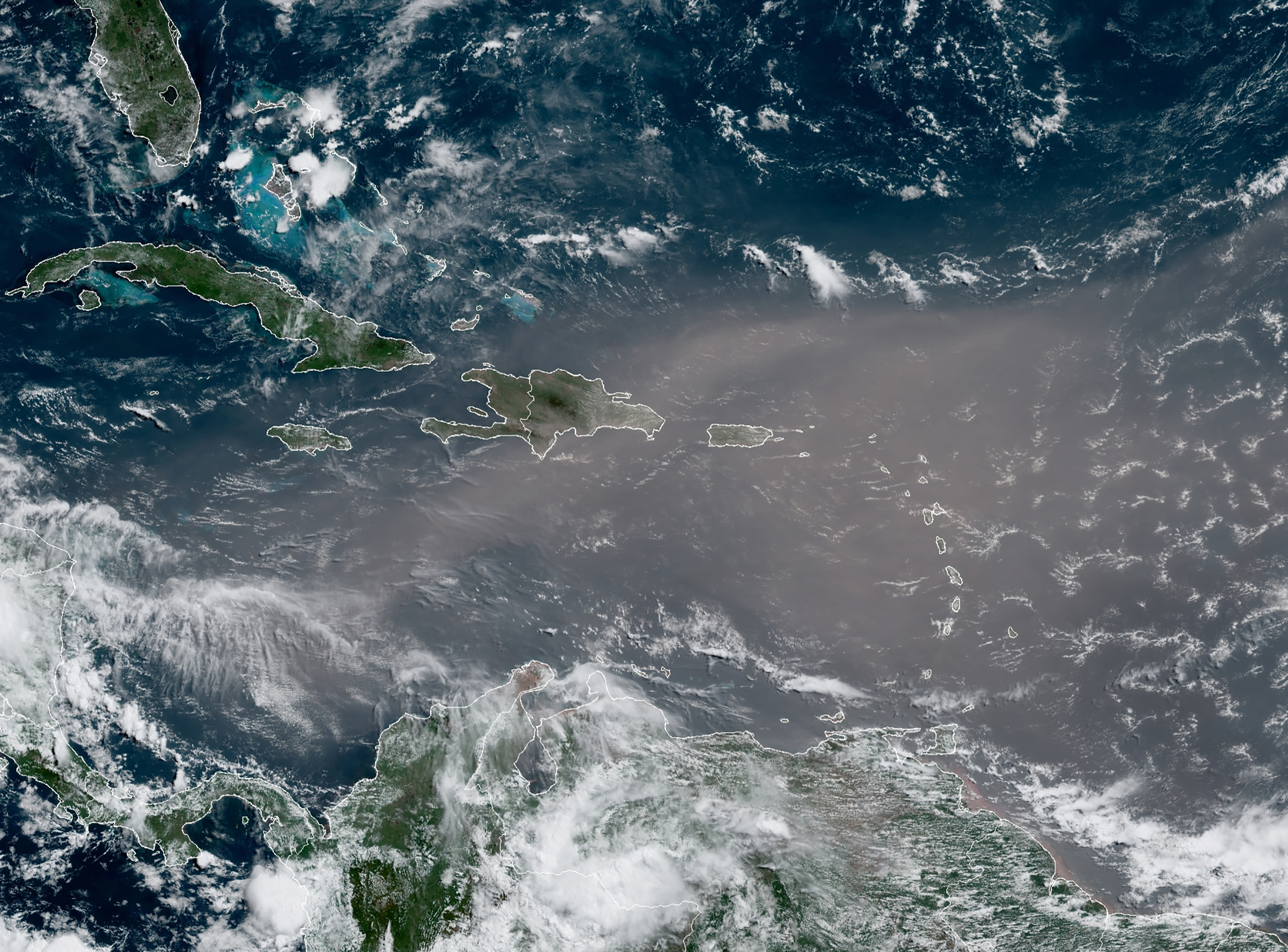
Humidity will return early next week with a developing southerly wind flow – we'll need to watch that flow of air because as of this writing there's a tropical cyclone named Isaias (ees-ah-EE-ahs) strengthening as closes in on The West Indies of The Caribbean.
The storm could represent a healthy slug of moisture, a piece of which could migrate north early next week to enhance showers and thunderstorms Monday and Tuesday, but another cold front is expected to once again sweep in more comfortable and drier air around the middle of the week, at the end of our exclusive First Alert 10-day forecast.