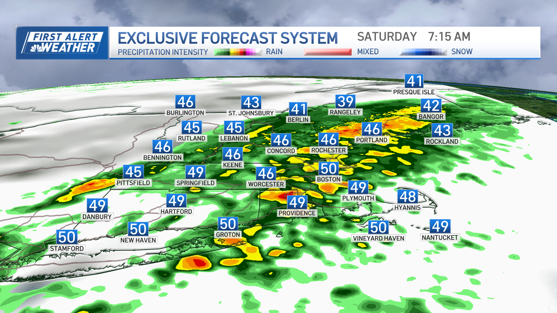
Our Sunday certainly took a downward turn. The warmth is a distant memory along with the sunshine. Clouds thickened up through the day with rain that developed during the afternoon for most.
At the coast in southern New England, it will stay rain for the next 36 to even 48 hours. In the mountains we will gradually transition over to wet snow. Some of our highest peaks may experience three to six inches of snow and that could lead to isolated power outages. The heaviest snow will fall Monday night into Tuesday morning.
This storm system moves away Tuesday afternoon and drier weather move in Tuesday night and Wednesday.
Wednesday is looking like the pick of the week with sunshine and temperatures in the 50s and low 60s.
Dry, mild days have been hard to come by this April. In Boston for example, temperatures were below average this month. April was the most below average month since April 2018. If you look at the bigger picture, only 16 out of the past 61 months have featured temperatures that have been below average.
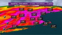
The next round of rain will not be accompanied by a chilly air mass. This next round of rain will feature a tropical connection which may lead to flooding. A widespread one to three inches of rain is likely Thursday into Friday.

Temperatures will warm into the 60s. There is still a significant snow pack in the mountains and that will melt with higher temperatures and heavy rain. River flooding is looking likely.
Weather Stories
Drier weather will move back in just in time for the weekend. Thankfully the milder air will be sticking around.


