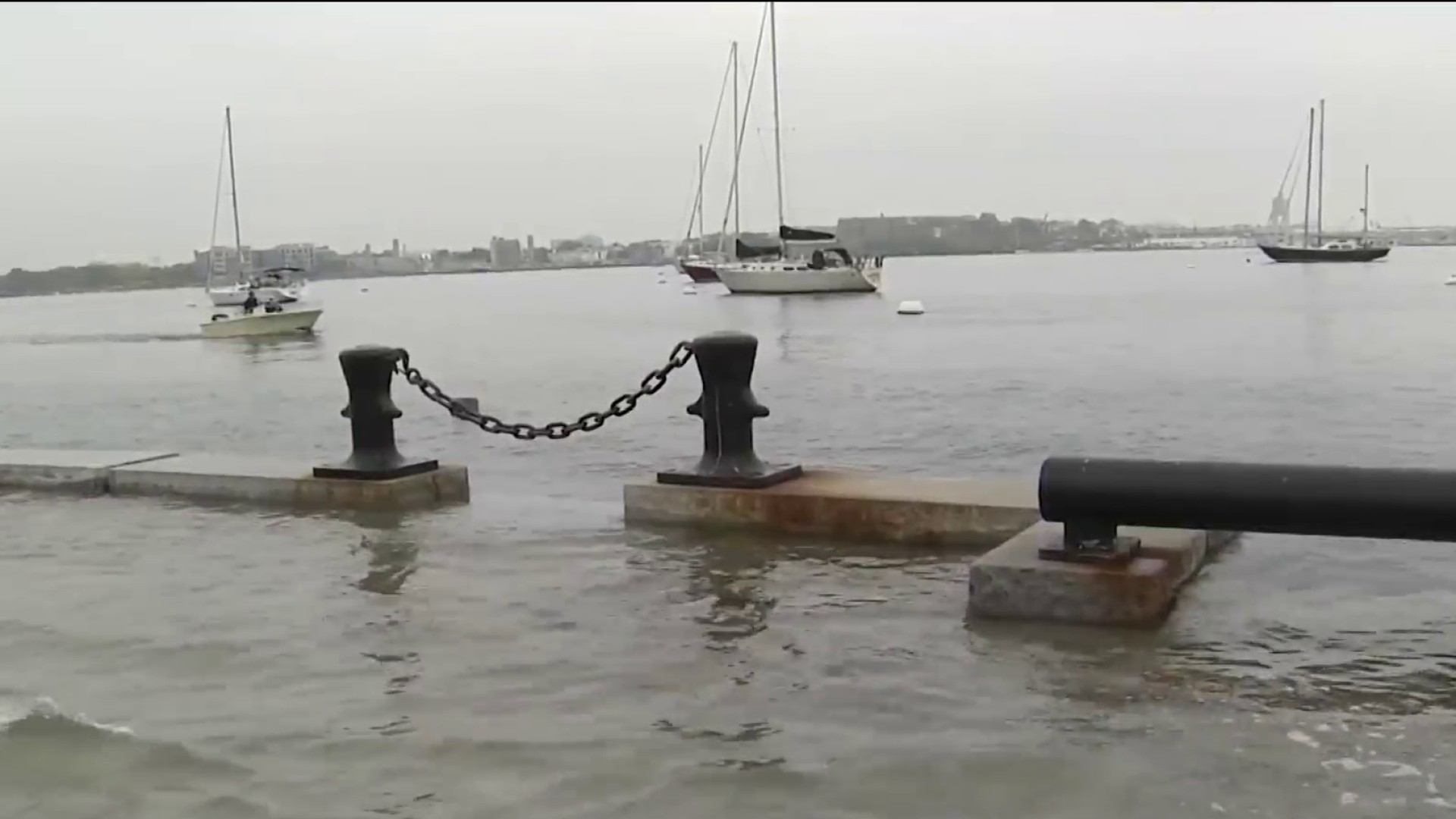
Much needed rain was expected to fall on a parched New England Tuesday, with around an inch expected for many communities.
The rain expanded from south to north as a blanket, steady light to moderate rain, but as warmer and more humid air moves in aloft, the rain will break into pockets and clusters, but become more intense when it falls Tuesday afternoon to evening.
The result will be a broad swath of either side of a half an inch of rain at first, then more localized but quicker additions of rainfall during the afternoon with a rumble of thunder even a possibility. Not only did the rain slow the morning commute, but it's likely to do the same thing Tuesday evening for most metropolitan areas before ending abruptly from west to east around and after sundown, ending last in Maine.
Get Boston local news, weather forecasts, lifestyle and entertainment stories to your inbox. Sign up for NBC Boston’s newsletters.
Our rain chances decrease as we head into the overnight forecast and as our system heads out. We're left with standing water and cool temperatures as skies clear tonight.
The exception is in Maine where showers and thunder will remain through Wednesday morning.
The rain tapers from west to east gradually this evening. Overnight lows will be in the 40s to 50s as the clouds decrease. Our wind gusts at the coast will switch from onshore to offshore and a light westerly breeze for all by tomorrow.
More on Climate Change
Highs reach the upper 60s Wednesday with lots of sunshine. Thursday will be just as nice, sunny and warm as highs reach the low 70s.
Friday into Saturday there is another system that will bring in heavy wind and rain again for parts of the northeast. These showers could amount to another 1-2 inches of rain if we see enhancement from a developing low off the main cold front.
The other option is that the low stays too far south, and we quickly see clearing for Saturday afternoon after the cold front sweeps through. Either way, colder air returns for highs around 60 both days this weekend and an all dry day Sunday.
Next week temperatures stay in the upper 60s to start, with several rounds of rain midweek due to a stalled front.


