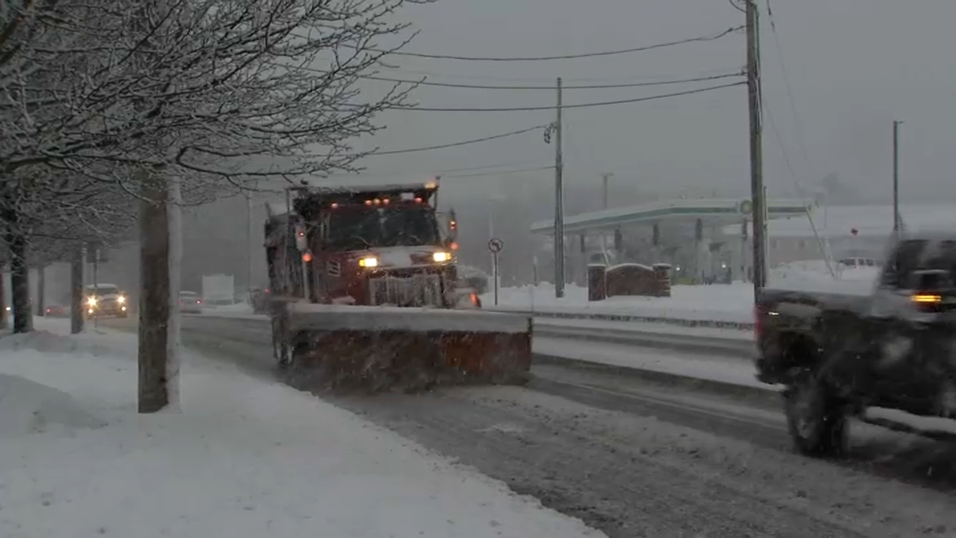
The heaviest snow is projected to fall between 2 p.m. and 6 p.m. Tuesday - that's the heaviest. The snow will gradually get heavier throughout Tuesday morning into midday. Most roads are going to become snow covered, especially from midday onwards.
The snow should be fairly lightweight and easy to move around, except for those in southeastern Massachusetts down to the south coast, where it's starting up plenty cold enough.
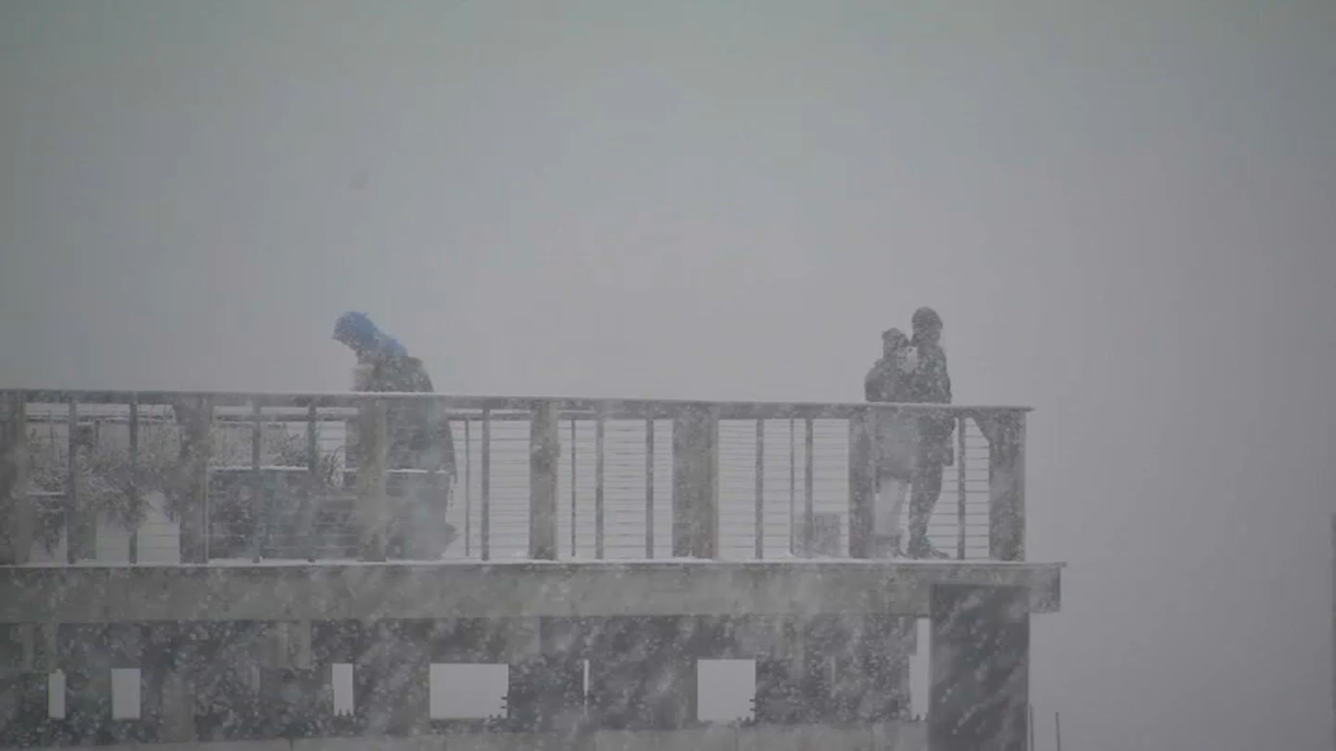
A little band of light snow developed Tuesday morning as a precursor to the main event, bringing some very light flurries. Most everyone is into the light snow by 10:30 a.m. Tuesday morning, but that's not where it ends. As a matter of fact, that's when it really picks up.
Get Boston local news, weather forecasts, lifestyle and entertainment stories to your inbox. Sign up for NBC Boston’s newsletters.
The snowfall rates increase by 12:30 Tuesday afternoon. We likely won't exceed snowfall rates over an inch per hour, but having said that, it's a really fluffy light snow and it does continue through the afternoon. It all comes to a close at about 7 p.m.
In terms of amounts, the Boston area down to Worcester is expected to see four to five inches. Projections get up to about five to six when further north and west.
The weather tomorrow looks good, even showing a little sunshine, but there are more chances for snow ahead.
As for the storms later this week, both of them are down to our south and both look like they may miss us. Thursday looks like a miss more and more. Friday's storm system is closer, but still looks like it probably stays down to the south, which leaves us waiting until Sunday for the next higher chance of a storm.
This doesn't mean we're totally out of the woods on Friday. There's still a 30% chance showing up in the 10-Day Forecast, but that has dropped a bit. Another storm is in the forecast for the middle of next.