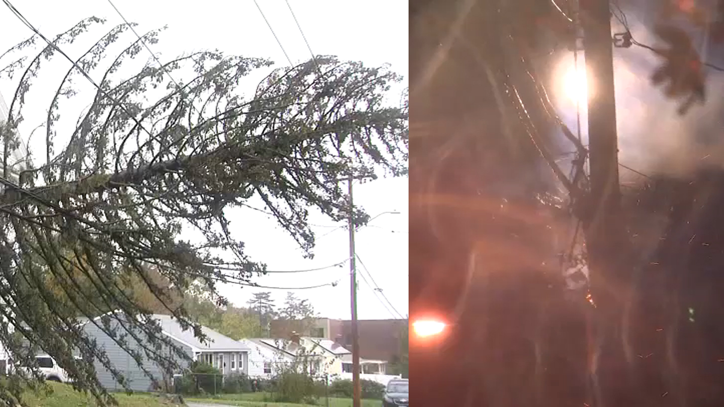
Thursday is dry, thankfully, a break from strong wind gusts that, until this morning, reached 40 mph. Now, we’re looking at wind gusts that diminish substantially inland, staying below 15 mph Thursday evening but have a difficult time to reach below 25 mph in the southeast tip of Massachusetts.
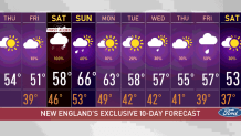
While we’ll have a break from the excessive winds, gusts are expected to pick up to 45 mph Saturday, when the next storm arrives. We have a First Alert stamp on the 10-day calendar.
The only good news with Saturday’s storm is that it won’t be nearly as strong as the nor’easter we just had. The only concern be the already-saturated ground on which the rain is falling.
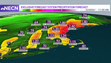
The wind gusts and the rainfall amounts won’t be reaching what we saw Wednesday. Gusts will stay below 50 mph and total rainfall amounts will likely remain below 2.5 inches in the most affected areas.
Get Boston local news, weather forecasts, lifestyle and entertainment stories to your inbox. Sign up for NBC Boston’s newsletters.
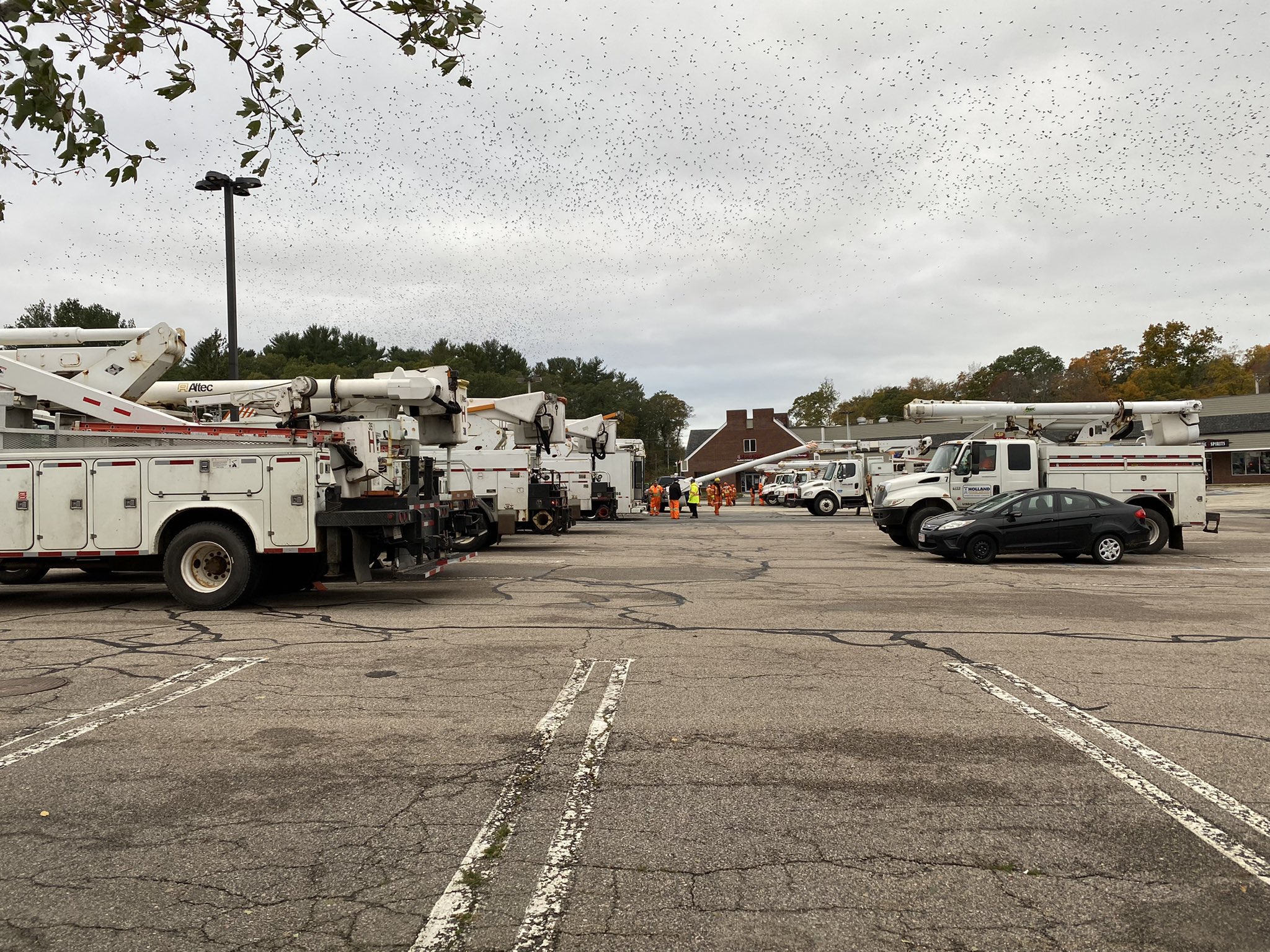
In other words, keep making the best of Thursday and Friday on storm cleanup and drainage clearing before the next round of showers comes in.
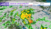
Timing the rain, the first bands will come in from the southwest into Connecticut and Western Massachusetts close to 1-2 a.m. Saturday. Once they start, they will continue moving in from the south and southwest throughout the day.
The heaviest rain is likely to affect eastern New England Saturday afternoon between 3 and 6 p.m., while some of the activity will linger into Sunday morning.
On Halloween, we’ll still watch some scattered showers in the afternoon, but we're not expecting it to be a complete washout. The late evening is looking better and better, hopefully improving the forecast as we get closer to the weekend.
Temperatures will stay in the 50s Friday and rise to the upper 50s Saturday and make to the upper 60s by Sunday.
The first day of November, Monday, is looking good, with partly cloudy skies and highs slightly above average. Tuesday is staying mostly dry with a drop to the 50s again and rain chances increasing as we approach midweek.
