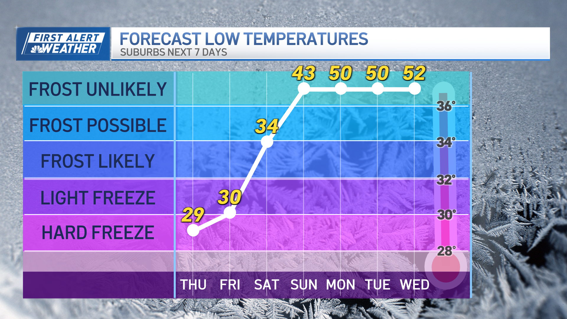
A brief warm-up is here before an extended stretch of more familiar mid-winter New England weather: cold.
It's actually a warm front passing over that generated our scattered flurries and snow showers with little accumulation Thursday, followed by some evening clearing.
But another front moves in late night Thursday with more snow showers, a coating to 1 inch for many but some select Green Mountain high terrain picking up as much as half a foot at summits by morning.
For the vast majority of us in central and southern New England, it’s a flurry in the forecast, with a push of warmer air that allows a fair sky to bump temperatures above 40 degrees Friday.
The brief respite from January chill will last only one day, as a round of late Friday snow showers and flurries represents another cold front, a shift in wind that opens the door to Canadian, polar air – not arctic, but cold enough to hold Saturday and Sunday high temperatures shy of 30 degrees and in the teens for the North Country, even under ample sunshine.
A steady wind both weekend days will add wind chill to the mix and may cause some summit chairlift holds for northern New England at times, particularly Sunday morning.
Weather Stories
Early next week, a storm moving east from the Midwest will tend to slide south of New England, though our First Alert Team is watching a separate northern jet stream disturbance that may cross our sky at the same time the storm passes to our south, and that could cause an expansion of snow showers north of the storm into parts of southern New England, so we’ll watch that for Tuesday.
Otherwise, the big theme of next week is January chill for the entire week. We haven’t seen a whole week of near or slightly cooler than normal weather in quite some time, and that alone is enough to make it noteworthy in our exclusive First Alert 10-day forecast.


