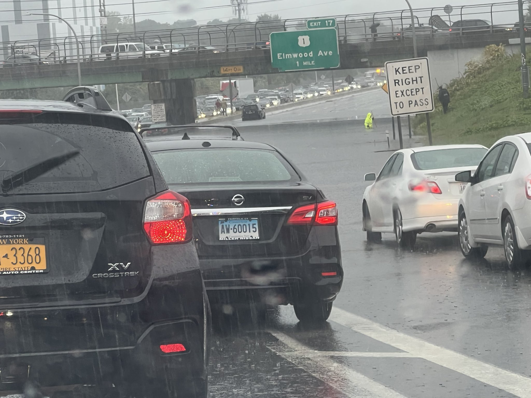
We have had quite the rainfall event across southern New England in the last couple of days.
Major flooding occurred in Rhode Island on Monday around Providence. And on Tuesday, flash flood warnings were hoisted twice for areas in and around New Haven.
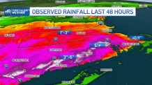
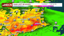
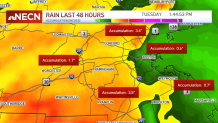
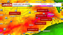
Radar-estimated rainfall had a good handle on actual reports across the region, with 2-5 inches in a swath across southern Connecticut through northern Rhode Island, and 1-3 inches of rain in much of northern Massachusetts outside of Route 128.
But it seems that the coast really missed out on this much-need rain, with areas on Cape Cod to Boston only receiving half an inch to 1 inch of rain.
Get Boston local news, weather forecasts, lifestyle and entertainment stories to your inbox. Sign up for NBC Boston’s newsletters.
Here are some more select rain totals from the National Weather Service, in partnership with Skywarn Storm Spotters:
RHODE ISLAND:
Cranston 11.06”
Greenville 9.24”
Providence 8.56”
Smithfield 7.95”
Scituate 7.63”
N. Providence 7.26”
MASSACHUSETTS:
Attleboro 5.37”
Billerica 4.75”
Rehoboth 4”
Southwick 3.75”
Franklin 4.23”
Hardwick 3.47”
Swansea 3.42”
Methuen 3.24”
Lawrence 1.24”
S. Dennis 1.0”
Boston Logan AP 0.66”
Plymouth 0.68”
Provincetown 0.23”
CONNECTICUT:
Newtown 7.90”
Sterling 7.35”
Moosup 7.2”
Somers 4.7”
Simsbury 2.93”
West Hartford 2.91”
Rainfall Maps for Mass., RI, Conn.
Drought Impacts
This will put a major dent in the drought conditions around Rhode Island and Connecticut, and soon -- most of this rainfall will be counted in the official U.S. drought monitor stats for the week. Stay tuned to see the latest map when it is issued on Thursday morning.
Unfortunately, Boston and the coast will remain unchanged, since our rain deficit is so high. We would need about 10 inches of more rain for Boston to make it up.
Drier weather returns gradually for southern New England Wednesday, with some lingering showers far south. We're all dry by the end of the week and going into the weekend.


