
Sunday began a new streak of days without downpours. It seems like we’ve had more days with thunderstorms lately than days without.
Although far northern Maine has been a little chilly and gray, most of us have plenty of sunshine today with stiff breeze coming down from Southeastern Canada.
A combination of a strong low pressure system over Nova Scotia and a strong high-pressure system over Ontario is responsible for this natural air conditioning.
We managed to get a new 80° at the south coast this afternoon, now as the sun goes down we’re going to cool off fairly quickly. There’s a beautiful view of the moon and Saturn and Jupiter in the southern sky tonight. The full moon is Monday night.
The gusty wind should ease overnight, with some inland areas cooling to the low 40s and most of us in the 50s to near 60 degrees with patchy fog late night.
Monday, Aug. 31 marks the last day of meteorological summer.
New England Weather

It looks like a nice day with much less wind, plenty of sunshine, and high temperatures in the 70s with a light sea breeze, which will keep the beaches a little bit cooler.
High pressure moves off shore Monday night with a return flow coming in from the east and southeast Tuesday. This may bring in some ocean clouds, and a slight chance of a few showers. High temperatures will be in the low 70s, warmer to the west and north farther from the ocean with low pressure developing while south of Nantucket that may transition to a tropical storm as it races well to our southeast Tuesday night and Wednesday.
We also may have a tropical storm developing near the Caribbean as the week goes on.
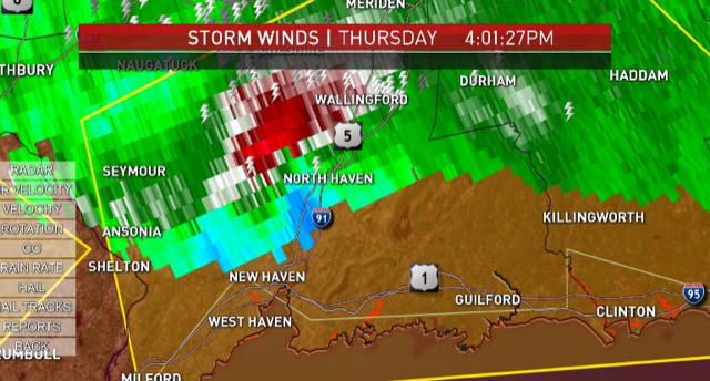
Wednesday we start transitioning back to warmer weather with a mixture of sun and clouds and a chance of a shower. Thursday and Friday look warmer with sunshine and a chance for a thunderstorm in Western New England each afternoon. The next cold front comes through on Friday with a couple of showers in a thunderstorm, leading to it looks like a nice Labor Day weekend in our first alert 10 day forecast.
