
Temperatures cooled dramatically Thursday evening but started to rise shortly after midnight as we got onto the warmer side of a high-pressure system.
These temps will continue to rise Friday all the way to near 50 degrees in southern New England as a warm front bisects the region.
We are not all dry; there are a few areas with some sleet and snow in Vermont Friday morning, with some patchy slippery driving toward the Canadian border that will move into Maine early in the afternoon. But for most of us, it’s a nice day with more sun than clouds and a high temperature in the 40s. Wind from the southwest increases 15 to 25 mph during the afternoon.
Scattered rain showers are likely across northern New England Friday night. Otherwise, it will be fair and mild with a low temperature in the 40s.
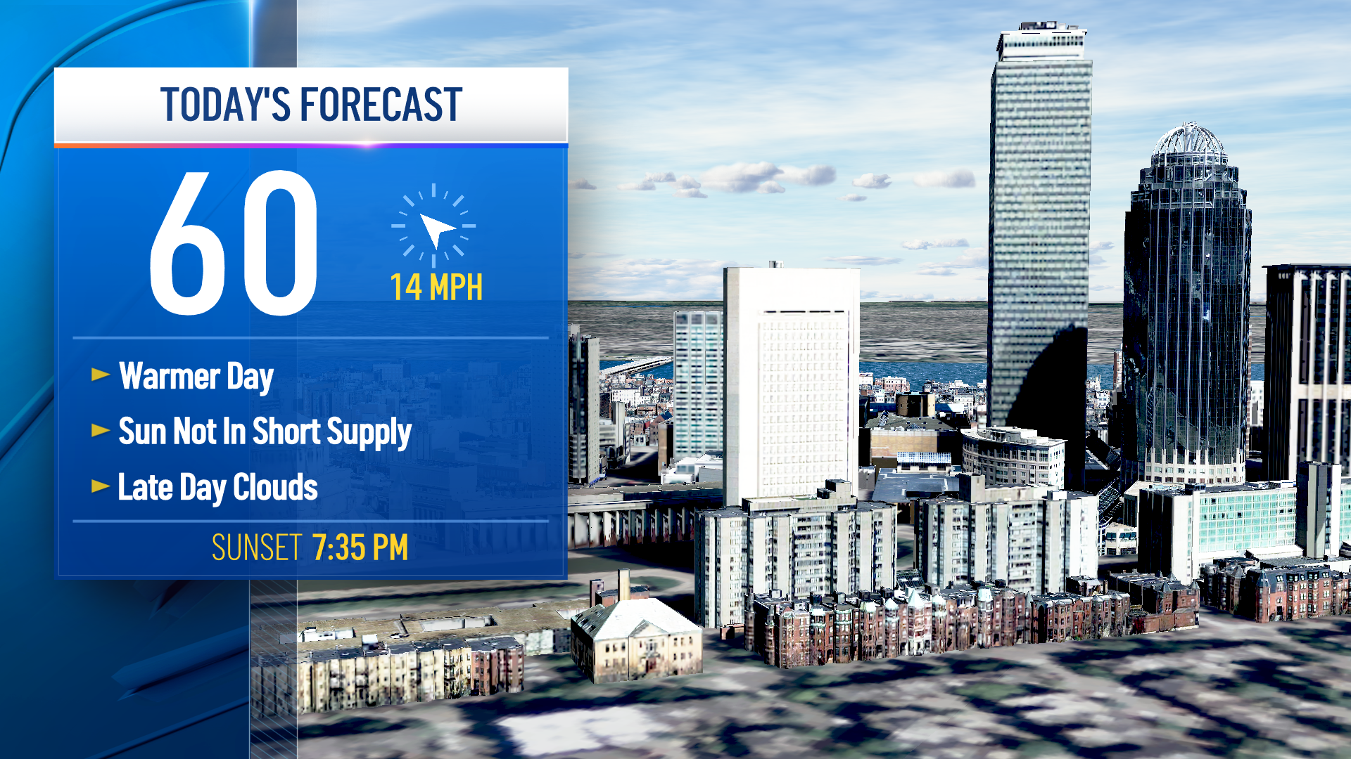
Warm to record warm across much of New England Saturday with a good amount of sunshine south and a high temperature near 60 degrees. More clouds north with a high in the 40s and 50s.
Rain showers are possible toward the Canadian border. Conditions deteriorate across northern New England Saturday night as cold air starts to push back in from the north.
Low pressure will be moving north away from Maine. That allows a cold front to settle all the way to southern Maine by Sunday morning.
Weather Stories

At the same time, another low pressure strengthens over the Midwest. This will generate smaller waves of low pressure rippling eastward along the thermal boundary, pushing an area of precipitation into Vermont, New Hampshire, and Maine.
Up in the sky, it’s warm enough for all rain but down near the ground. Temperatures will be falling into the 20s. This sets the stage for potential major freezing rain storm Saturday night and Sunday morning.
In the Champlain Valley in Vermont, freezing rain may only last a few hours as warmer air tries to come back in from the south. But in the northeast Kingdom of Vermont, across much of central and northern New Hampshire, and most of Maine, we may have a steady rain with ice accretion of an inch or more possible.
North of Baxter State Park, it should be cold enough for just all snow. All snow is much better than freezing rain.
Should this freezing rain situation materialize, we may be looking at a prolonged power outage situation. It is for this potentially high impact event, we have a First Alert for Saturday night and Sunday.
The southern edge of the freezing rain may come all the way to southern New Hampshire early Sunday before lifting back toward the north during the day.
At the same time, we will have mostly cloudy skies, with rain showers in southern New England and temperatures remaining in the 60s. An amazing contrast!
Where it is warmer in southern New England, wind from the south may gust past 50 miles an hour with possible localized wind damage Sunday.
That whole weather mess should push out later Sunday, with clearing southwest to northeast during the afternoon and overnight.
Next week looks mild to start off, but with a cooling trend, the next chance of wintry mix is Tuesday night into Wednesday. After that, there’s potential for a major cold front coming in late in the week with temperatures going below normal by next weekend. Hang on for some wild swings here in our First Alert 10-Day Forecast.
