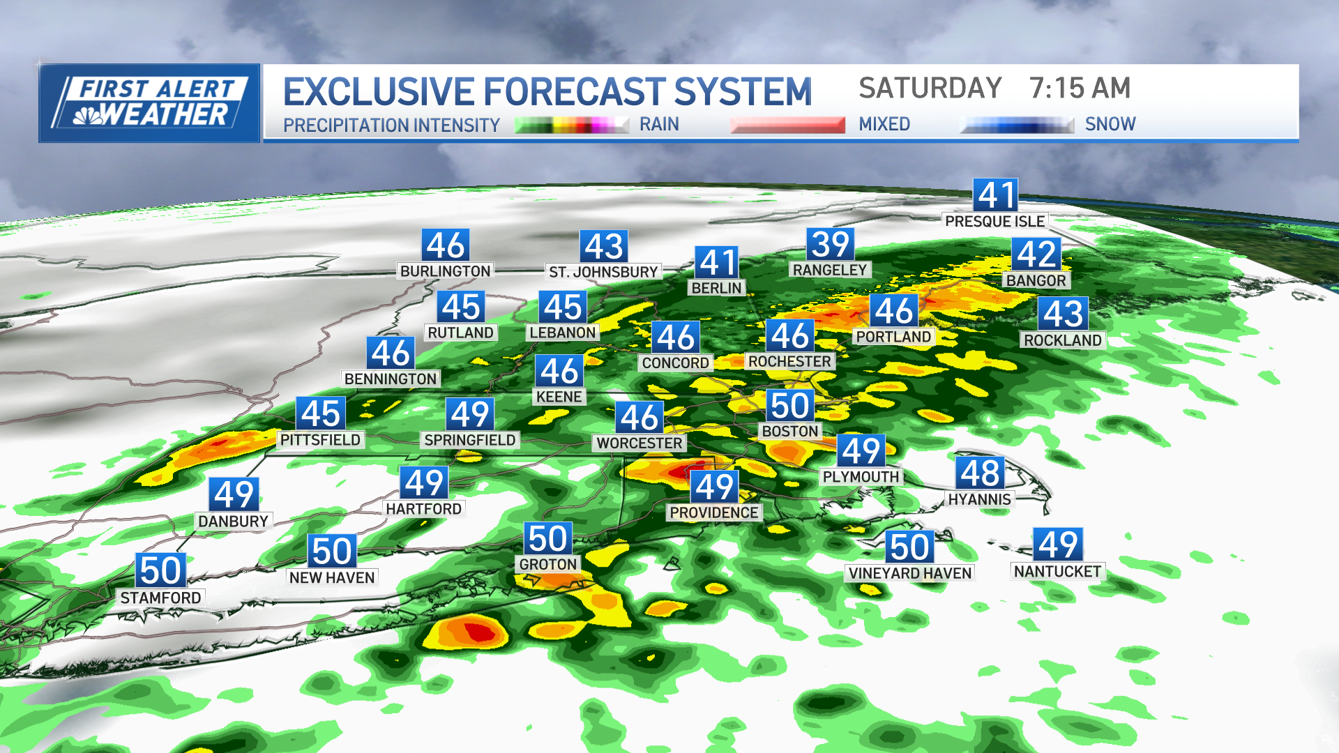
The storm that strengthened into a powerhouse over the waters east of New England is trudging to the northeast Sunday, leaving snow showers behind in Maine and the northern mountains.
But for most of New England, dry and colder air is taking over on a busy wind.
The wind won’t gust anything like the 70 to 90 mph blow we had at the immediate coast Saturday night, but gusts of 30 to 40 mph Sunday morning and 20 to 30 mph during the afternoon will couple with high temperatures just shy of 40 degrees to create a wind chill factor in the 20s at the warmest time of the day.
[radar wx/]
Of course, snow and water aren’t affected by wind chill, only our exposed skin is, so starting the day at the melting point and rising above it through the day will mean melting, and anything that’s been brushed or scraped should clean up very nicely with nature’s help.
As temperatures drop into the 20s overnight Sunday night, lingering moisture on roads will freeze for patches of black ice but otherwise quiet and chilly weather settles in for the next few days.
Weather Stories
A bundle of moisture and energy along the U.S. Gulf Coast will eject northeast and off the East Coast Monday night into Tuesday, but even as that storm rapidly strengthens like its predecessor, unlike the storm we just had this next one will miss far right, sailing out to sea to our south and east.
Instead, a weak disturbance aloft may deliver a few flurries under building clouds late-day Monday and into the evening, then a cold northerly wind could deliver a few ocean-effect snow showers to outer portions of Cape Cod by Monday night and Tuesday.
Another upper-level disturbance traverses New England Wednesday evening or night with another chance of flurries or snow showers, but it doesn’t look to be a sizeable system at this point. That disturbance will be coincident with a warm front at the surface, easing the cold for Thursday and Friday, leaving enough mild air in New England so when the next chance of showers arrives late Saturday into Sunday, it’s likely to be rain showers for many of us, not snow.
Nonetheless, the string of cold nights coming up will absolutely be cold enough for snow guns to fire at New England ski areas, meaning the base building has begun after a mild and rainy stretch, and trails will open quickly over the next few days.
For snowmobiling, it’s a tougher proposition since we don’t see a lot of additional natural snow in the next several days, but you can count on our First Alert Weather Team on NBC10 Boston and NECN to stay on the lookout and keep you posted before anyone else in our exclusive 10-day forecast!


