A couple of weak waves of energy are rippling along a boundary that is stalled in New England, generating a few snowflakes and raindrops this week.
There’s very cold air in southeastern Canada versus very warm air south of New England, and the front from Sunday night has stalled.
Each one of these energy centers can generate some rain or snow showers. Monday evening's snow showers, especially in Maine, is where we picked up a dusting to an inch. Partial clearing allowed for some heavy frost in many spots to start our Tuesday, with temperatures starting in the teens and 20s north, 20s and 30s south.
We have a brighter sky Tuesday with several hours of sunshine. Temperatures will be similar to Tuesday in the 30s to lower 40s from north to south. A breeze from the northeast will gust at 10 mph.
A more significant front will cross Tuesday night with a period of snow for northern New England, prompting the possibility of a few inches of snow in the mountains. Otherwise, there will just be a few rain or snow showers self. Temperatures again will be in the 20s north, 30s south.
Wednesday features some warmer weather for the southern half of our region with a high temperature close to 50 degrees, remaining mostly cloudy north with a high in the 30s and 40s.
Thursday, we’ll get another system with a warm front and a cold front. A period of snow north may generate several inches for the ski areas. And some rain showers may change to snow squalls south.
Weather Stories
Temperatures will top out in the 40s in the morning, then crash down through the 30s and 20s in the afternoon as the wind increases from the northwest gusting past 45 miles an hour by nightfall.
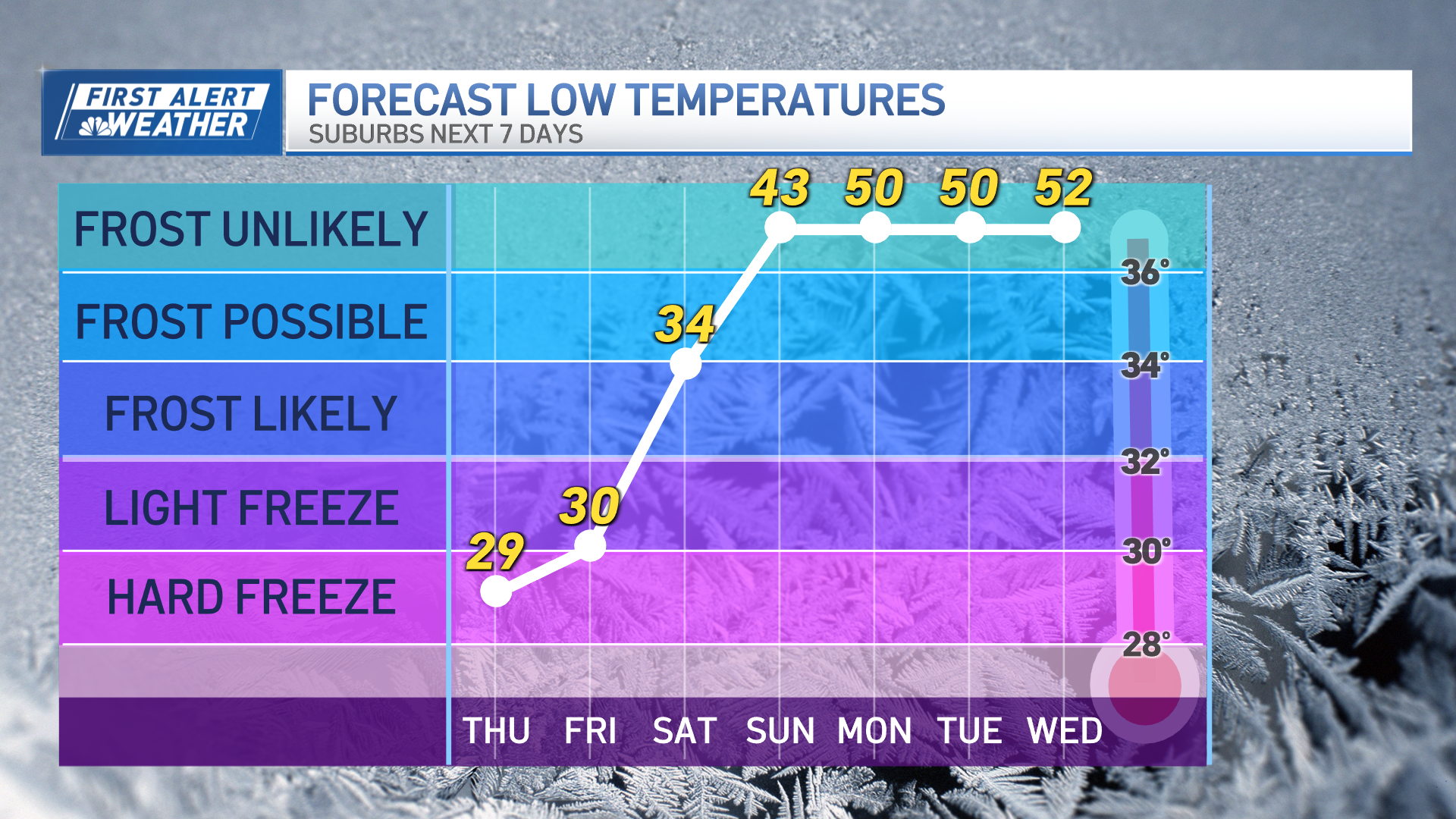
Strong high pressure from Canada brings in sunshine and very cold air for Friday. High temperature will be in the teens north and 20s south, wind continuing to gust past 30 miles per hour.
Friday night is clear and very cold, then a storm will impact the region on Saturday with heavy snow developing in the afternoon and evening. Two to 4 inches of snow is possible around the Greater Boston area, with at least four to eight expected in Northern New England, before we see an inevitable turn to mix and rain as temperatures rise through Saturday night and into Sunday morning.
Otherwise, snow will end early Sunday and it will become windy and stay cold.
Where it is all snow, we may have more than 10 inches. Then, it will be very wintry as seen here in our First Alert to 10-Day Forecast.
Meteorologist Pete Bouchard contributed to this report.


