
After a bit of a lull in the action across parts of New England, areas of rain have filled back in and continue to fall at a steady pace Monday afternoon.
Some embedded downpours will work from west to east across central and southern New England Monday evening, and many communities will pick up an additional 0.5 to 1.5 inches of rain on top of what we saw Sunday night and Monday morning.
Widespread flooding doesn’t look like a big threat, although some localized minor flooding is possible.
Get Boston local news, weather forecasts, lifestyle and entertainment stories to your inbox. Sign up for NBC Boston’s newsletters.

It’ll still be a damp start Tuesday morning with areas of rain tapering off to showers by mid to late morning. Clouds will be a bit tougher to scour out – though partial sun will develop in northern New England with some breaks possible before sunset in southern New England.
A beautiful stretch of weather is setting up for Wednesday through Friday, with ample sunshine, warmer temperatures and dry conditions.
Weather Stories

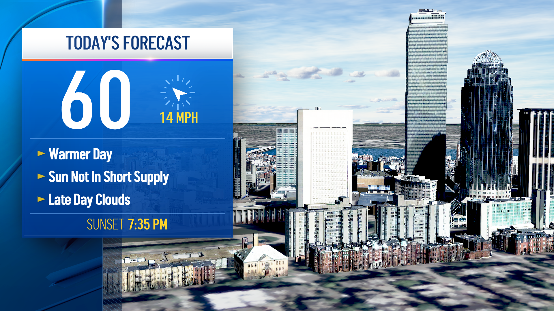
A backdoor front will bring an onshore wind and cooler conditions to kick off the weekend (60s), but aside from a quick passing shower or sprinkle Saturday, we’ll be dry.
Sunday and Columbus Day/Indigenous People's Day look mainly dry at this point as well, though admittedly we’re going to be squeezed in between a front coming out of Canada and a developing low to our south.
For now, we’ll stay optimistic: no wash-outs and nice fall weather for lovely foliage viewing for the holiday! We’ll warm back into the 70s next week in our exclusive 10-day forecast.
