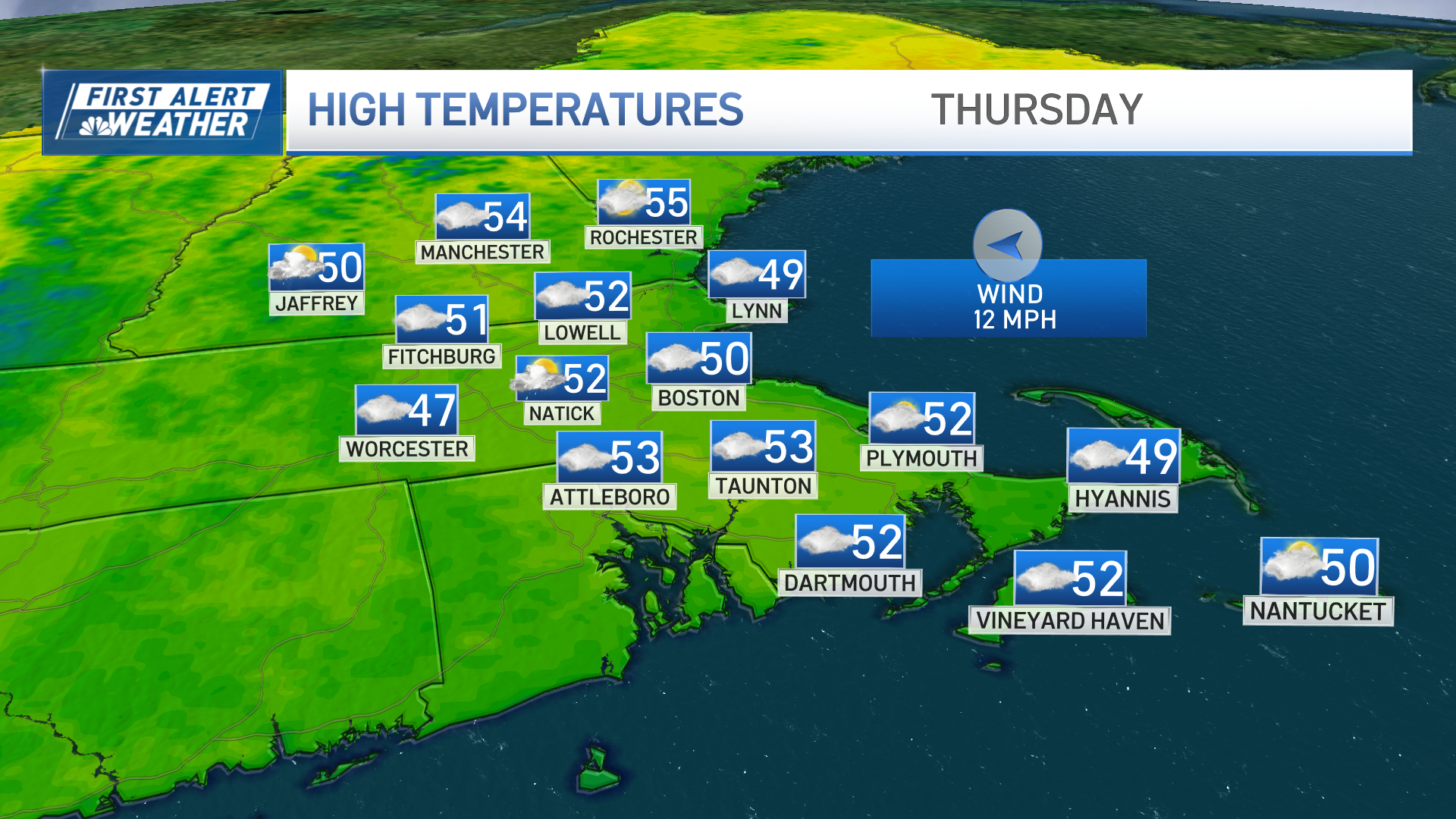
The increase in humidity across New England is moving in on a southerly wind, and that new air traveling over cool ocean water creates a more moist, cooler air over southern New England that allows for clouds to develop and drift north across southern New England late each night into each following morning.
These clouds tend to be shallow, don’t produce any rain and burn off fairly quickly with such strong summer sun, with the Cape and Islands taking as long as late morning to completely burn through the clouds but eventually seeing sunshine with mild and humid air by afternoon.
Get Boston local news, weather forecasts, lifestyle and entertainment stories to your inbox. Sign up for NBC Boston’s newsletters.
Elsewhere, any clouds burn off quickly and sunshine couples with the new, warm, humid air to lift temperatures to around 90 degrees right on through the weekend. The strong sun angle comes with the Summer Solstice: the first day of astronomical summer on your calendar, but more importantly for us as meteorologists, the strongest sun angle and longest day of the year with just over 15 hours and 17 minutes of daylight for someplace like Boston on Saturday.
Of course, the strong sun also means sun safety is important: SPF 30 sunscreen, finding shade when possible around midday, remembering the hat and sunglasses and staying hydrated. One thing notably absent from the forecast is thunder: often a feature of a hot and humid New England forecast, this time around we just don’t see a strong enough feature to trigger thunderstorm development for most of us this weekend.
Often, variable heating in the mountains can cause an isolated storm to develop and that probably will happen in the mountains of northern New England Friday evening, Northern Mountains and perhaps Berkshires on Saturday late day and evening, and scattered late day and evening storms that may survive out of the mountains into other parts of northern and far western New England on Sunday.
Weather Stories
For the vast majority of New England, the weekend will be storm-free, but heat and humidity continues into next week, with the chance of afternoon thunder growing, especially toward midweek. There are indications the humidity may decrease by late next week into next weekend, but summer warmth is expected to roll on through the end of our exclusive First Alert 10-day forecast.


