Breaks in the clouds under a more humid air mass will give way to scattered showers and storms late Wednesday afternoon and evening, with a few being strong to severe.
The best chance for stronger storms is over western New England, especially southern Vermont, western Massachusetts and much of Connecticut. A severe thunderstorm watch is in place for parts of those states through 10 p.m.
See a list of severe weather alerts in your area here.
The most vulnerable area looks to be from the Quabbin reservoir to the Merrimack Valley, where the primary threat is for heavy rain and damaging wind. Keep an eye to the western sky as these cells develop and move to the northeast.
A warm front will continue to lift north, increasing dew points into the 70s over much of southern New England.
It will be marginal viewing for Comet Neowise this evening, with the best chance along the south coast, and in far northern New England.
The weather pattern changes very little over the next couple of days. There will be a chance of showers and strong to severe thunderstorms again Thursday with temperatures in the 80s to near 90 degrees.
On Thursday, some people in the Boston area will get see torrential rain when storms arrive early in the morning. The risk for severe weather looks more widespread than on Wednesday, as a cold front slides across New England.
On Friday, we are still left with the front across the South Coast and a chance for showers and storms, with temperatures cooler in the 80s. Less humid air comes into northern New England Friday evening.
Climate Change News
The weekend looks pretty good, with a blend of clouds and sun Saturday and a bit more in the way of sunshine Sunday, before clouds move in later in the day. Temperatures will be in the 80s to around 90 degrees.
A threat for storms returns to far northern New England Sunday afternoon and evening.
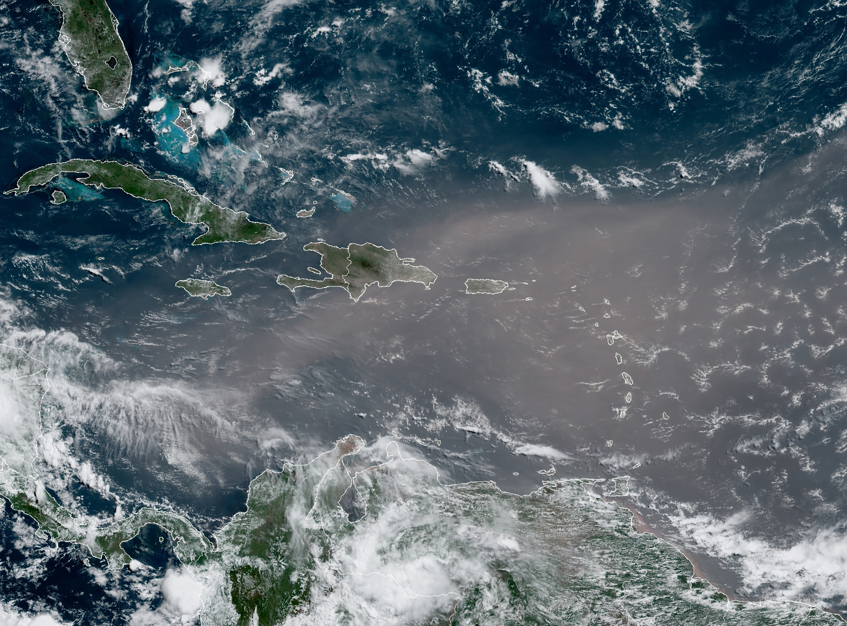
After three quiet weeks in the tropics, we have tropical storm Gonzalo, a cyclone about 1,000 miles east of the windward islands, which could become the first Atlantic hurricane of the 2020 season as it treks west towards Barbados.


