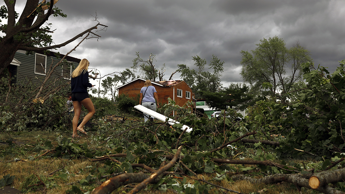
Strong storms marching through northern New England prompted tornado warnings in parts of Maine Monday and severe thunderstorm warnings elsewhere in the region, with more possible into the evening.
Severe thunderstorm watches were issued for all of Vermont and New Hampshire's Grafton and Coos counties until 9 p.m. Monday evening, as well as western Connecticut and Massachusetts through 11 p.m.
See severe weather alerts in your area here.
Get Boston local news, weather forecasts, lifestyle and entertainment stories to your inbox. Sign up for NBC Boston’s newsletters.
When under a tornado warning, take cover immediately. A severe thunderstorm watch means conditions are favorable for damaging thunderstorms to develop, while a warning means a storm is imminent. Please remain weather aware, and seek shelter indoors should a storm head your way.
The first full day of summer was certainly living up to its name. Hazy, hot and humid conditions across the region, along with the incoming front, were what triggered scattered thunderstorms through the afternoon and evening.
Damaging wind gusts and hail were expected to be the primary threats, although obviously in any thunderstorms that develop, downpours and lightning will occur too.
We will bring you live updates as warranted through the rest of the day.
Sign up for our Breaking newsletter to get the most urgent news stories in your inbox.
Lingering storms in northern and central New England will taper to leftover showers overnight. Tuesday, there will be another round of wet weather, mainly in southern and eastern areas during the late afternoon and evening. It won’t be nearly as hot either, with highs in the low 80s and lowering humidity by evening.
Behind the front, a nice fresh new airmass moves in, providing us with sunshine and considerably lower dewpoints
The break in humidity doesn’t last too long though. Expect some stickiness to return on Friday and linger for much of next week.
A classic summer pattern will set up for the weekend into next week with highs well into the 80s and daily pop up thunderstorms.