February is winding down and after a month of drastic temperature swings, it looks like we’ll end the month on a cold note.
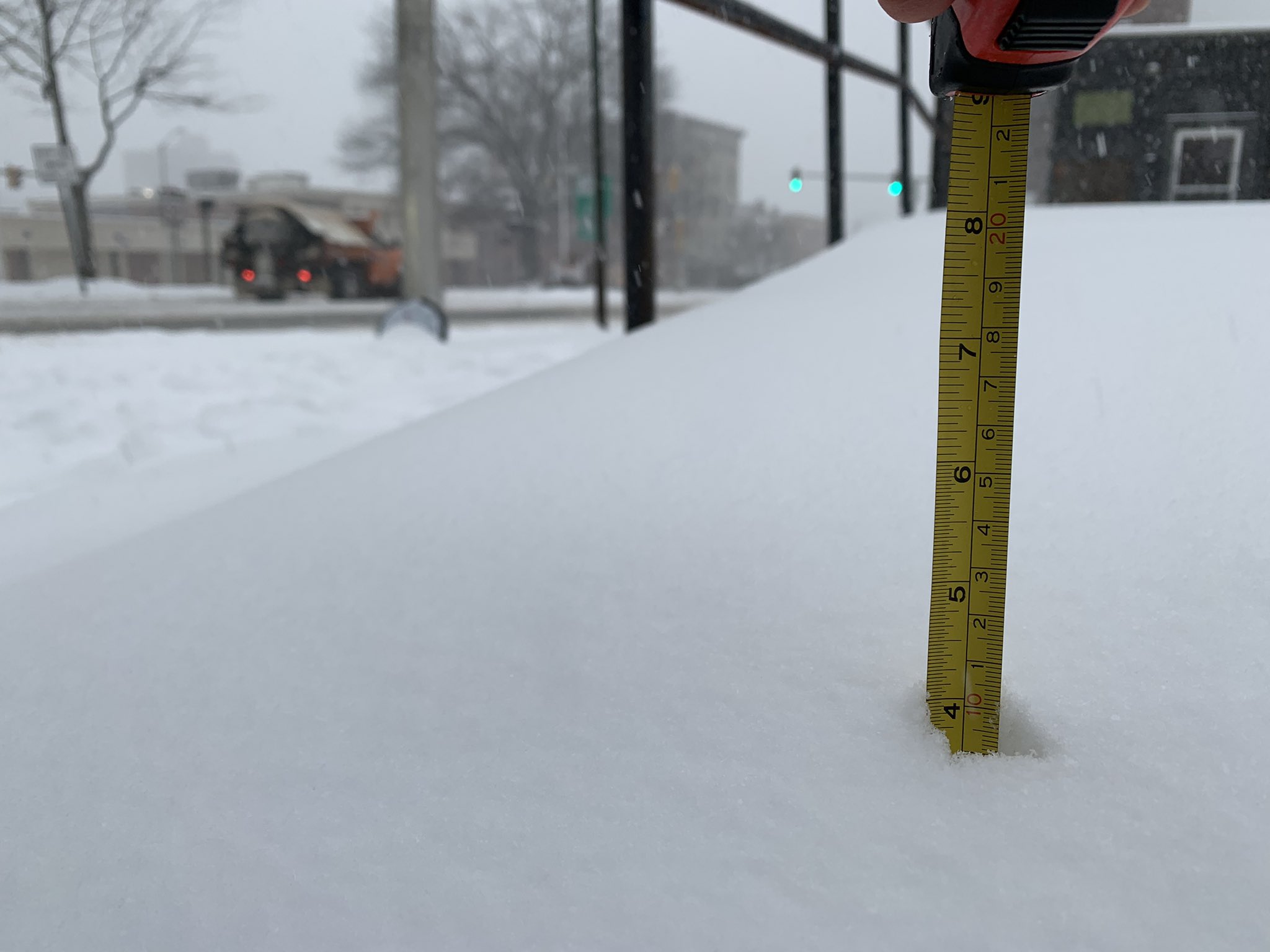
We saw a sun filled day across New England Saturday, but we were stuck in the 20s south and teens north. The sun did help to melt some of the new fallen snow and clear up some of those roadways, but as temperatures drop Saturday night, we may see some refreezing occurring on some of those untreated surfaces.
Temperatures will drop into the teens to low 20s south, single digits to teens north.
Sunday we’ll see lots of clouds around across northern New England in the morning and afternoon with scattered snow showers ahead of an Arctic frontal system that will usher in a reinforcement shot of cold air Sunday night into Monday.
Get Boston local news, weather forecasts, lifestyle and entertainment stories to your inbox. Sign up for NBC Boston’s newsletters.
The frontal system will pass through southern areas late in the day with only a few flurries and snow showers to go with it.
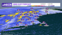
Winds will also pick up during the day with gusts over 25 mph, making it feel a bit cooler than what the temperatures are.
Highs will reach the upper 30s to around 40 south, and mainly in the upper 20s to low 30s north.
Sunday night we’ll see a few lingering flurries/snow showers exiting southern areas along with Arctic air funneling in via gusty northwest winds.
Lows will range from the upper single digits to low teens south, and single digits to around 0 north. The wind will make it feel much colder, so bundle up!
The work week starts out on a frigid note with temperatures moderating through the mid-week.
A clipper type system looks to bring a bit of snow to the area Tuesday night with light accumulations possible, especially across northern areas.