A cool start was made chillier by the steady but light breeze blowing from the north, holding morning wind chill values in the 20s for most of New England.
As a dome of high pressure, or fair weather, builds over New England Thursday, the wind will go quiet for most, with a gentle sea breeze developing to hold afternoon temperatures beneath sunshine in the 40s for coastal communities while the interior sneaks above 50 degrees.
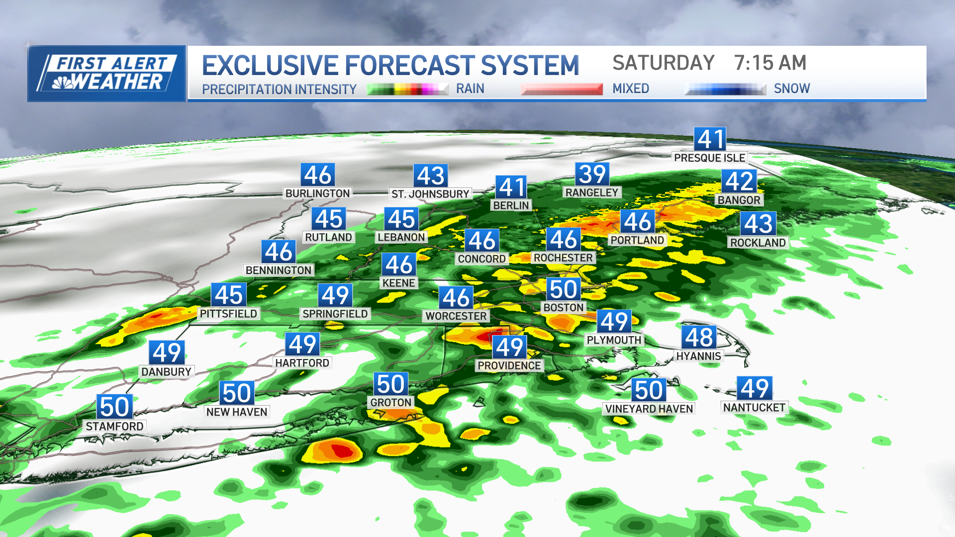
A quick-moving disturbance chugging east out of the Great Lakes will arrive to New England overnight Thursday night with scattered sprinkles and light showers after midnight into early Friday morning for central and southern New England, while northern New England sees snow showers with little impact, except one to two inches of accumulation are expected in the Crown of Maine.
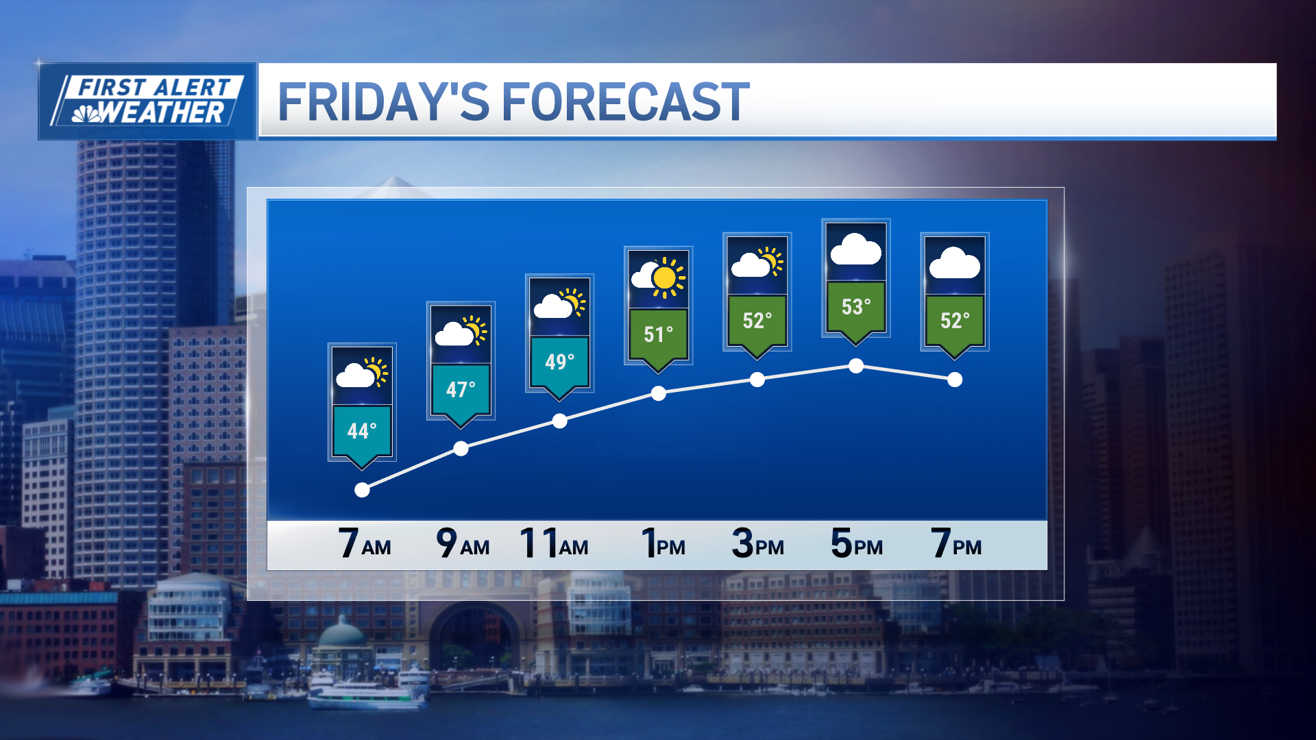
After lingering showers, sprinkles and clouds Friday early morning, the sun will return and Friday afternoon looks delightful – a bright sky and temperatures well into the 50s, pushing 60 in spots!
Enjoyable spring weather will stick around through the first half of the weekend, with Saturday unquestionably the pick of the weekend with high temperatures in the 50s to near 60 and sunshine giving way to increasing afternoon and evening clouds.
The late Saturday clouds come in advance of the next storm center, strengthening well west of New England as it crosses the Great Lakes into Canada, but likely spawning a new, coastal wave of low pressure along the southern New England coast Sunday that will both focus heavier rainfall and keep a gusty, raw wind blowing off the ocean for what will be an indoor day for the vast majority of coronavirus social distancing New Englanders, with northern New England snow expected instead, generally accumulating one to three inches from the Northeast Kingdom of Vermont to the Lakes and Mountains of New Hampshire to interior Maine.
Weather Stories
Improvement is expected Monday even though some showers may start the day, as a northwest wind kicks in behind our departing storm.
It won’t be long before another storm strengthens out of the central United States and treks east, this time passing south of New England but likely passing close enough and growing large enough to deliver some showers around Wednesday and Thursday of next week with cool, classic New England spring air holding firm in the exclusive First Alert 10-day forecast.


