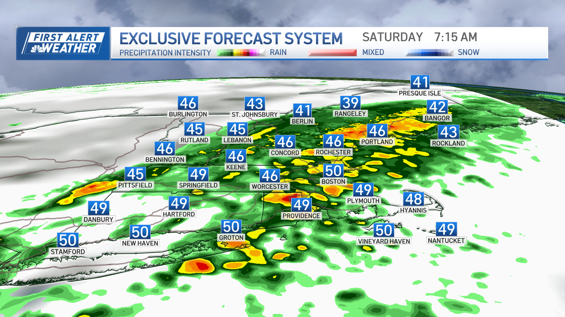
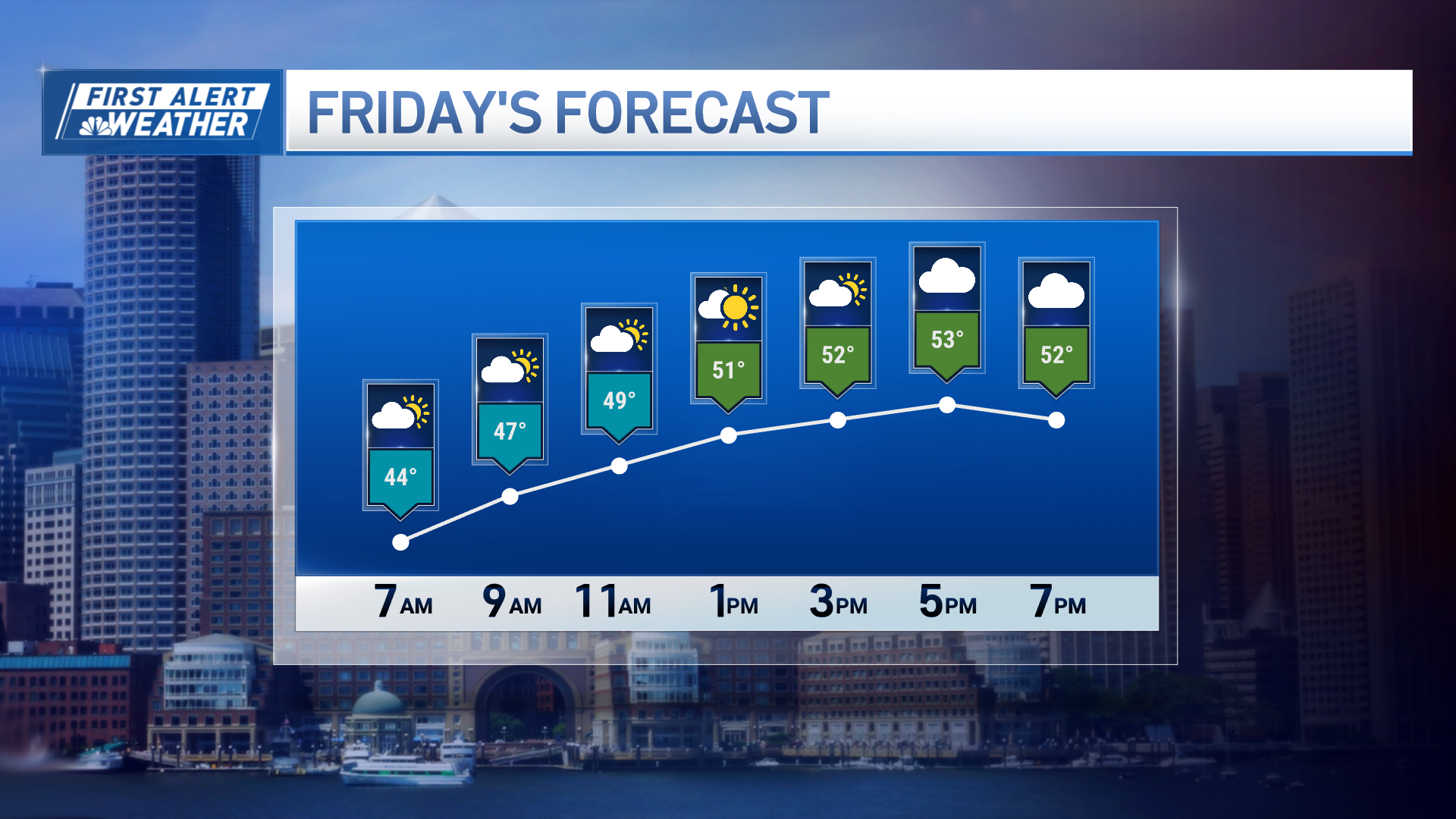
It might not be the brightest day today, but it will be warm once again. We will stay mild and dry through much of the weekend.
A weak disturbance tomorrow may bring a couple of showers into the region, but it won’t be enough to cancel your outdoor plans. Sunday will be the pick of the weekend with sunnier skies and temperatures hold in the 50s.
Monday into Tuesday looks very active. There will be a strong storm developing in the Ohio River Valley. It will move northeast, through the Great Lakes.
This is a terrible track for snow lovers in the New England. A track to the west will mean primarily rain will fall. There are signals that we could see a lot of rain. Early calls look like we could see 1-3 inches of rain.
Winds will be another issue. The wind direction is out of the southeast and our high wind events typically don’t come out of that direction. However, the warmer the air in place, the higher the probabilities that we will mix down some damaging winds.
At this point, 50-60 mile per hour gusts are possible. We also have the Full Beaver Moon, which means astronomically high tide. It won’t be like the tides we saw early in the month with the New Moon, but they will be higher than normal.
Some coastal flooding is possible. It appears the flooding looks to be minor, but stay tuned!
Weather Stories
The rest of next week looks fairly quiet and seasonable.


