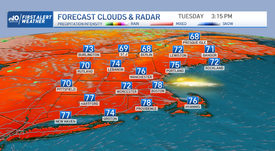
We can credit high pressure from Canada for this beautiful Tuesday in New England, a stretch that will continue overnight into Wednesday.
It will be clear overnight, with lows in the 40s and 50s north and 50s to low 60s. As the high pressure system moves east Wednesday, we have the return of a humid breeze, with mostly sunny skies.
Hurricane Larry is way out in the ocean but will start to impact our beach Wednesday as an ocean swell builds a bit, with a slightly elevated rip current risk. By Thursday and Friday, there will be a more significant swell of four to eight feet with a strong rip current as the hurricane zips east of Bermuda and into the Canadian Maritimes.
Get Boston local news, weather forecasts, lifestyle and entertainment stories to your inbox. Sign up for NBC Boston’s newsletters.
As for the skies, expect a strengthening south wind Wednesday to boost temperatures into the 80s all the way to the Canadian border, but an approaching cold front will trigger building clouds and incoming thunder to western New England by Wednesday evening into night – some of those storms may be strong.
Farther east, storms will slowly arrive from the west while weakening overnight Wednesday, then the instigating cold front will likely slow to a crawl Thursday, meaning recurring pockets of rain and embedded downpours able to produce either side of an inch of rain are in the forecast for eastern New England. Our weather team has issued a First Alert for Thursday, expecting an impact to one or both of the Thursday commutes.
By Friday, the cold front eases off our coast, leaving only a very slight chance of a shower Friday, but most of us will see great improvement en route to another shot of dry, comfortable air with plentiful sun just in time for the weekend!
Although a couple of disturbances show up in our forecast next week for an increased chance of showers both Monday and Wednesday, both systems look to be fairly quick-moving right now, so the exclusive First Alert 10-Day forecast certainly shows more dry days rather than wet ahead!