Saturday's spring-like warmth and sunshine was a nice break from the freezing cold, but we are heading back to colder temperatures starting Sunday.
We end this mild stretch on Saturday, which has given us temperatures in the 50s. Our cold front arrives Saturday night and takes temperatures down to the 20s and 30s by Sunday morning.
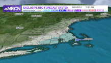
As our offshore storm brings snow into the southwest, it will stretch toward the New Hampshire and Maine border for a few hours before it retreats into the southeast.
Be prepared for your day and week ahead. Sign up for our weather newsletter.
Get Boston local news, weather forecasts, lifestyle and entertainment stories to your inbox. Sign up for NBC Boston’s newsletters.
When will it start snowing Sunday?
For the rest of the day, the snow stays south, bringing periods of moderate precipitation with some bursts into the southeast.
How much snow will we get in Massachusetts?
While the Cape is watching snow through Monday morning, the rest of our region will remain dry, with mostly cloudy skies and cold temperatures. Snowfall totals are expected to remain low for most, from a coating to 2 inches inland to 2 to 3 inches in Rhode Island and 3 to 5 inches in the Cape and Islands.
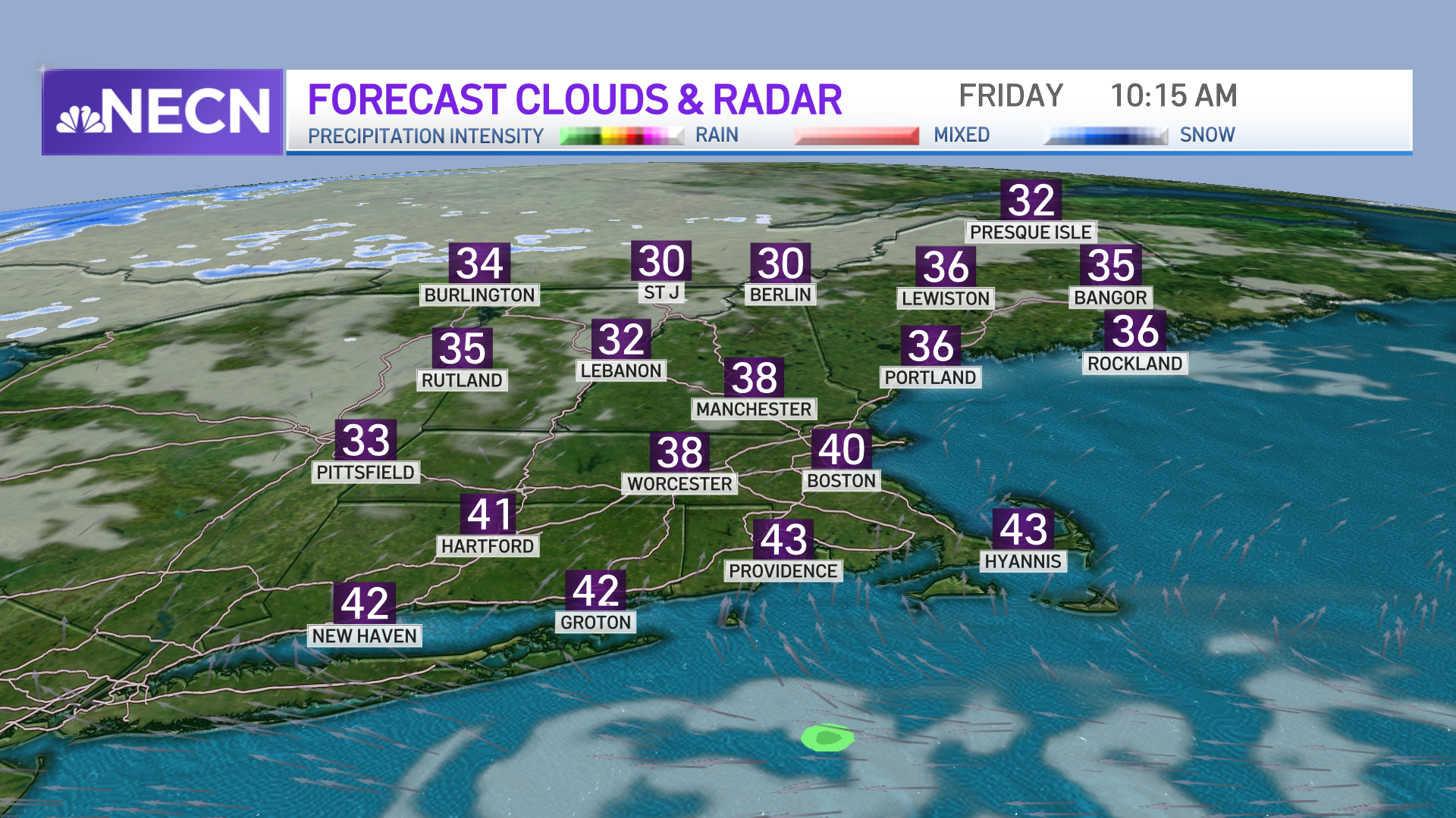
Our highs will remain in the low 20s on Monday, being the coldest afternoon of our 10-day forecast yet, with a slow increase toward the end of the week that takes us back to the upper 50s tagging along some rain.