We have sunshine for today!
We finally get rid of the fog and low clouds, and most of us are waking up to a good amount of sunshine.
There have been snow showers near the Canadian border, and where there is snow on the ground we have patchy black ice and frost to deal with. But the sun goes to work quickly with temperatures going up to the 30s north and 40 south for a nice Wednesday.
Wind from the northwest 10 to 20 mph will diminish and come around from the southwest later in the day.
We’ve issued a first alert for tomorrow morning's commute, as snow and rain will have an impact on our morning.
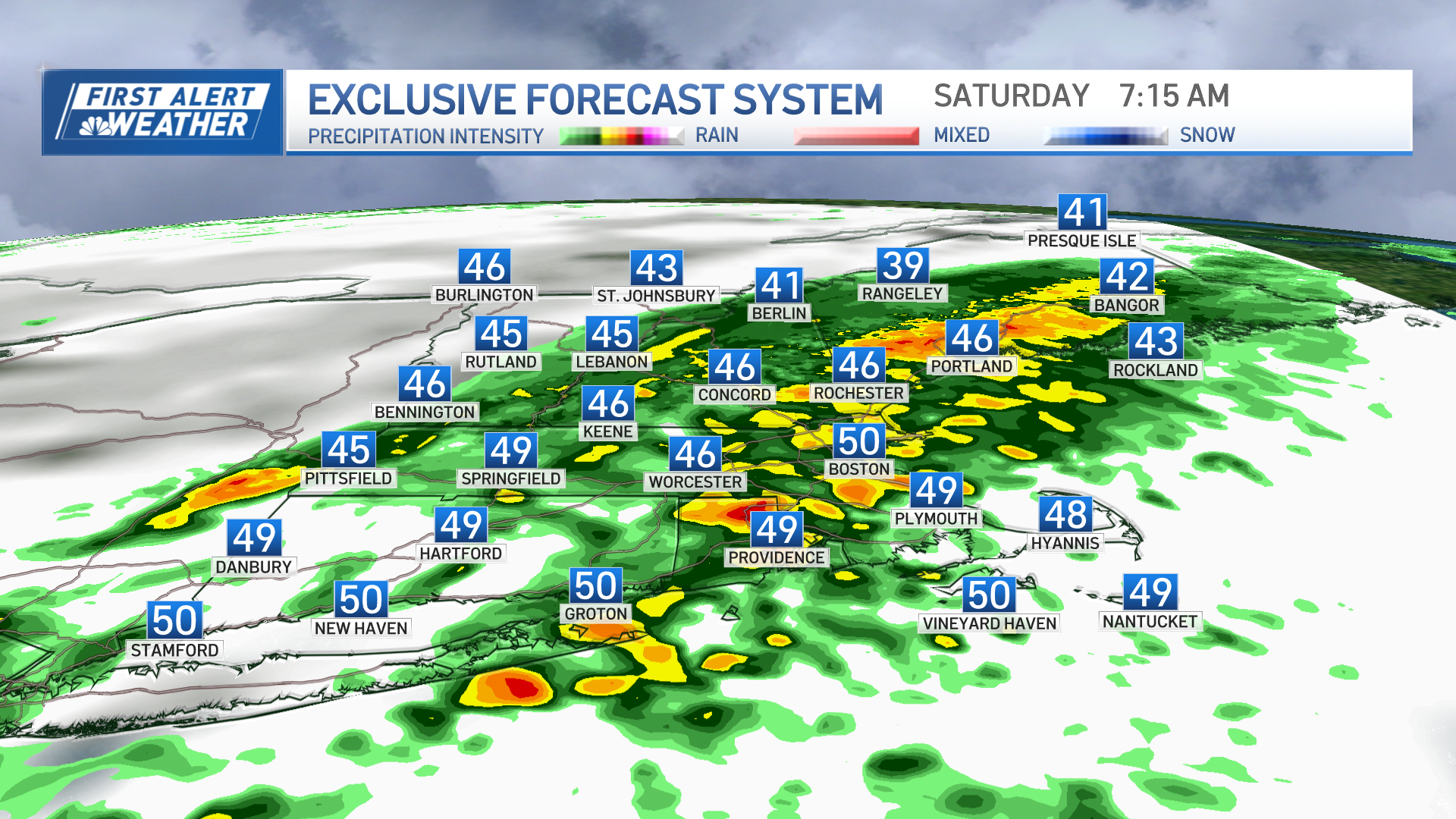
Things go downhill after sunset tonight with the snow developing in southwestern New England before midnight. Snow will advance quickly across southern and western New England before the sun comes up but snow will change to rain after only a couple of hours for most of Connecticut, Rhode Island and Massachusetts south of the Mass. Pike. Less than 2 inches are expected in this region, with probably no snow accumulating near Narragansett Bay east through Cape Cod.
For the morning commute, expect slushy puddles in southern New England, snow-covered side roads and sidewalks well inland, and accumulating snow with possible school post appointments or cancellations north of Route 2 in Massachusetts. This includes much of Vermont, southern New Hampshire, and southwestern Maine, where 3 to 5 inches of snow are likely before it winds down early tomorrow afternoon. Some of the ski areas may end up with closer to 6 inches or better. In southern New England a little bit of snow should be mostly washed away by about a half inch of rain with temperatures getting to the 40s south tomorrow, 30s north.
Weather Stories
There are two weather systems impacting us tomorrow, one is a low pressure system tracking along the south coast, and then late in the day and arctic cold front pushes in from Canada through northern New England in the evening.
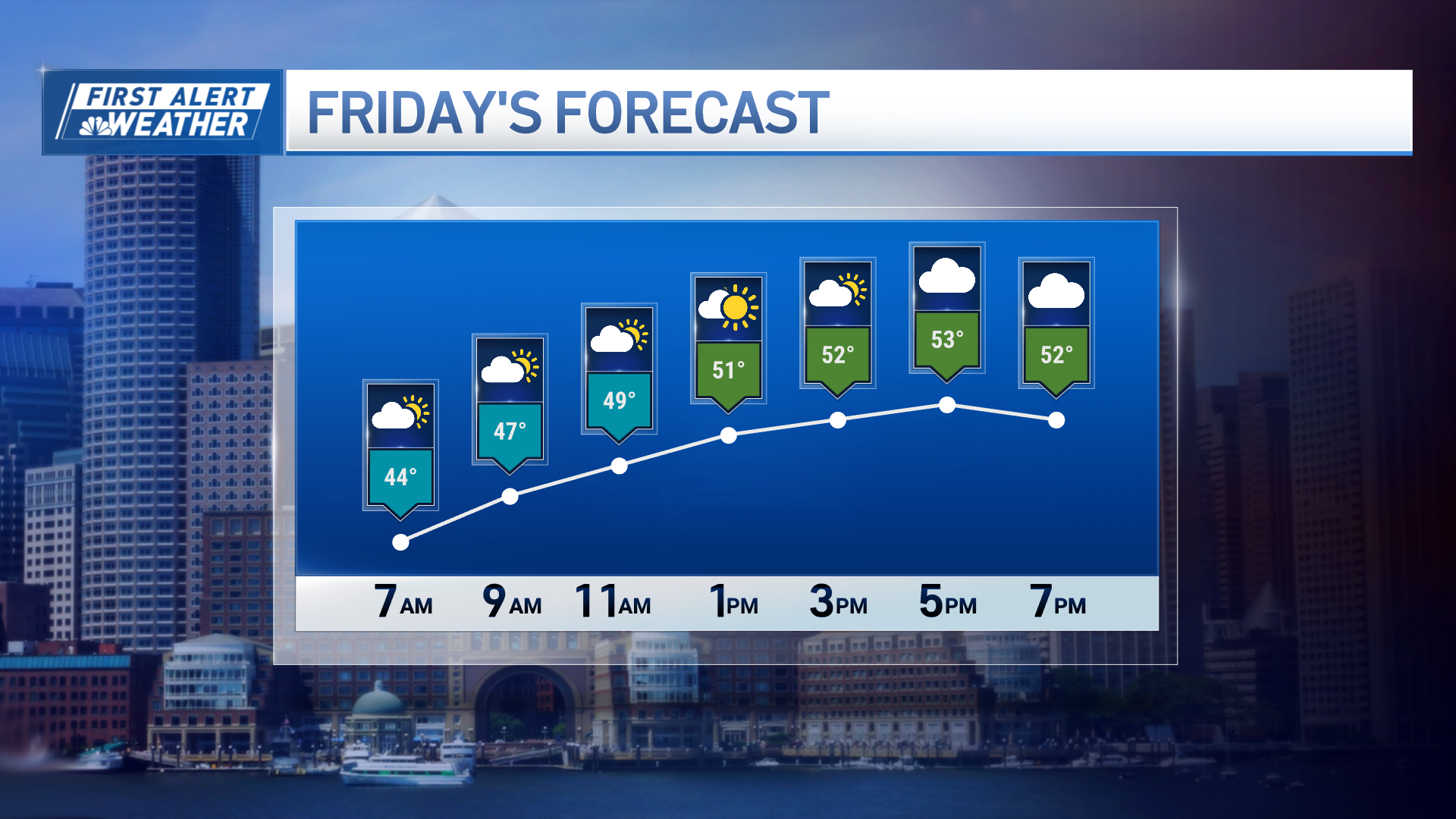
The arctic front is the leading edge of some of the coldest air of the season for much of northern New England tomorrow night. It also means we may have some upslope snow in the mountains through tomorrow night. But for most of us it just dries out and turns much colder for our Valentine’s Day Friday. Temperatures may start off in the 30s south and fall into the 20s, start off in the 20s north and fall into the 10s during the afternoon with wind from the northwest gusting past 35 mph, adding an extra chill.
Arctic high pressure passes right over us on Saturday, which means sunshine and less wind. But also we have to recover from a low temperature in the single numbers to low teens south, ranging to close to 20° below zero near the Canadian border. During the afternoon we will warm to 10 to 15° north, and 15 to 30° south.
On the backside of that cold high-pressure we will have clouds move in on Sunday with a chance of a few snow showers west and north, otherwise mostly dry with the temperatures in the 30s to lower 40s. We are then on the warmer side of the front with a chance of snow showers in the higher elevations and rain showers elsewhere off and on Monday and Tuesday, the temperatures in the 30s north and 40s south. A sharp front should bring a few downpours with warm wind on Wednesday morning, temperatures pushing 50° or more. But then late in the day the wind should shift and we have colder weather back in for later next week as seen here in our First Alert 10-Day Forecast.


