As a strong upper level disturbance drops southeast from Canada through the Eastern Great Lakes and into New England, an unsettled couple of days are setting up for our six state region.
With an early round of downpours and thunder already through most of Central and Southern New England, humidity has increased slightly but an abundance of clouds will keep daytime temperatures from warming too much – which works well for New England because it limits the threat for severe weather Monday afternoon, leaving downpours with occasional embedded lightning the biggest impact.
The problem is, with increasing moisture in the atmosphere, the downpours can drop copious amounts of rain in short-order. Observed already in parts of Western Massachusetts Monday morning where 1.25” of rain fell in only 50 minutes!
As new downpours and storms erupt during the afternoon into the evening, they’ll stay clustered, meaning not everyone gets rain at once, with Cape Cod and Islands as well as Eastern Maine picking up the least during the day, but in the mountains and hills, heavy rain can runoff quickly and may result in localized flash flooding later Monday into the evening, particularly across the hills and mountains of Western New England.
Get Boston local news, weather forecasts, lifestyle and entertainment stories to your inbox. Sign up for NBC Boston’s newsletters.
Monday night a round of severe storms will eject east from upstate New York and northern Pennsylvania – the northern edge of a large severe weather outbreak in the mid-Atlantic – and may survive as strong thunder into western CT before gradually weakening to downpours and embedded thunder while riding east across southern New England overnight Monday night.
Tuesday brings more showers, downpours and thunder, but with some breaks of sun the temperature will rise to the upper 70s and with increasing humidity this all adds up to an increased chance for severe thunderstorms capable of damaging wind, along with frequent lightning and heavy rain for localized flash flooding again.
Any outdoor plans Monday and Tuesday should include a plan for if and when rain and thunder threaten, and remember – “when thunder roars, go indoors!” If you can hear thunder, you’re close enough for lightning to be a danger and should seek shelter inside.
Weather Stories
A cold front Tuesday evening and night delivers a drier, new air Wednesday that will deliver great weather for the middle and end of the week, save perhaps for a late Wednesday thunderstorm in the Crown of Maine.
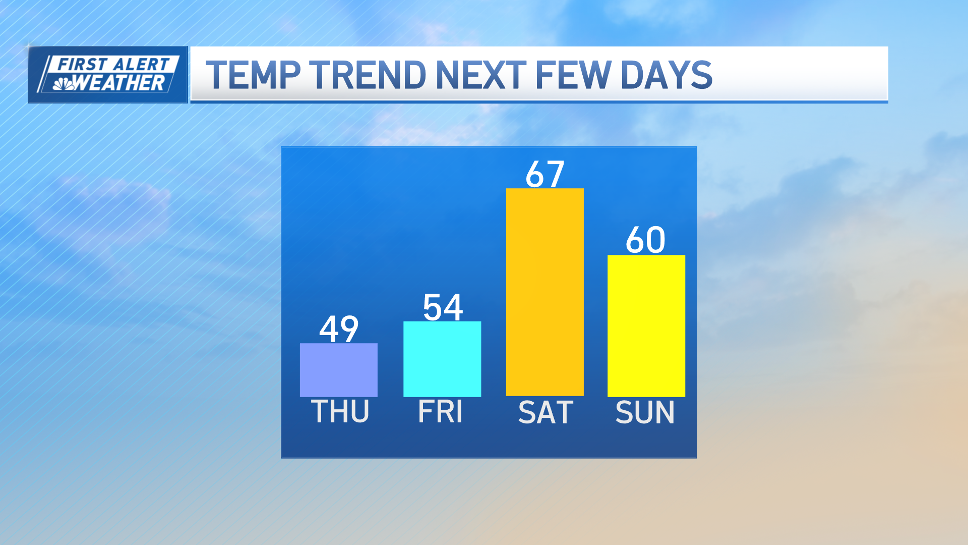
Warmth and humidity builds at the end of the week, sending high temperatures to between 85 and 90 degrees by Saturday with a chance of scattered afternoon and evening thunder, with temperatures in the 80s expected again Sunday with a decreasing chance of thunder.
Temperatures should hover near 80 early next week at the end of the exclusive First Alert 10-day forecast.


