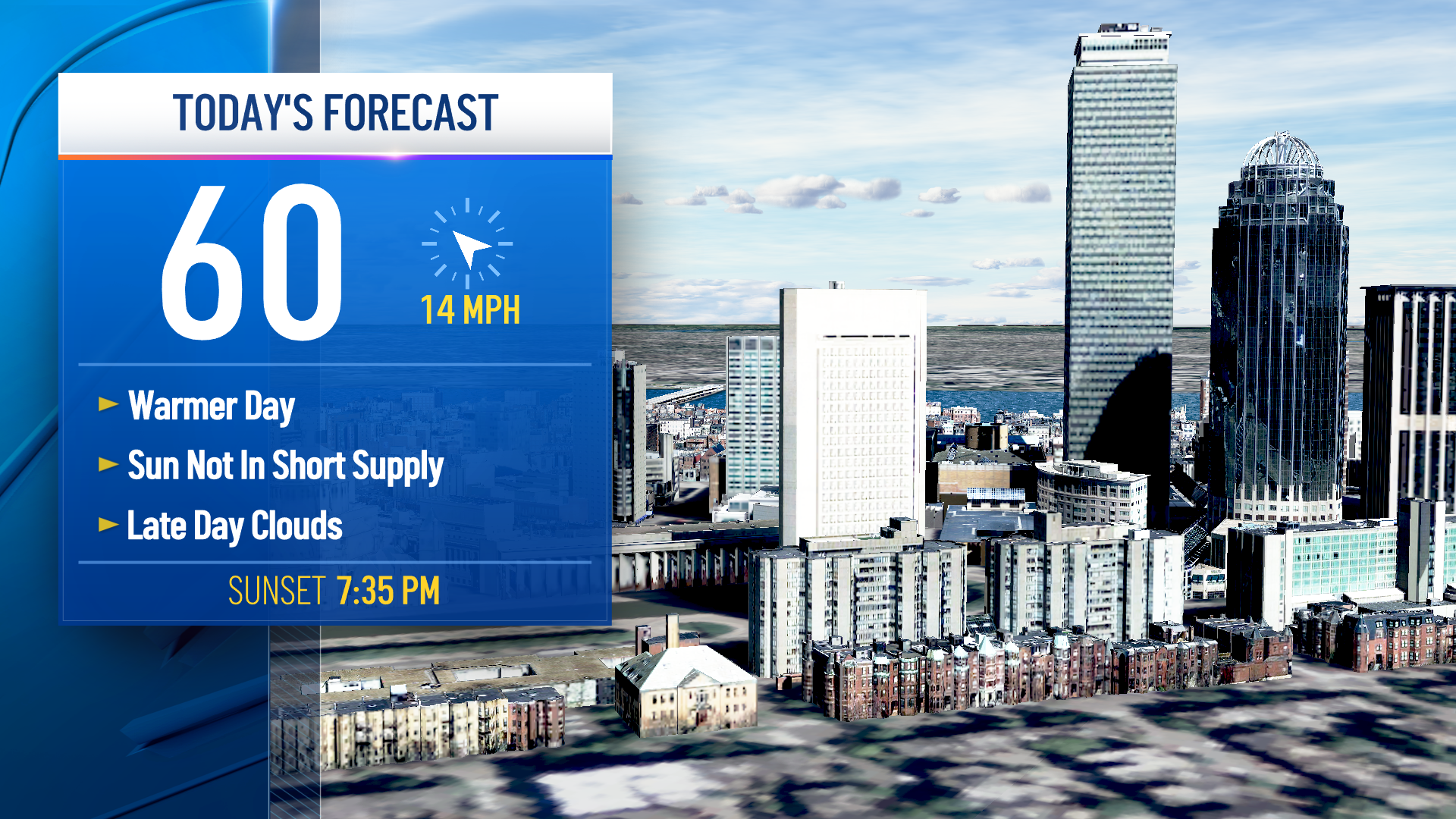
Every once and a while New England gets warmer and brighter air from the north and east -- that's what happened Tuesday.
It helps that we have more blue sky than clouds, too. Even limited sun provides a relatively strong spring sun angle, meaning temperatures inland could reach or exceed 60 degrees Tuesday and Wednesday, with a few locations along and west of the Connecticut River even nearing 70 degrees. But ocean water temperatures in the 40s will keep daytime highs near the coast in the 50s both days.
A large chunk of high-altitude atmospheric energy moves east from the Great Lakes into the Northeast from Thursday into Friday and this is expected to prompt storm development near or directly over southern New England, meaning rain develops Thursday evening and night and continues through Friday, along with an increasing and gusty east wind, especially near the coast.
The story becomes more complicated in that Thursday night and Friday timeframe when looking at the temperatures through the lowest few thousand feet of the atmosphere over New England – cold enough that snow becomes a possibility for some!
Get Boston local news, weather forecasts, lifestyle and entertainment stories to your inbox. Sign up for NBC Boston’s newsletters.
Right now our thinking is snow will initially mix in Thursday night for the Green Mountains, Berkshires and Monadnock Region, then may spread into the higher terrain of Worcester County on Friday and at least some flakes may mix in during Friday for the suburbs north and west of Boston!
It’s honestly too early with this situation to speak with any confidence on snow amounts – our exclusive NBC Boston and NECN Forecast System is predicting amounts of two to six inches in the hills of the deep interior, with even higher amounts in mountains. But with a warm ground leading into the event and marginal air temperatures, our team of meteorologists certainly takes a cue from the very guidance we’ve built ourselves; we also step carefully into a slew of variables that can significantly impact how much snow actually accumulates.
Regardless, the windswept rain for many will slow Friday travel for much of New England and wind gusts may exceed 45 mph at the coast.
Weather Stories
The weekend brings improvement with a recovering temperature into the 50s and early next week our exclusive 10-day forecast features high temperatures into the 60s for at least a couple of days to start the week.


