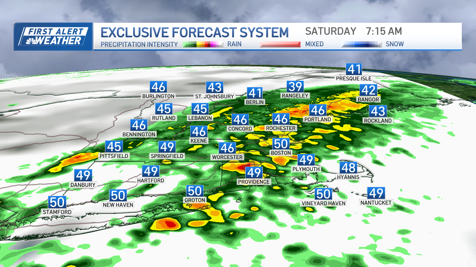
We have issued a First Alert today as a low pressure system swings in rain, snow and wind across the northeast.
Scattered rain will continue to head in from the west this afternoon. There is a chance for a severe thunderstorm to develop through 6 p.m. today across southern New England as a triple point moves across northern New England. This will bring in a surge of wind from the south and a surge of warm temps in the low 50s. The elevated instability will trigger elevated storms and these storms could produce thunder, lightning, heavy rain, damaging wind and hail.
Northern New England will see the rain flip over to wet and pasty snow. The snow will pile up through Friday, leaving several inches of accumulation. The snow weighing down branches and power lines, combined with gusty winds could lead to damage as well as power outages.
Central and northern Maine, and northern NH will see 12 to 18 inches of snow through Friday. Central New Hampshire, inland Maine and the Green and White mountains will see six to 12 inches. Three to six inches of snow are possible as you near the coast of Maine and in lower elevations across Vermont, New Hampshire and through the Berkshires.
The rain and storms quickly move out after 6 p.m. today for southern New England. Snow showers linger to the north through Friday afternoon. A few rain showers will develop in southern New England for Friday with a cool pool of air aloft. Some of the showers may produce small hail.
These showers all dissipate after sunset. Temps on Friday will be stuck in the 30s north, 40s south and the wind will stay gusty from the west, around 40 mph.
Coastal flooding will be an issue due to the supermoon on Tuesday during the next few high tide cycles in the afternoon and around midnight.
Weather Stories
The gusty south wind today will increase the coastal flood threat today and tonight for coastal Maine. Minor coastal flooding, with pockets of moderate in Maine, will continue through possibly Saturday afternoon.
The weekend will bring us dry weather and much needed sunshine. Saturday's highs top off in the low 50s. Sunday we gain a few more degrees south with highs near 60 and 50s to the north.
Another potent storm system will bring in heavy rain for all of New England on Monday, and more wind.
Temps reach the low 60s Monday into early Tuesday morning, before cooling to the 40s and 50s again for the rest of the 10-day.


