Tuesday morning sunshine yields to advancing and increasing clouds in the New England sky ahead of an energetic disturbance that is moving northeast out of the Appalachian Mountains. It’s set to pass just south of the region overnight Tuesday night.
Although the disturbance is intense, it’s very small and focused, and lacking the moisture to become a bigger storm – at least for now.
As the energy center aloft passes over the ocean in waters south of New England, the shot of ocean moisture will contribute to strengthening and expanding the disturbance as it becomes a better-defined storm center while continuing to track to the northeast.
This deepening (strengthening) storm will throw moisture north over New England – enough to result in developing snow and rain between 9:30 and 11 p.m. Then, it will likely transition to mostly snow as temperatures fall from the middle and upper 30s to either side of 30.
This drop in temperature will be just enough to hasten accumulations. While road treatments will likely do pretty well on interstates, southeastern Massachusetts is predicted to see the highest amount of snow at 2-or-3-inches. The overnight disturbance will likely create some slick spots for Wednesday morning’s commute.
Farther north and west, amounts will be a coating to an inch and impact will be far more limited. Even in the snowiest spots, delays are possible but rapid improvement is expected as the snow tapers by around 6 a.m. The sun will also break through with Wednesday highs around 40 for quick improvement.
Wind gusts to 35 mph are expected Wednesday as the air begins to change, eventually ushering in cold air for lows in the teens and single digits north Wednesday night. Then, highs will only reach around 30 and 20 north Thursday with a wind chill some ten degrees colder.
Weather Stories
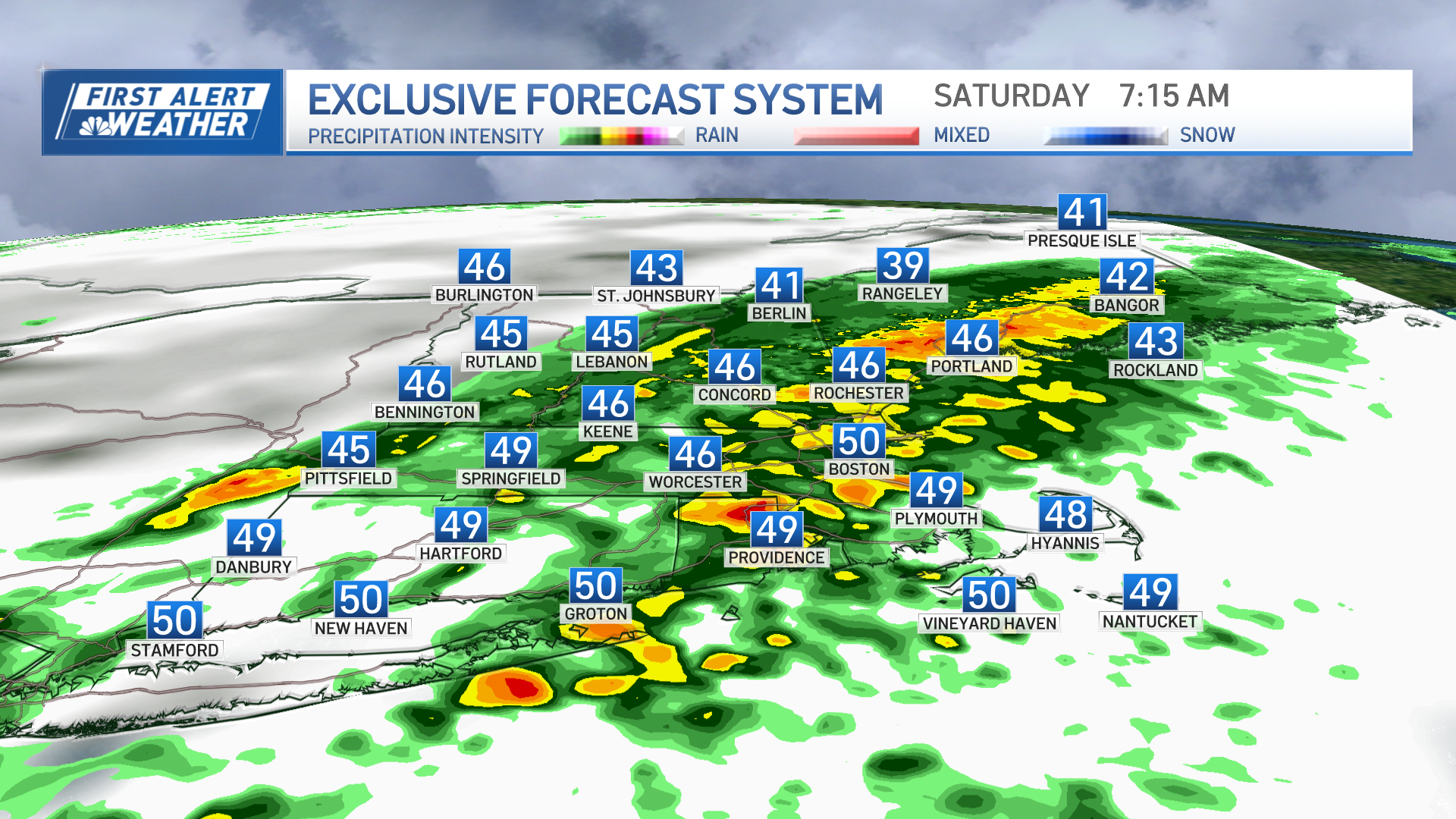
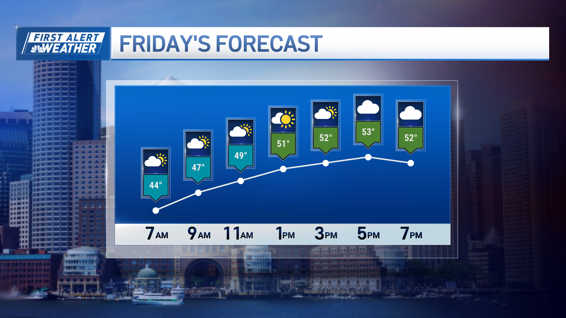
Amazingly, temperatures will rebound rapidly near 50 degrees on Friday with increasing clouds and a warmer wind. Showers that are expected to arrive Friday night (which may start as mix for some, especially north) will continue off and on Saturday as temperatures surge near 60.
Temperatures are still looking as if they will stay above normal even as cooler air arrives through tapering showers Sunday, echoing what we conveyed in our First Alert monthly forecast at the start of January.


