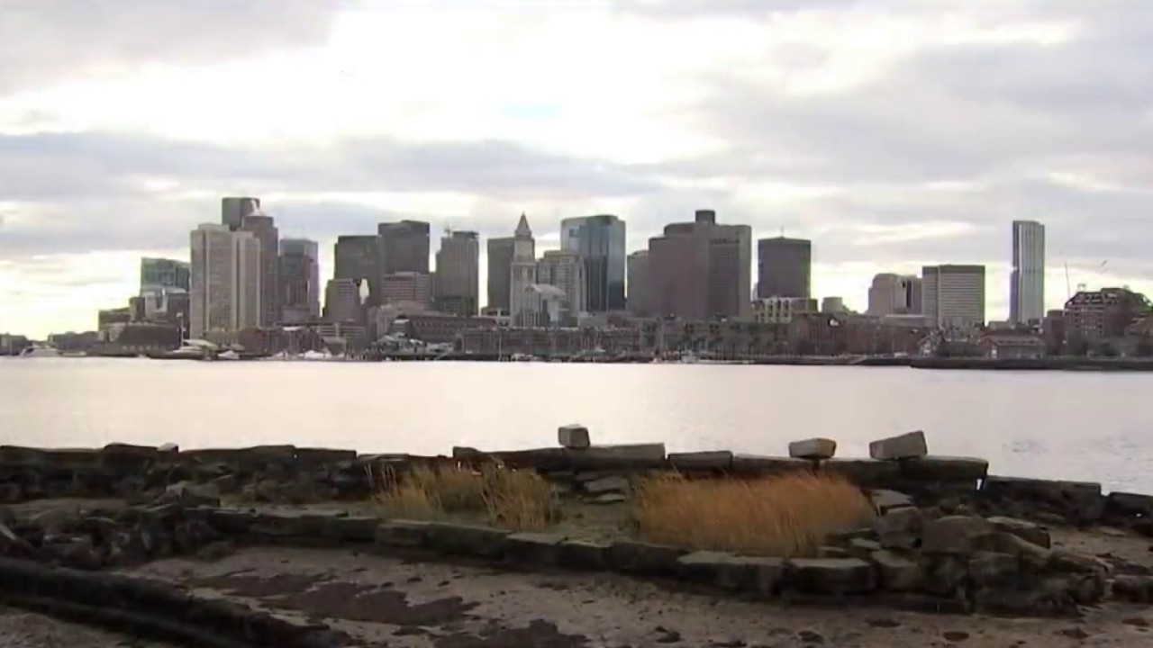
Today is a nice quiet end to the work week before a windy, rainy system moves through tomorrow. The clouds increase as the day goes on. Our highs will be in the 30s to low 40s south with a light southeast breeze.
By evening, the wind picks up a bit and we start to see scattered rain in southwestern New England first as the storm system approaches.
Friday night into Saturday morning it will be windy with gusts as high as 50 mph at the south coast and in the mountains. The area of low pressure tracks right across New England Saturday morning into the afternoon. This system is carrying moisture and mild air all the way from the Pacific, so we have lots of rain and temps nearing 50 degrees in southern New England.
Get Boston local news, weather forecasts, lifestyle and entertainment stories to your inbox. Sign up for NBC Boston’s newsletters.
The wind shifts by late afternoon as the rain continues south and a mix to snow occurs in northern and western New England. The snow showers will be slow to taper Saturday night, but the rain south will end by late afternoon. We expect 0.5" to 1.5" of rain through Saturday, with 1-3" of snow in the Berkshires, central Vermont, New Hampshire and Maine and 3-6" in the mountains.
Sunday brings a gusty west wind and cooler temps in the 30s to low 40s south. Another shortwave will swing in a few snow showers in ski areas Sunday and will add another few inches of snow in some of the peaks.
Next week we have several disturbances moving through and a split in the forecast models as we go further in time. Ski areas have repeated snow shower chances next week, while a wintry mix is possible elsewhere sometime Tuesday night, Thursday night, and a larger system potential for Friday into Saturday. Highs will be cooler in the 30s through next week.


