
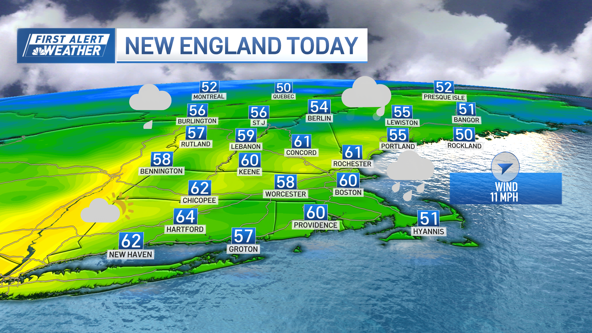
The cool, fall air of this weekend has been fighting a battle against incoming moisture that represents the decaying remnant of Tropical Storm Gordon, the storm that made landfall on the Gulf of Mexico coast last week.
Eventually, the moisture will win out, spreading rain from southwest to northeast across New England Monday morning to this evening, respectively.
Some elements of heavier rain will develop Tuesday night, particularly over Western, Central and Northern New England, while the wind on Cape Cod will gust over 40 mph from the southeast. Those gusts will usher more humid air into Southern New England.
The new, humid air Tuesday will team with a few breaks of sun between lots of clouds to bump temperatures into the 70s and near 80. However, this will also lead to the development of scattered showers, downpours and embedded thunder.
By Wednesday, the chance of showers should be confined mostly to Southern New England. While Hurricane Florence makes landfall in the Carolinas Thursday evening or night, New England actually slides into a nice stretch of weather.
[NATL] Extreme Weather Photos: Record Heat Threatens Europe
Local
In-depth news coverage of the Greater Boston Area.

Comfortable temps are in store for the upcoming weekend with high temperatures near 80 and fair skies.
Any leftover rain from Hurricane Florence will likely take until next Monday or Tuesday to reach New England in our exclusive Early Warning Weather 10-day forecast and would be significantly weakened by then.
