Although the weather looks similar Tuesday to what it was Monday, there’s a meaningful difference in how it feels – cooler!
A large dome of high pressure – fair weather – is building into Ontario and Quebec, northwest of New England, as our weather migrates southeast into New England from Canada. Aloft, this means strands of wildfire smoke from Canadian wildfires has been carried into the New England sky for the second day in a row, adding color to the sunrise and a hazy appearance during the day, combining with some otherwise decorate high-altitude cirrus clouds.
At the surface, the high pressure center has wind turning in a clockwise fashion around its center, which induces a northeast wind for New England – off the ocean with water temperatures in the middle 50s and therefore keeping Tuesday cool.
Coastal communities will have trouble breaking out of the 50s for high temperatures Tuesday afternoon while inland communities reach the lower to middle 60s.
Get Boston local news, weather forecasts, lifestyle and entertainment stories to your inbox. Sign up for NBC Boston’s newsletters.
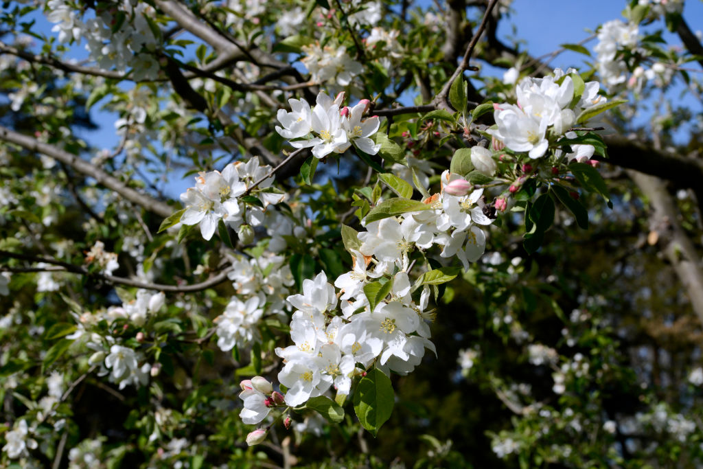
Of course, cooler air doesn’t have much impact on the pollen count – still exceptional with nearly every tree pollen except pine now in the mix as another dry day with a breeze means the pollen is stirred again.
At night, the dry air and a clear sky allows for temperatures to drop, so Tuesday night should bring more low temperatures in the 30s in colder valleys of southern New England and 20s in valleys of the north.
Yet again, sunshine will turn temperatures around quickly Wednesday morning – in fact, it’s not entirely impossible in the rapid rise of temperatures Wednesday morning that a dust devil, or swirling vortex of dust under a clear blue sky, could develop in an isolated spot around New England, though such phenomenon are rare.
Get updates on what's happening in Boston to your inbox. Sign up for our News Headlines newsletter.
Regardless, high temperatures reach the 70s Wednesday and rise to around 80 degrees both Thursday and Friday as the ocean influence wanes in favor of a more westerly, then southwesterly wind.
A weak jet stream-level disturbance may deliver a shower or sprinkle Thursday afternoon or evening, though those are expected to be few and far between, then a higher chance of showers develops Friday afternoon as a follow-up disturbance drives a surface cold front into New England from Canada.
Behind the front, the air cools from around 80, but still should make it into the 70s Saturday, then cools to the 60s for highs Sunday.
Meanwhile, persistent showers and embedded downpours well southwest of New England will slowly nudge northeast over the weekend, and may deliver some showers to southern New England Sunday night into Monday, though exact timing and placement are still TBD, with temperatures in the 60s most days next week in our exclusive First Alert 10-day forecast.