


Thursday night: Partly cloudy, muggy, some patchy fog. Lows mid to upper 60s. Friday: Morning fog, partly cloudy, afternoon scattered thunderstorms, some strong to severe with damaging wind and heavy rain. Highs in the upper 80s. Friday night: Storms end early, damaging wind possible, clearing overnight. Lows in the 60s.
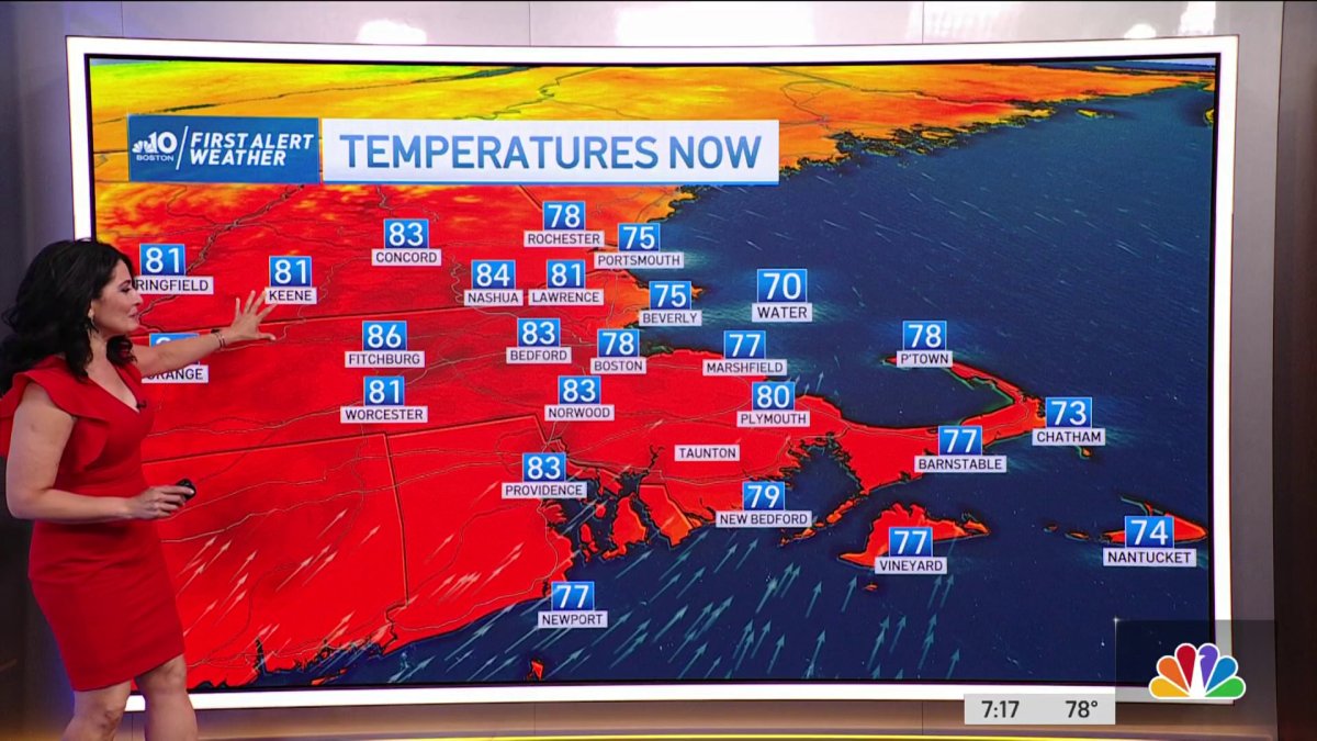
We’re dealing with another very warm day across much of New England, with the warmest temperatures confined to inland locations as a weak sea breeze develops Thursday afternoon, knocking temperatures back a bit along the coastline.
A few isolated showers will develop Thursday afternoon, especially across central and coastal Maine. Along the coastline in southern New England, we may see an isolated shower "just" inland later Thursday, especially over southeastern areas, where a weak sea breeze boundary may create a bit of lift in the atmosphere.
Highs reach the mid 80s to 90 inland, low to mid 80s coast south, mid to upper 70s far northern New England and along the Downeast Maine coast, mid 80s inland.
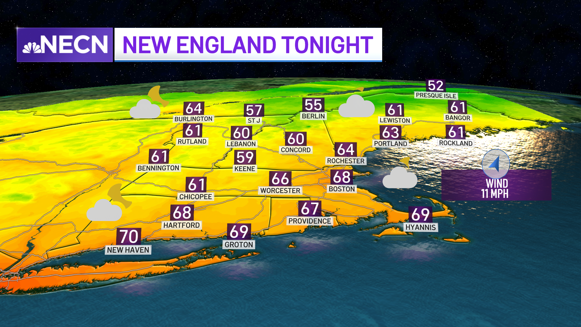
Muggy and mild weather will be here Thursday night, with some patchy fog developing once again in the typically prone areas. Clouds will be on the increase from the west with the risk for showers late across northern Vermont ahead of an approaching frontal boundary. Lows in the mid to upper 60s south, around 60 north, low to mid 50s from the Northeast Kingdom of Vermont to northern Maine.
Get Boston local news, weather forecasts, lifestyle and entertainment stories to your inbox. Sign up for NBC Boston’s newsletters.

Friday is looking fairly active as low pressure tracks north of New England and its ensuing cold front passes through the region. Along that frontal boundary, we’ll be watching a line of showers and thunderstorms which may become strong to severe as the system passes through the region.
Damaging wind and hail will be the main hazards, with a very low chance for a tornado. A First Alert Stamp has been issued on our Exclusive 10-Day forecast for this reason. The timing of the frontal system will be in the morning to early afternoon northern and central New England, mid-afternoon and evening southern areas.
Local
In-depth news coverage of the Greater Boston Area.


Behind the system, we’ll see a refreshing, less humid airmass settle in for the weekend with highs in the 70s and 80s.

