
Early Warning Weather Alert: Flash flood warnings have been declared in New Hampshire.
Click here to see the latest severe weather alerts.
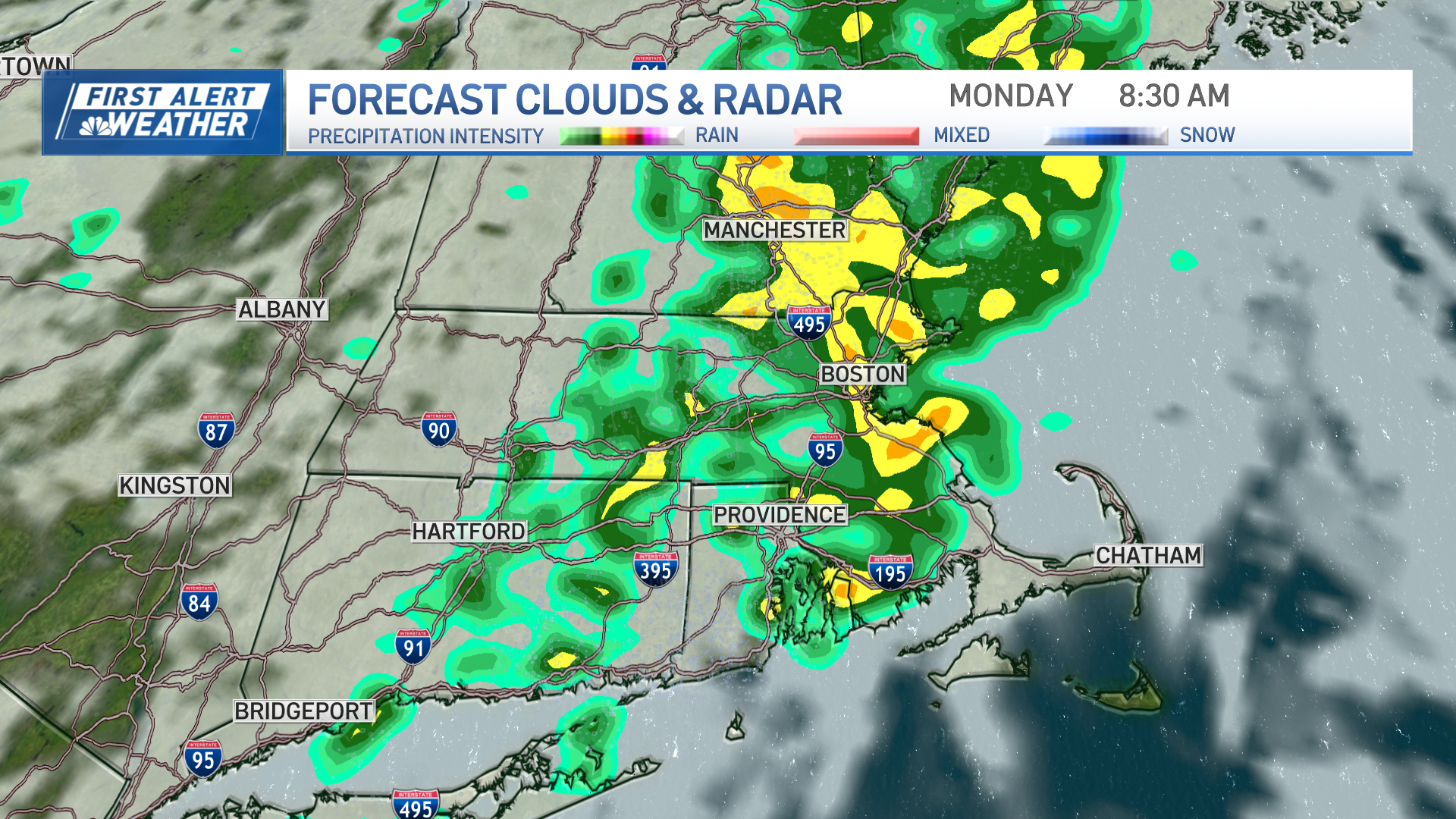
Rounds of downpours and storms will continue Wednesday evening into the night across New England as muggy air remains locked in place. The biggest threat with these cells is the localized heavy rain that quickly causes areas of street flooding.
Thursday will bring a blend of sunshine and clouds, and more pop up downpours and storms in the still humid air mass. Highs will be in the 80s, so not quite as hot as past days.
Late Thursday, expect some clearing to arrive in Western New England. That will then continue to slide east, bringing more pleasant weather for week's end.
Friday will feature plenty of sunshine, lower humidity and highs in the 80s.
The weekend looks best along and north of the Massachusetts Turnpike for now. That means the most sun is likely over the mountains of northern New England. Clouds will be more numerous, with a better chance of scattered showers or a storm, south of there. Expect highs in the 70s and 80s. Even in far southern New England though, neither day will be a total washout.
Local
In-depth news coverage of the Greater Boston Area.

Next week also looks more seasonable, with more 80s than anything else.